

MillvilleWx
-
Posts
4,422 -
Joined
-
Last visited
Content Type
Profiles
Blogs
Forums
American Weather
Media Demo
Store
Gallery
Posts posted by MillvilleWx
-
-
Just now, WVclimo said:
Legit snow squall now. Knocked the temp down to 37.
I’m keeping my eye on that one. That’s got a chance to hold together over to my area.
-
 1
1
-
-
I’ll add we had 1.67” of rain yesterday at our place. We missed most of it traveling back from Myrtle Beach, but we got clobbered once we got to the Capital Beltway with those elevated thunderstorms that rolled through. It was dumping rain
-
1
-
-
Light snow shower in north Frederick
44°
-
35 minutes ago, katabatic said:
According to NWS I’m in the 100+ inch zone at Donner. There is 3 extra bedrooms at this place…anybody wanna come and help me shovel lol
Should be good for 4-6ft up at that elevation. Enjoy the pasting!
-
21° at my place this morning at 5AM. Brrr
-
Took a ride through the Catoctins today. Still 2-4” of snow OTG up around 1200’+
Temp was 45° at my place and got down to 36-38° on top of the mountain. Whole different world up there. Really is beautiful
-
3
-
-
Went for a breezy, chilly walk around Baker Park earlier. Felt very much like a prime winter day. A little snow around. It was pretty nice! I want to walk around Baker after a big storm at some point. Got to be an experience.
-
On 1/19/2024 at 8:23 PM, MillvilleWx said:
12/19 - T
1/6 - 0.75"
1/15-16 - 4.7”
1/19 - 3.75”
Total - 9.2”
5N Frederick, MD
On 2/13/2024 at 9:16 AM, MillvilleWx said:2/13 - 2.3”
Total* - 11.5”
*Missed a snow event in January. No reading so likely closer to 12-12.5”
2/16 - 2.3"
Total* - 13.8"
*Missed a snow event in January. No reading so likely closer to 14.3-14.8”
-
2.3” here in 5N Frederick
Same as last storm. That’s kind of a weird coincidence. This snow is much fluffier though compared to the last one.
-
3
-
-
1 minute ago, NorthArlington101 said:
Uh oh… time to go to bed?I would’ve went to bed ages ago in DC for snow purposes. Storm quickly went backwards for the district after the 12z hi-res
-
Hate to say it, but kudos to the HRRR/RAP combo for sniffing this out basically since 14z runs. They are going to hit the nail on the head for here and basically hit the northern band in PA, to a degree.
Im not a HRRR disciple by any means, but it can be useful for trends in certain setups. It struggles with southern stream disturbances and does better with NS systems. I think convection within SS disturbances causes chaos in the model. Would be interesting to study.
My forecast earlier was terrible and I really forced what I showed everyone here. I didn’t have a good mental day today, so seeing it snow nicely helped bring up my spirit. Depression sucks, that’s all I have to say.
Have a good night everyone. Enjoy the snow, whatever falls. Truly a treat.
-
3
-
 2
2
-
 1
1
-
-
1 minute ago, psuhoffman said:
Before the “hrrr great dryening” took over the conversation I was trying to advocate it the surface can just be cold enough rates and ratios could be really good based on the mid levels
Yeah. I think the 5” is pretty dead south of M/D except for maybe your hood, but 2-4” is still decent for those NW of US29. 7H fronto went into PA and that pretty much killed any chance at the max for here. Annoying, but it is what it is. This is still pretty nice to see.
-
1
-
1
-
-
-
SN+
Giant flakes. These are some very impressive dendrites. Everything has caved, including the parking lot. This is easy 1+”/hr
-
5
-
-
Moderate to bordering heavy snow now in Frederick. Massive flakes. Cars completely covered and grass totally whitened up.
-
8
-
-
Steady light snow 5N Frederick
-
56 minutes ago, MillvilleWx said:
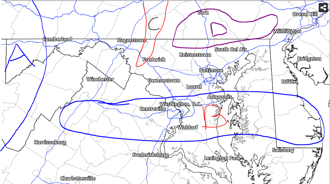
Rough snow forecast outline (Medium Confidence):
Zone A: 6-10"
Zone B: 3-5" w/ stripe of 5-6" within the 85H frontogen band that sets up from NoVA through SoMD. The potential does include the DC metro, but best chance for highest totals will lie on the edge and outside the beltway. Uncertainty for Southern DE due to thermals
Zone C: 4-6" in the Catoctins and adjacent terrain
Zone D: 4-6" w/ max of 7" elevation areas above 650ft. This is tricky depending on 7H frontogenesis placement
Most of region: 2-5" fairly widespread. Higher totals within the Parrs ridge area from NW MoCo through western HoCo into the Carroll/Frederick border (Clarksburg/Damascus/Mount Airy). 1-2" for areas south of Zone B
I'll try to fine tune this forecast with the new 12z data set. Might be bumping totals a bit
-
4
-
1
-
-
23 minutes ago, DDweatherman said:
Perfect pass for us at h85 and the h7 fronto is off the charts. If the NAM verified verbatim, there would be 2-3"/hr rates happening somewhere and possibly TSSN+
3k is a pounding too, funny how kuch is lower than 10:1, with those soundings and that setup, the growth should be great.
Colleague and I were just talking about this. Pivotal utilizes the surface as part of the formula for ratios on Kuchera and it's weighted too heavily. If it started off the surface from 925 and up, it would be much much better. The Kuchera ratios are better on WeatherBell, but still might be a touch high.
-
2
-
1
-
-
Rough snow forecast outline (Medium Confidence):
Zone A: 6-10"
Zone B: 3-5" w/ stripe of 5-6" within the 85H frontogen band that sets up from NoVA through SoMD. The potential does include the DC metro, but best chance for highest totals will lie on the edge and outside the beltway. Uncertainty for Southern DE due to thermals
Zone C: 4-6" in the Catoctins and adjacent terrain
Zone D: 4-6" w/ max of 7" elevation areas above 650ft. This is tricky depending on 7H frontogenesis placement
Most of region: 2-5" fairly widespread. Higher totals within the Parrs ridge area from NW MoCo through western HoCo into the Carroll/Frederick border (Clarksburg/Damascus/Mount Airy). 1-2" for areas south of Zone B
-
17
-
3
-
2
-
-
38 minutes ago, WinterWxLuvr said:
Lol I remember that …. I think that was early in 2013.
Was this the same storm someone said they didn't believe you had two inches of snow, so you took a picture with a newspaper with the date on it in the background of the ruler in the snow and a thumbs up?

One of my favorite things I've ever seen on this forum.
-
2
-
-
10 minutes ago, yoda said:
2pm update
That's pretty specific for Frederick
-
 2
2
-
-
This is a fun little event coming up. 2-4" of snow for areas north of Rt 50 is a good look imo. Good timing too. Later Friday into Saturday. Some night time snow heading into a weekend. Good time to break out a good drink and watch it fall.
-
10
-
-
1 hour ago, PrinceFrederickWx said:
With the back-to-back January storms, the errors seemed like they were just sticking a ruler in a random spot and measuring snow depth. Now I'm even more stumped. The only thing we both know is that all the State Highway measurements are probably wrong again somehow. LOL
There was just no way Ballanger Creek, who flipped over 30-45 min after me had close to 3” of snow, equal to places to my north. It’s maddening. I measured 2.25” to 2.4” basically everywhere. Not like the snow drifted. Maybe I missed SOME compaction with the snow at such low SLR, but Yeesh.
-
1
-
-
2 hours ago, Terpeast said:
As of 9:37 AM. That 0.6" 2 miles east of Leesburg checks out compared to mby. Should get a more complete set of obs by noon-ish.
********************STORM TOTAL SNOWFALL********************

LOCATION                TOTAL      TIME/DATE  COMMENTS
                     SNOWFALL       MEASURED
                     (inches)

MARYLAND

...Allegany County...
  Potomac Park 2 NW       5.5   800 AM  2/13  Dept of Highways
  Bellegrove 1 SSE        3.8   831 AM  2/13  Trained Spotter

...Baltimore County...
  Lineboro 4 E            3.5   905 AM  2/13  Trained Spotter
  Bentley Springs 3 SS    2.0   834 AM  2/13  Trained Spotter
  Bentley Springs 6 S     2.0   900 AM  2/13  Dept of Highways
  Bentley Springs 1 E     1.0   720 AM  2/13  Trained Spotter
  Glyndon 1 SW            0.2   844 AM  2/13  Trained Spotter

...Carroll County...
  Manchester 6 WNW        4.3   916 AM  2/13  Trained Spotter
  Manchester 5 WNW        4.1   914 AM  2/13  Trained Spotter
  Taneytown  NE           4.0   915 AM  2/13  Trained Spotter
  Taneytown               2.0   915 AM  2/13  Public
  Westminster 6 NE        1.5   833 AM  2/13  NWS Employee
  Uniontown 3 N           1.1   704 AM  2/13  Trained Spotter
  Westminster 1 NNE       1.0   800 AM  2/13  Dept of Highways

...Cecil County...
  Elkton 2 W              2.5   900 AM  2/13  Dept of Highways
  Rising Sun              1.0   907 AM  2/13  Trained Spotter
  Port Deposit            1.0   905 AM  2/13  Trained Spotter

...Frederick County...
  Sabillasville 3 SSW     4.5   831 AM  2/13  Trained Spotter
  Wolfsville 3 ENE        4.0   800 AM  2/13  Public
  Emmitsburg 1 S          3.0   759 AM  2/13  Emergency Mngr
  Ballenger Creek 1 E     2.8   900 AM  2/13  Dept of Highways
  Thurmont                2.8   910 AM  2/13  Public
  Bloomfield 2 WSW        2.4   800 AM  2/13  NWS Employee
  Utica 2 W               1.5   830 AM  2/13  Public
  Frederick 1 SE          1.0   830 AM  2/13  Trained Spotter
  Adamstown 1 ESE         0.9   920 AM  2/13  NWS Employee

...Garrett County...
  Grantsville 1 NE        7.0   815 AM  2/13  Near Grantsville
  Grantsville             6.5   800 AM  2/13  Public
  Grantsville 5 W         6.0   700 AM  2/13  Dept of Highways
  Frostburg 3 WNW         5.5   801 AM  2/13  Trained Spotter
  Deer Park 6 NE          5.0   700 AM  2/13  Trained Spotter
  Accident 4 E            4.8   700 AM  2/13  Public
  Oakland                 4.0   521 AM  2/13  Dept of Highways
  Kitzmiller 5 NNW        3.8   800 AM  2/13  Swanton, MD

...Harford County...
  Norrisville 1 WSW       3.0   830 AM  2/13  CoCoRaHS
  Forest Hill 1 NNW       2.0   845 AM  2/13  Trained Spotter
  Fallston 3 N            1.0   826 AM  2/13  Trained Spotter
  Churchville 1 SE        0.5   800 AM  2/13  Dept of Highways

...Montgomery County...
  Damascus 3 SSW          1.6   934 AM  2/13  Co-Op Observer
  Washington Grove 1 N    0.5   919 AM  2/13  Trained Spotter

...Washington County...
  Fort Ritchie 1 NE       6.8   735 AM  2/13  Trained Spotter
  Fort Ritchie 1 NNE      6.5   700 AM  2/13  Public
  Funkstown 2 WSW         4.5   900 AM  2/13  Dept of Highways
  Boonsboro               3.7   840 AM  2/13  Public
  Pecktonville 3 NNW      3.6   822 AM  2/13  NWS Employee
  Rohersville 2 WNW       3.5   816 AM  2/13  Trained Spotter
  Boonsboro 3 NNE         3.3   900 AM  2/13  Trained Spotter
  Maugansville  WSW       2.8   700 AM  2/13  Trained Spotter
  Hancock 1 ESE           2.8   809 AM  2/13  Trained Spotter
  Long Meadow 2 W         2.8   726 AM  2/13  Trained Spotter

VIRGINIA

...Clarke County...
  Berryville 1 NNW        1.3   705 AM  2/13  Trained Spotter
  Berryville  NW          1.0   700 AM  2/13  Public

...Fairfax County...
  Herndon 1 NNE           0.3   755 AM  2/13  NWS Employee

...Frederick County...
  Gravel Springs 4 W      4.5   923 AM  2/13  Trained Spotter
  Winchester 4 NW         3.5   929 AM  2/13  Public
  Hayfield 1 N            2.3   755 AM  2/13  Trained Spotter
  Winchester 3 E          1.8   816 AM  2/13  Public
  Winchester 2 WNW        1.6   715 AM  2/13  Trained Spotter

...Highland County...
  Hightown 3 NW           4.5   922 AM  2/13  Dept of Highways

...Loudoun County...
  Lovettsville            2.0   919 AM  2/13  Trained Spotter
  Round Hill 1 WNW        1.7   917 AM  2/13  Trained Spotter
  Leesburg 2 E            0.6   918 AM  2/13  NWS Employee

...Madison County...
  Big Meadows             1.5   615 AM  2/13  Park/Forest Srvc

...Nelson County...
  Wintergreen 4 NW        1.5   745 AM  2/13  At Devils Knob, 3500ft
  Wintergreen 3 NW        0.5   730 AM  2/13  Trained Spotter

...Prince William County...
  Woolsey 1 SW              T   700 AM  2/13  Trained Spotter

...Rappahannock County...
  Chester Gap             2.0   900 AM  2/13  Trained Spotter

...Rockingham County...
  Massanutten 1 NNE       2.0   818 AM  2/13  Public

...Shenandoah County...
  Basye 2 NNE             4.0   823 AM  2/13  Public

...Warren County...
  Karo 1 WSW              0.6   830 AM  2/13  Trained Spotter

WEST VIRGINIA

...Berkeley County...
  Martinsburg 2 E         3.0   858 AM  2/13  NWS Employee
  Falling Waters 2 NW     2.6   820 AM  2/13  Trained Spotter

...Grant County...
  Mount Storm             8.0   756 AM  2/13  Dept of Highways

...Hampshire County...
  Capon Bridge 5 WSW      5.0   910 AM  2/13  Public
  Romney 2 E              4.5   839 AM  2/13  Dept of Highways

...Hardy County...
  Wardensville 3 E        5.0   907 AM  2/13  Trained Spotter
  Moorefield 1 SE         3.0   830 AM  2/13  Public
  Moorefield              2.5   844 AM  2/13  Dept of Highways

...Jefferson County...
  Bloomery 3 SSE          3.7   913 AM  2/13  Trained Spotter
  Rippon 2 W              1.0   935 AM  2/13  NWS Employee

...Mineral County...
  Hartmansville 1 E       5.5   758 AM  2/13  Dept of Highways
  Burlington  E           1.8   730 AM  2/13  Trained Spotter
  New Creek               1.5   758 AM  2/13  Dept of Highways

...Morgan County...
  Berkeley Spgs           4.5   820 AM  2/13  Public
  Berryville              4.0   850 AM  2/13  Public

...Pendleton County...
  Cherry Grove 6 WSW      5.0   753 AM  2/13  Trained Spotter
  Upper Track 1 N         2.3   829 AM  2/13  Public
  Deer Run 2 WSW          2.0   751 AM  2/13  Trained Spotter
  Franklin                1.8   829 AM  2/13  Emergency Mngr
I call BS on the Ballanger Creek total. No way they got close to Thurmont or Emmitsburg. I’m north of them and didn’t even have that much. Dept of Highways has had some weird totals over this winter. Idk how they measure.
-
1
-
What Went Wrong in Winter 23-24/Base State/Will It Ever Snow Again??
in Mid Atlantic
Posted
Outside the come from behind victory in Jan 2000, there was no winter to be found in these parts. I was really young, but I remember basically getting out early all 3 years from a lack of snow days used. It was a rough stretch. Add in the March 2001 fail and dismal 2002 and you got yourself a 5 year stretch of rough winters. 2003 is when it broke, and it broke big. There’s been terrible streaks of futility throughout history in these parts. We’re on a cooler, that’s for sure.