

nycwinter
-
Posts
9,053 -
Joined
Content Type
Profiles
Blogs
Forums
American Weather
Media Demo
Store
Gallery
Posts posted by nycwinter
-
-
a week from today summer for all intents and purposes will be over..
-
 2
2
-
-
1 hour ago, SnoSki14 said:
This is as hot as it gets for September. Mid to upper 90s all week. Forky finally wins
Its been pretty dry too so the elusive 100F isn't out of the question for someone.
a broken clock is right twice a day ...
-
1 hour ago, forkyfork said:
hottest sept week in history?
fall is coming....
-
 1
1
-
-
3 hours ago, SACRUS said:
Mon- Wed could reach mid 90s in NYC (maybe the park) but NYC proper / NE metro NJ / CNJ.
central park is all that matters for the nws i.e nyc..
-
i was so chilly last night i had to close the window ...
-
 1
1
-
-
15 hours ago, WX-PA said:
GFS and Euro backed off from their 100 degree reading for next week. Mid 90's seems reasonable which makes sense for September
not one day will reach the mid 90's for nyc next week..
-
what a delightful morning feels like a touch of fall in the air with a cool gusty breeze i might have to close the windows tonight as i do not want to catch a cold..
-
7 minutes ago, Floydbuster said:
TD-11 has strengthened into Tropical Storm Jose. That means August gave us 6 tropical storms, 2 hurricanes, and 2 major Category 4 hurricanes.
Pretty impressive.
especially in a el.nino year
-
1
-
-
the euro ukmet cmc gfs were so bad predicting the intesdity of idalia and franklin while the hurricane models were almost spot on..
-
5 hours ago, jm1220 said:
The difference here is that models seem to have this heat coming in on a W or NW wind which downslope heats us up vs the high humidity heat on S winds. Those are the heat waves that can get us over 95 even near the coast when the sea breeze is held back. It's late in the season but no reason we can't get over 95 when areas of the Dakotas, Minnesota etc were just well into the 90s to 100.
when that happens i will believe it...given the bad track record of the models this summer i doubt it will happen..
-
1
-
-
3 hours ago, SnoSki14 said:
Euro has upper 90s next week. Dews probably in the mid 60s so won't feel oppressive but it'll definitely be quite hot.
you have a better chance of winning the lottery then euro temps verifying..
-
1
-
-
expected to be a cat 4 as it nears the coast
-
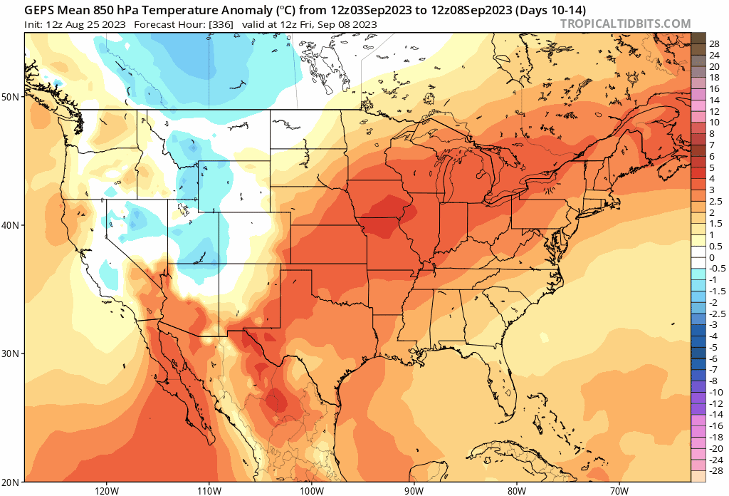
2 hours ago, forkyfork said:
it's funny how I post 5 day ensemble means showing extreme warmth across more than half the country and people interpret it as one day of 90
i live in nyc what happens outside my bubble means little to me..
-
1
-
-
2 hours ago, forkyfork said:
canadian ensemble trending in that direction

mid 80's wow how will i ever be able to take the heat..
-
1
-
1
-
-
42 minutes ago, Stormlover74 said:
It could but probably weaken to a 3 at landfall
probably will continue to get stronger up to landfall..in those hot gulf temps.
-
21 minutes ago, SnoSki14 said:
I think there are much more negative factors than with previous storms. A lot of dry air and shear present and it won't ever get fully favorable.
Plus time will be a factor. I don't think warm SSTs alone will do it.
I don't expect more than a Cat 2 at landfall.
Over the Gulf of Mexico, the environment is forecast to become
conducive for significant strengthening of Idalia due to a new
trough dropping south over the western Gulf of Mexico as a
upper-level ridge builds near the cyclone.  Additionally, Idalia
will be moving over waters near 31C, and some of the guidance is
even indicating favorable jet dynamics on Wednesday with Idalia in
the right-rear quadrant of the jet over the southeastern United
States.  The bottom line is that rapid intensification is becoming
increasingly likely before landfall, and the NHC forecast now
explicitly indicates it between 24-48 h in the forecast.  This is
consistent with almost all of the regional hurricane models and the
SHIPS rapid intensification indices, which are 5-10 times the
climatological mean.  The new prediction shows a 100-kt hurricane
over the eastern Gulf of Mexico at 48 hours, but Idalia should keep
strengthening up to landfall along the Gulf coast of Florida.
Interests within the storm surge and hurricane watch areas are urged
to prepare for possible significant impacts and monitor future
updates to the forecast for this increasingly dangerous situation.
-
hurricane delta went from a tropical depression to a cat 4 in less then 24 hours so anything is possible.
-
 2
2
-
2
-
-
seeing a couple of cicada on my window screens i keep poking them away form the inside
-
1 hour ago, Stormlover74 said:
Labor day weekend heatwave on the euro
and according to accuweather 45 day forecast by oct 06 highs temps only around 60 for nyc..
-
2 hours ago, uofmiami said:
When this is inside 120hrs let me know. Seen too much long range heat fade away this summer. Can still see highest temps will be to our west as has been the theme all summer.
his last gasp for summer..
-
2
-
-
loving all the troughs summer is ending..
-
6
-
-
this is what humidity feels like i almost had forgotten after a few low dewpoint days..
-
last 2 nights were not as cool as was predicted for the city..
-
Oh, what a beautiful mornin'
Oh, what a beautiful day
I've got a beautiful feelin'
Everything's goin' my wayOh, what a beautiful day-
1
-
September 2023
in New York City Metro
Posted
actually not a bad day for the city quite tolerable i expected much worse...