

HighStakes
-
Posts
4,111 -
Joined
-
Last visited
Content Type
Profiles
Blogs
Forums
American Weather
Media Demo
Store
Gallery
Posts posted by HighStakes
-
-
5 minutes ago, 87storms said:
Jahmir Young is legit. Might struggle to make an nba roster bc he’s undersized and the league is stacked, but he’d prob make good money overseas.Nice player, strong physical guard. To bad the Terps lost Hakim Hart to Villanova. I think he's the difference between this year and last so far. He wasn't a great player but he has great length and was versatile with experience
-
 1
1
-
-
1 minute ago, nj2va said:
What year was it that the pattern flipped in early January with an event that kicked off a heater for the rest of the winter? 2015?
Kinda feels like we are heading that way (different patterns yadda yadda).

Maybe you're thinking 2014.
2015 as all backloaded didn't get going until the arctic front and heavy squall around Valentine's day.
-
3
-
-
25 minutes ago, psuhoffman said:
Does it make you feel any better to know it probably would have been snow 50 years ago? I wonder if in the future weather weenies will track “storms that used to be snow”.
It's really frustrating. This type of system is supposed to be an easy 3-6 inches with temps between 30-32 and we just can't get there on any marginal event.
-
37 minutes ago, psuhoffman said:
Gfs has a perfect upper and surface low pass on the 29th it’s just about 5 degrees too warm in the boundary layer.
Reminds of storm in December 97. Almost to the exact day. It did snow all day moderately but just could never manage to accumulate well. I lived in Owings Mills/Reisterstown then and maybe totaled 2 inches after many hours of moderate snow. Probably did better out our way but overall a waste of a good storm. Slightly colder would've produced 4-6.
-
1
-
-
1 minute ago, Chris78 said:
The icon did take my snow away at 18z

It's ok! Maestro was already out.
-
 2
2
-
-
5 minutes ago, Chris78 said:
If we somehow get snowed on again next week we may have something cooking this winter. Pretty rough pattern overall so maybe we have some WDI going on.
Wait a minute. You must not have heard. It's a "thread the needle" type deal. You would be crazy to think it could snow twice in December almost within a week. December is the new September.
-
2
-
-
19 minutes ago, psuhoffman said:
This was another case where there was a visible difference between my house and Ebb Valley when I dropped the kids off. Not as pronounced as Dec 2020 when I had 3” up here and only a coating down there but it was about 1” difference. ~250 ft additional elevation makes a difference in these super marginal events.
I remember that December 2020 small event. That was by far the biggest difference for a marginal event. Then we had that nice storm a couple days later.
Last night was a good start and was close to being a really good storm. If we were able to get into some decent rates earlier and the precip didn't move out quite as fast this would've been a 5-6 inch snow. The flip was right on time and we got colder than modeled at its height.
-
3
-
-
18 minutes ago, TSSN+ said:
Snows still holding on here.
Here as well. Even on my south facing front lawn.
-
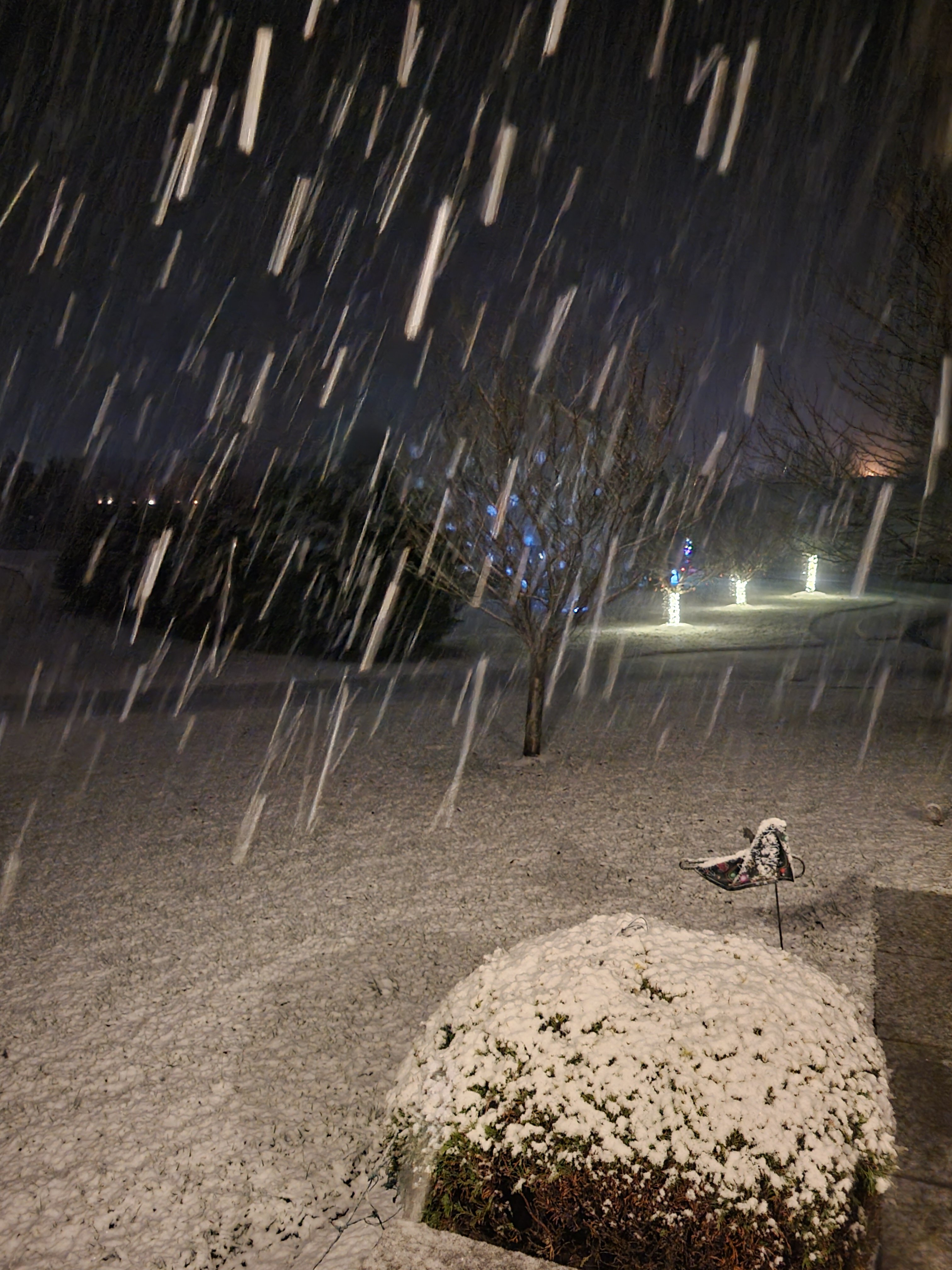
12/11/23: 3.0
-
Looks like 3 for the books. I fell asleep with over 2 on the ground and it snowing heavily at 3:30 a.m. going by the other posters in the area and the one spotter report 3 seems to be the consensus.
-
7
-
-
Heavy snow. Working on 2 inches. 31.
-
7
-
-
-
Moderate/Heavy snow. Everything covered except pavements but they're starting to cave. 32.
-
1
-
-
1 minute ago, Ji said:
Where are you ?About an 1/8 of a mile from PSU. The same place I've been for the last 16 Years I've been posting.

-
4
-
-
Mixing!
-
2
-
-
5 minutes ago, rjvanals said:
Big red flag for me is there’s no real arctic air behind the system. When it’s supposed to have flipped over in the metro it’s 34f in Pittsburgh. That’s not gonna do it imo
Arctic is not required to get a quick burst of snow with this system. When systems like this work out its usually snowing on the tail end with 33-34 temps
-
6
-
 1
1
-
-
6 minutes ago, psuhoffman said:
There was another similar notable storm in April of 2000. Same setup, wave developed long a strong cold front after a lot of rain. I think that one dropped 2-3" in this area...was like 6-12" up in northeast PA up through NY State.
Yes, I remember that one well. Just a dusting in Reisterstown. Philly got 4. Also March 2005 although that one had legit arctic cold behind the front. This area got a solid 4-6. These events arent witnessed annually but they do occur a little more often than most think and they do produce with the caveat that our area is much more favorable.
-
13 minutes ago, psuhoffman said:
If my memory is correct it was on a Saturday, I think around the 10th or something... I had a soccer game earlier that day and it was like 65 degrees...then we had some heavy rain in the afternoon which turned to snow in the evening. I got about an inch in Herndon VA. Places NW got a bit more. It was a wave along a cold front.
There was another storm a few days later around Veterans Day that was a more typical coastal but simply too warm for snow. It was a miserable cold rain that mixed with snow at times in Northern VA, I think places like where I am now got some accumulation and were snow/ice from that storm also.
It was definitely a Saturday.
-
1
-
-
53 minutes ago, psuhoffman said:
The synoptic setup here reminds me a little of a storm in November 1995.
I was think the same thing. Coincidentally there was a similar event to November 1995 just 8 months earlier in March of 1995. Strong front where the cold air rushed in just in time to catch up with the heavy precip. Heavy rain quickly changed to heavy snow for about 2 hours before it shut off. I was out that evening and when I arrived at my destination around 6-6:30 it was torrential rains and temps well into the 50's if not higher. When I walked out side 3-4 hours later it was snowing lightly with temps 32-34. 2-3 inches was on the car and ground. Roads were bad too and that was in lower Pikesville near the city line. This event is never brought up or remembered. Really unique to have 2 very unusual events in the same year especially since they occurred in early Spring and Fall respectively. Both events were well forecasted for heavy rain and rapidly falling temps behind the fronts with exception of no mention of a chance for a change to accumulating snow which came as surprise to everyone.
-
1
-
-
2 minutes ago, CAPE said:
That's odd because I tracked that threat from so far out I wasn't going to miss any of it. First time I looked out and saw precip falling it was snow and 32, and an hour before it wasn't doing anything. May have been a mix at the beginning. Precip was heavier to the south and east so maybe it took a bit longer to cool the lower levels up your way. Most of that storm temps were in the 20s here.
Complete whiff here. Not even a single flake that I can recall just cloudy and very cold. I think Reisterstown was the cut off. Maybe an inch or 2 down there.
-
2
-
-
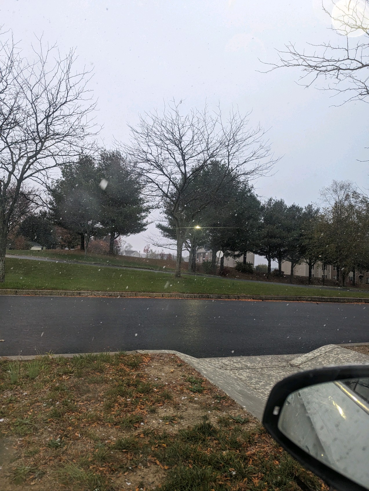
Nice snow shower going on at the moment.
-
2
-
-
BWI: 32.6.
DCA: 20.7
IAD: 34.2
RIC: 14.7
Tiebreaker SBY: 12.7
-
2
-
-
-
1 hour ago, Maestrobjwa said:
So you can still have wet snow even with teens?
I'm not sure what you mean. 2003 was not a wet snow. Even when it changed to sleet it was still very cold. Temps did warm into Monday morning and it all ended as a final burst of snow. It did warm after the storm and another small feature caused light snow overnight Monday into Tuesday and that was heavier wetter snow.
December Banter 2023
in Mid Atlantic
Posted
And please don't let it be a 70 degree January day like the 2 other times we lost to the Colts in 2006 and Tennessee in 2019.