Radtechwxman
-
Posts
2,099 -
Joined
-
Last visited
Content Type
Profiles
Blogs
Forums
American Weather
Media Demo
Store
Gallery
Everything posted by Radtechwxman
-
You always seem to luck out with every storm. Lol. QC area looks to get in on some intense repetitive banding
-
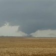
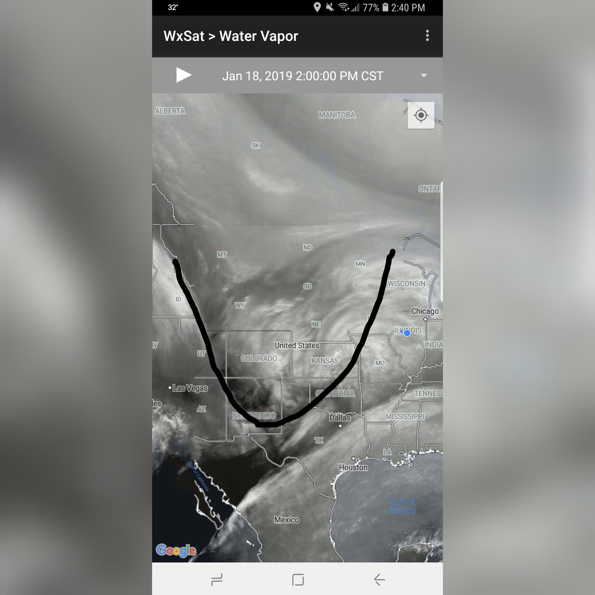
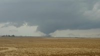
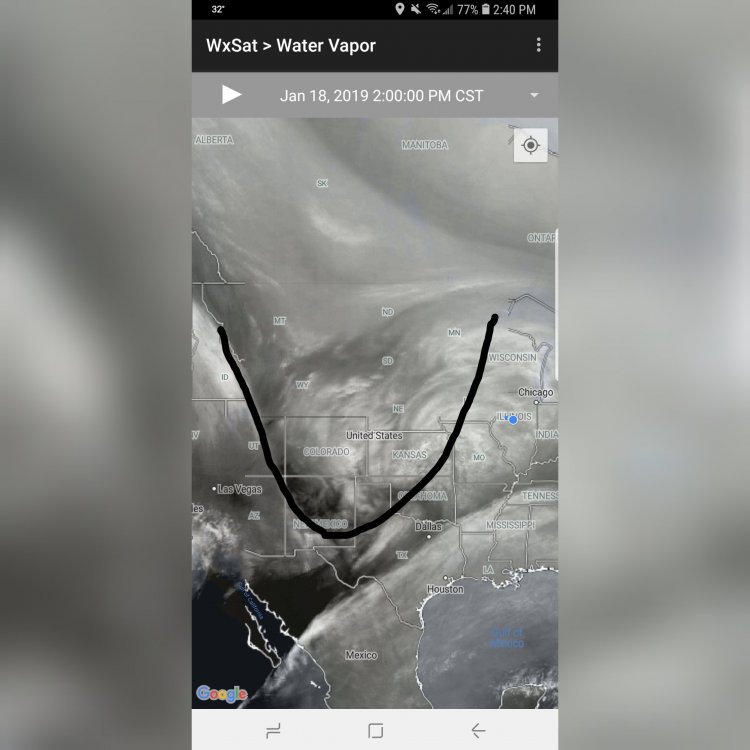
Looking at water vapor imagery appears the trough is fairly neutral right now. Maybe could end up more north? We shall see
-
Where did you see that? My grids still showing in the 30's
-
Well you all enjoy your winter storm, if it can even be called that outside the fgen band. Lol. Every single model has me in a doughnut hole of lower totals. I'm either in for a big surprise or very little snow. Hoping this thing trends stronger and more north but I have very little confidence in that
-
You're lucky. You should see a decent event. Every single model has me in the snow void between the two more intense bands. I'm thinking 2-4in more so for Peoria now
-
That's pretty much the legacy of this storm for us Midwest folks
-
Only good thing about models looking a mess is if it does trend up as it approaches it will feel like we're winning the lottery. Ha
-
My exact thoughts. Very strange system. We are either in for a big surprise or the biggest bust ever
-
Weird because it shows decent banding here but totals are paltry. Wonder if models have ratios too low. I honestly am at a loss for words
-
We can only pray. End this madness. Lol
-
Forecasting nightmare. Except for you guys in that fgen band. It's strange though how higher totals are lining up with stronger banding signals on hi res models
-
Well this was unexpected. Lol. What a forecast nightmare. Sfc low track very noticeably south on 0z runs this far
-
Like bad feeling it will underperform or that models are underestimating its potential?
-
I was noticing that. If 0z hrrr is right a lot of locations are going to underperform
-
Fgen band is going to be way north. We are depending on deformation band snows. Nearly all models have this screw zone in between the deformation band and fgen band with lower totals. We shall see if that improves in time
-
It def isn't a dry air issue because there is widespread snow. Def some kind of forcing. But usually just south or north of an intense band is where you would see any subsidence. That's a large swath of weaker totals
-
I just saw that I'm not sure I still believe a screw hole to be that large with this but concerning it shows one similar to euro. Guess only time can tell
-
Am calm. Just making a statement. They almost always are last to issue. Meanwhile rap and hrrr continue to look quite amped with this
-
Never have understood why the ILX office is the last to issue any headlines. Even if things change you can downgrade your headline and make changes
-
I agree that there will likely be a screw hole somewhere with subsidence in between intense bands but one as large as Euro no way. I think FV3 had a more realistic portrayal of it
-
The screw hole on euro is laughable. I mean I can see a lull between the fgen band and the heavier band of deformation zone but one that large no. Just comical it has the lowest qpf bullseyed over me
-
Love how euro has a stripe of heavy snow near WI-IL border and then one north of I70 with a massive donut hole of much lower totals in between. Going to go with a no on that. These globals are really messed up
-
Yea models are keeping the extreme cold bottled up further north though. Keeping the polar vortex stronger and more in tact
-
Might have leading edge sampled. But the core of it is still offshore. 0z will be full sampling
-
Literally was just thinking that. It under estimated northern fringe of accumulating snow and only had like 5-7in here when 10-13in fell