

Birds~69
-
Posts
30,144 -
Joined
-
Last visited
Content Type
Profiles
Blogs
Forums
American Weather
Media Demo
Store
Gallery
Posts posted by Birds~69
-
-
34 minutes ago, RedSky said:
Wind advisory has been beefed up to 50-55mph it's really gonna blow
Some squalls starting to pop up...would be cool w/those winds.
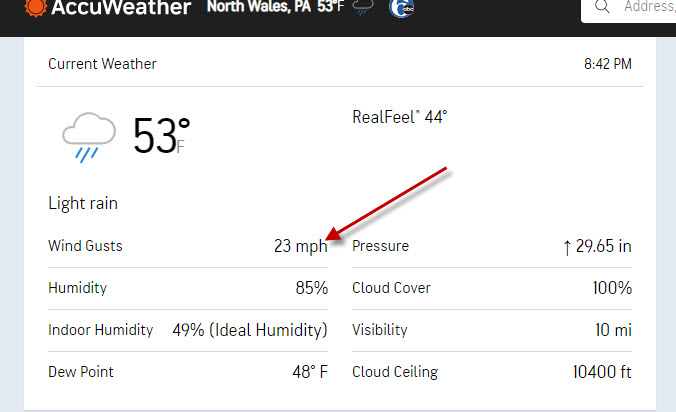
41F
-
7 minutes ago, JTA66 said:
I saw a flurry, so I guess the long awaited pattern change is finally underway.
44F
Looks like stuff coming our way...definitely breezy.
42F

-
Weird day, Clouds....then Sun off and on....windy.
43F
-
7 minutes ago, Ralph Wiggum said:
And like that big flakes mixing in with the sleet, 30% snow, 70% sleet. 39F temp dropped 2 degrees in 4 minites. Sunshine off in the distance.
Nothing here....clouds rolled in, gusty.
45F
-
Squirrels (many), birds and geese on my friendly Sunday walk/trip to Wawa...winds should kick in shortly.
43F
-
38 minutes ago, KamuSnow said:
2.24" here, more than I expected. Starting to dry out now, breeze out of the west, temp dropping a bit.
Way more than I expected. Thought about 1"...nice winds.
43F
-
Yep. Took down the window candles....winds be a blowing.
43F
-
Steady rain w/a batch moving through...
45F
-
Our friend, Mr. rain, moving up...
48F
-
59F at 6:30pm
Very excited about the clouds and rain this upcoming week...
-
2 minutes ago, RedSky said:
1" in the bucket and one down with like five more storms to go over the next ten days.
Grass will be 1ft tall in no time and super green early this year....twice a week mowing.
49F/light-mod rain
-
It will be too warm regardless of the track IMO...
46F/Back edge of the rain not too far away
-
Largest fire in Texas history still roaring rather impressive as well...
-
Tomorrow and just about all next week looks to be a cloudy/rain at times mess...sounds good.
42F
-
2 minutes ago, Hurricane Agnes said:
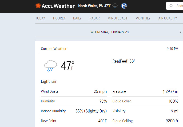
Drier air coming in now. Temp at 47 with dp 38.
Pretty good on whatever happens....temps have sunk/winds.
-
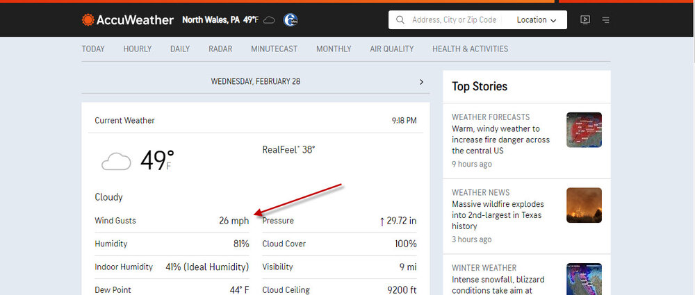
1 minute ago, Hurricane Agnes said:
Cooler air now filtering in. Am down to 48 and falling. Have 0.31" in the bucket (0.40" 2-day), with some light rain with some kite-flying winds!

It's kicking! Nice gust.....40s
-
2 minutes ago, Hurricane Agnes said:
Finally heard something akin to a gust front come through, but the rain has been pretty minimal. Before the latest round, I had 0.23" (+ 0.09" from yesterday for 2-day 0.32). Currently have 0.29" in the bucket for today with some light rain.
Temp is currently 53 with dp 50, so the colder air hasn't arrived yet.
Sit on the front...it's a blast! Gusty.
-
 1
1
-
-
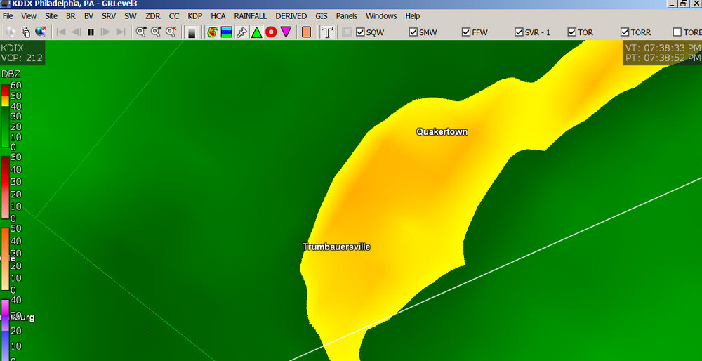
Bum knee....feels great out here....easilly 30+. Stuff rip-roaring down the road..
-
19 minutes ago, RedSky said:
In other news it's windy I want to hear some roars with the cold advection
Starting to kick here....
-
4 minutes ago, JTA66 said:
Seeing flashes, looks like a transformer a few streets over blew.
That's a positive, DE looks like the line.

-
1 minute ago, RedSky said:
Straight wind or something it was blinding for 3 or 4 minutes.
God Bless.
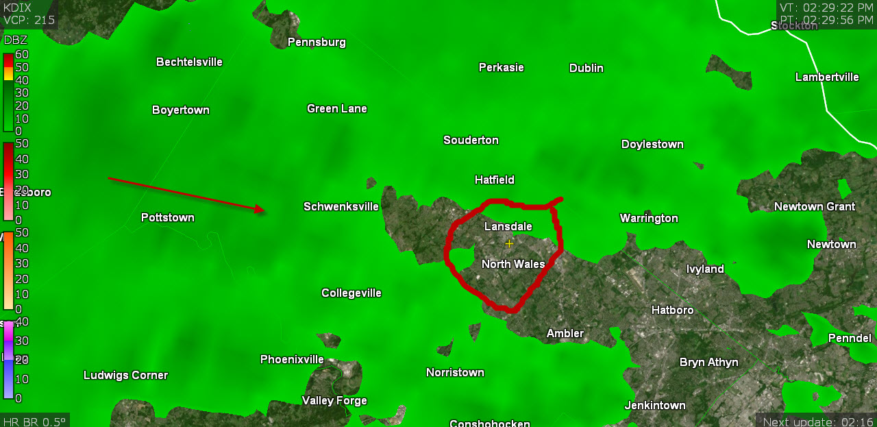
Something may roll through here shortly...thinking this stuff may hit JCT or myself?
Thinking some of this stuff hits JCT or myself....winds have picked up.

-
8 minutes ago, RedSky said:
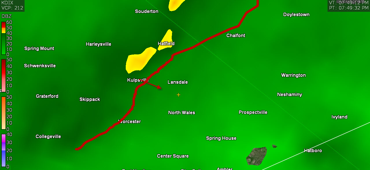
Ripping through here now low visibility heard a tree crash across the street
You got drilled pretty good....storms of course.
-
1
-
-
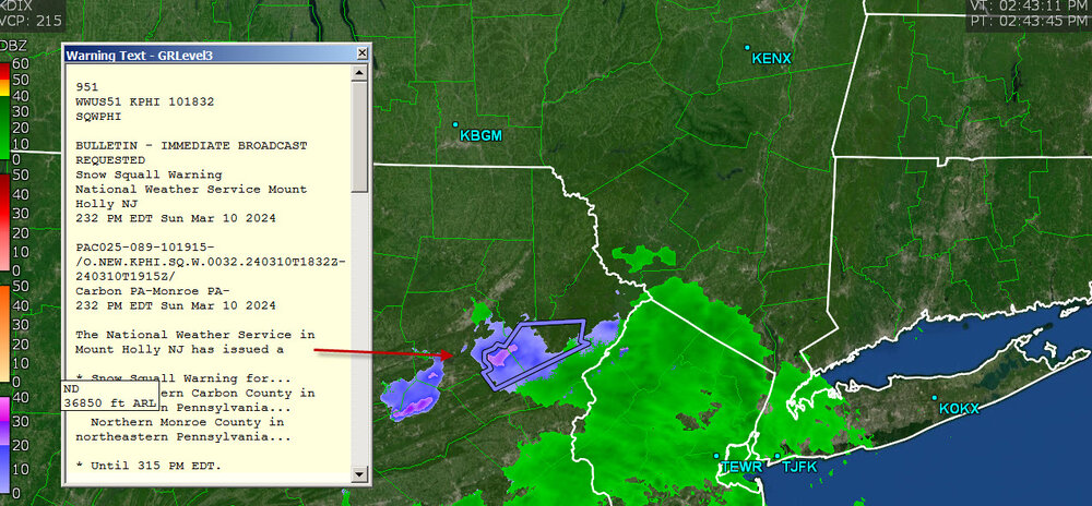
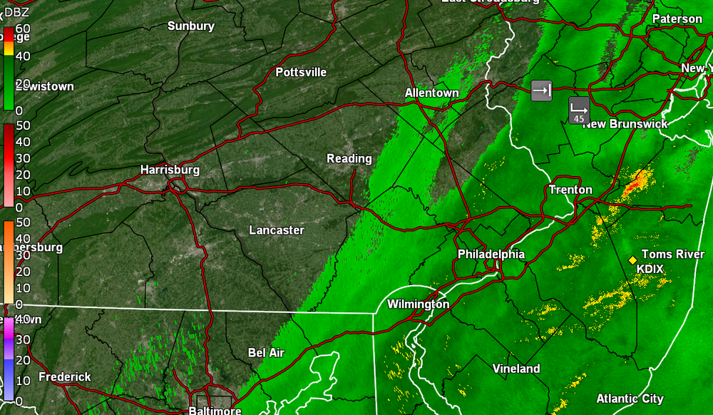
...WIND ADVISORY REMAINS IN EFFECT UNTIL 4 AM EST THURSDAY...

* WHAT...West winds 20 to 30 mph with gusts 40 to 50 mph
expected.

* WHERE...Portions of northern Delaware, central, northern,
northwest and southern New Jersey and east central, northeast
and southeast Pennsylvania.

* WHEN...Until 4 AM EST Thursday.

* IMPACTS...Gusty winds could blow around unsecured objects.
Tree limbs could be blown down and a few power outages may
result.
Trash cans....definitely some colder stuff/winds.
-
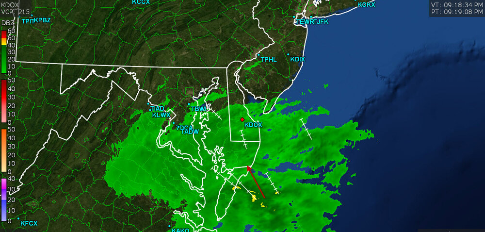
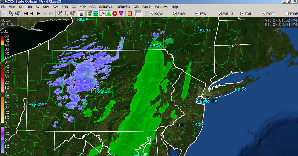
1 hour ago, Roger Smith said:
Developing squall line not intense at moment, runs Utica-Bingamton-wCXY. Will be near PA-NJ border by 7-8 pm.
There may be an arctic front about an hour behind it then temps will really begin to fall fast.
Pitt 38F, Erie 30F w/wind....


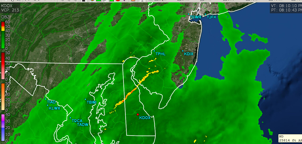


E PA/NJ/DE Spring 2024 OBS/Discussion
in Philadelphia Region
Posted
You have a batch....sunny here.