wxmanmitch
-
Posts
2,087 -
Joined
-
Last visited
Content Type
Profiles
Blogs
Forums
American Weather
Media Demo
Store
Gallery
Everything posted by wxmanmitch
-
32.4° F with light snow. No accumulation.
-
Where was this in the winter, dammit!? It's been pouring upslope rain since about 12 noon with ~0.6" through my tipper since then. Rainfall rates have reached 0.25" per hour at times. Down to 39.8° F so it's getting closer...
-
It doesn't go NE until above 500 mb and low level winds are robust, so I suspect blocking will be minimal. NAM has a pronounced inversion near 850 mb (HRRR a bit less so), which is above mountain top level so I expect snow will make it over the spine a bit with the heaviest near the crest. Typically an inversion near or below 900 mb will result in a more blocked flow whereas unblocked flow will have a higher inversion or none at all.
-
Sound like my place every year around Memorial Day...
-
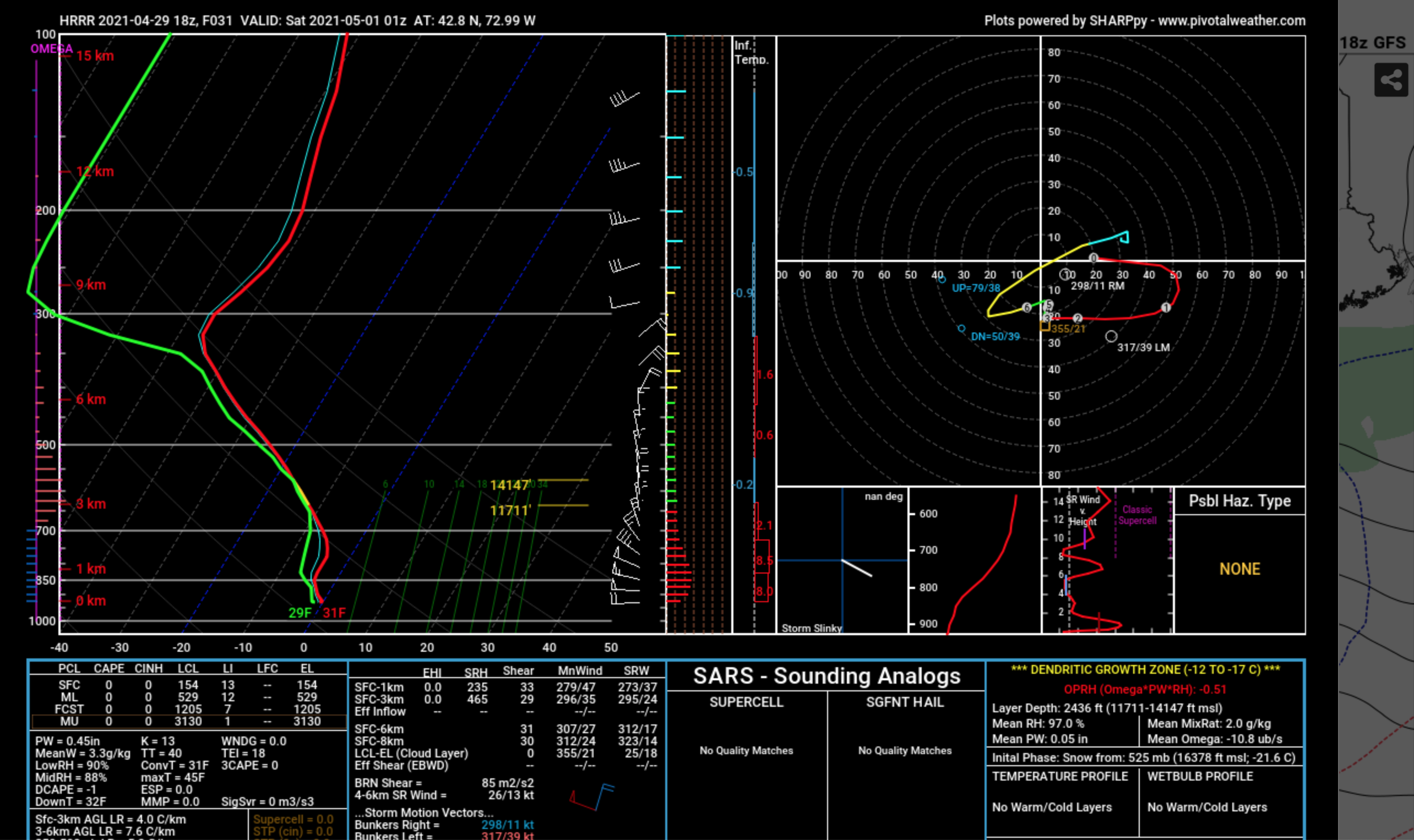
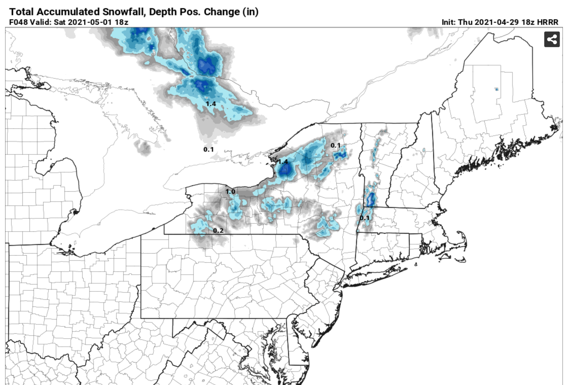
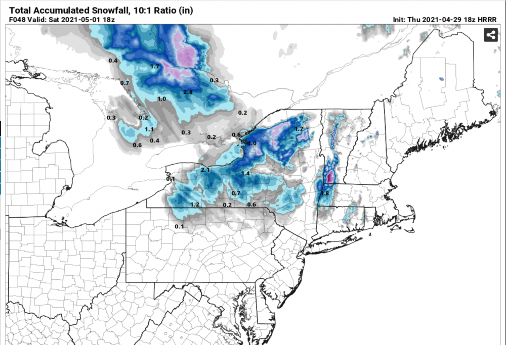
Just when I thought I was done, the models (18z HRRR shown) offer up some considerable flakeage here tomorrow night. A potent inverted trough rotating in from the N, along with a strong cross barrier flow and a veering wind profile (W at surface to NE aloft) could result in some significant upslope rippage along the spine of the Greens. I suspect it'll be rain here before going to non-accumulating snow and then to sticking snow that yields up to 2-3" of accumulation on grassy surfaces as the temperatures drop. The summits of Mt. Snow and Stratton could walk away with 6-10" if trends hold.

-
137.4" here at 2,230' elevation 5 miles NW of Readsboro, VT (or 5 miles SE of Woodford).
-
What hotel did you stay at? No where near that much here with 8.5". I was skunked last night too which is why I didn't get more than 8.5". Meh snowfall rates even though it was cold enough to efficiently accumulate. It's been snowing all day at varying intensities, but it's been "treadmill" snow: snowing fast enough to not lose snow to compaction and melting, but too slow for much of a net gain during the day. We are gaining a little now with this narrow band on top of me right now though as we've lost a lot of the solar insolation.
-
6.8" as of 30 minutes ago. 31.8° F. Snowfall rates were mostly rather meh overnight and earlier this morning, but has picked up in the past 20 minutes.
-
30.9° F with 2.9" down. Moderate snow with decent snow growth.
-
32.1° F and snow. Ground is coated white with about 1/4-1/2" accumulation.
-
It's go time! The changeover to snow has begun after an inch of rain. Parachutes mixing in. 35.7° F and dropping.
-
Today is eerily similar to the days leading up to the April Fools 1997 storm: sunny and 61° F with some puffy cumulus clouds. Hard to believe I may be digging out from 1-2' of snow within 48 hours. Clown maps are overdone, especially in the valleys, but up here above 2.2K they may not be so far fetched...
-
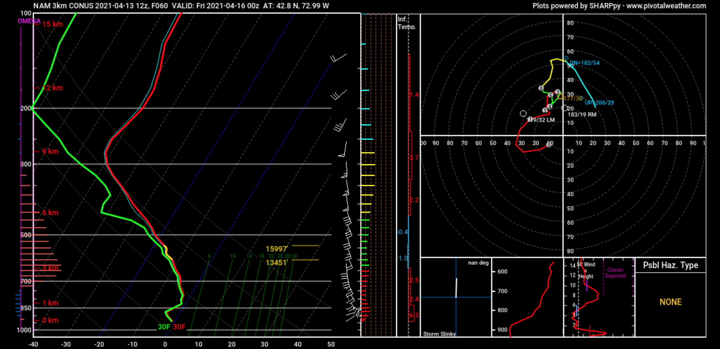
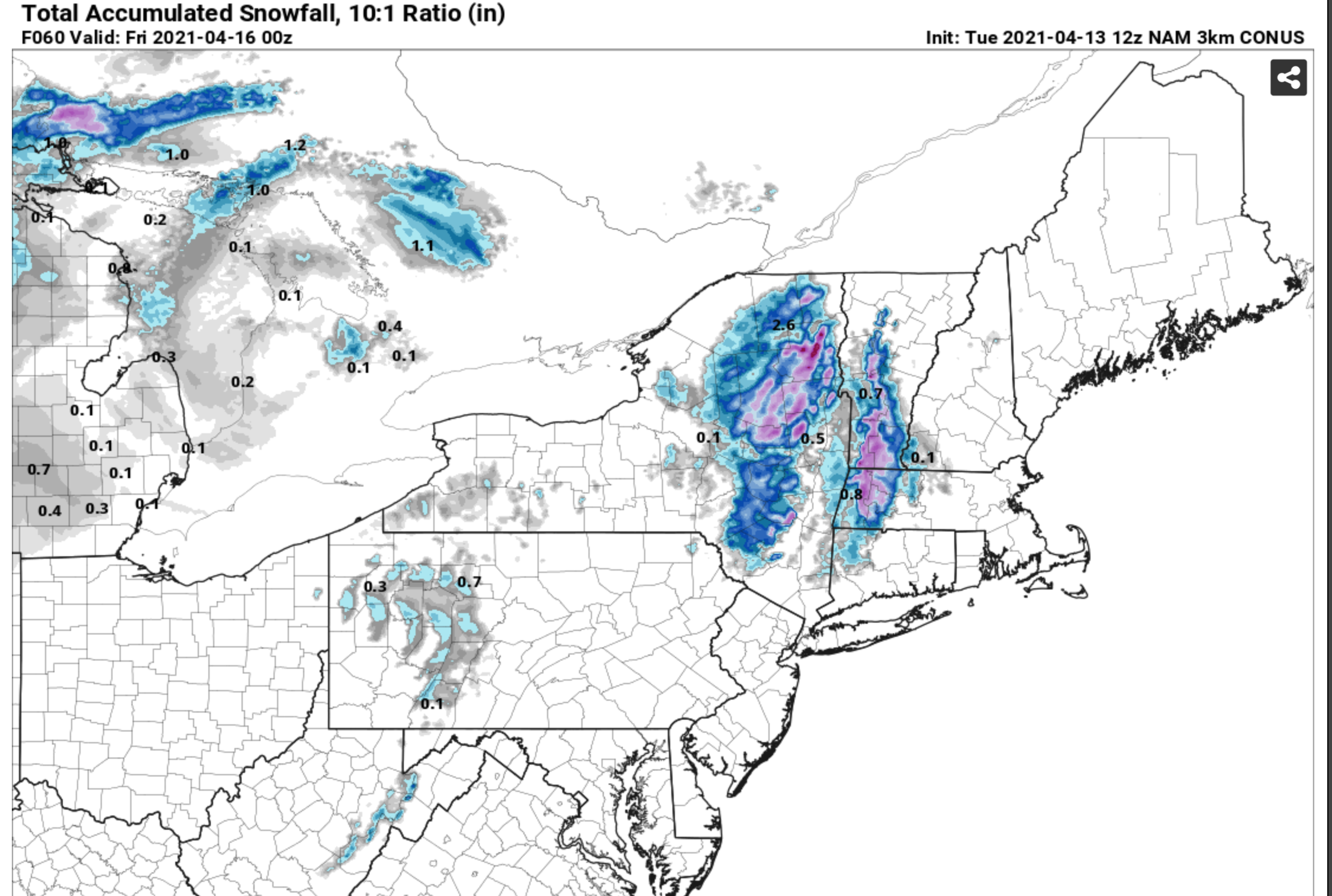
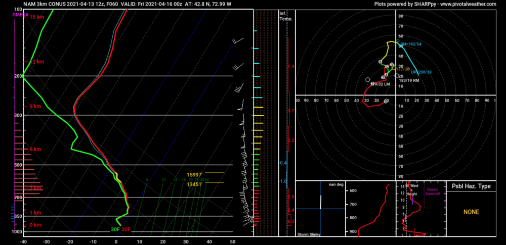
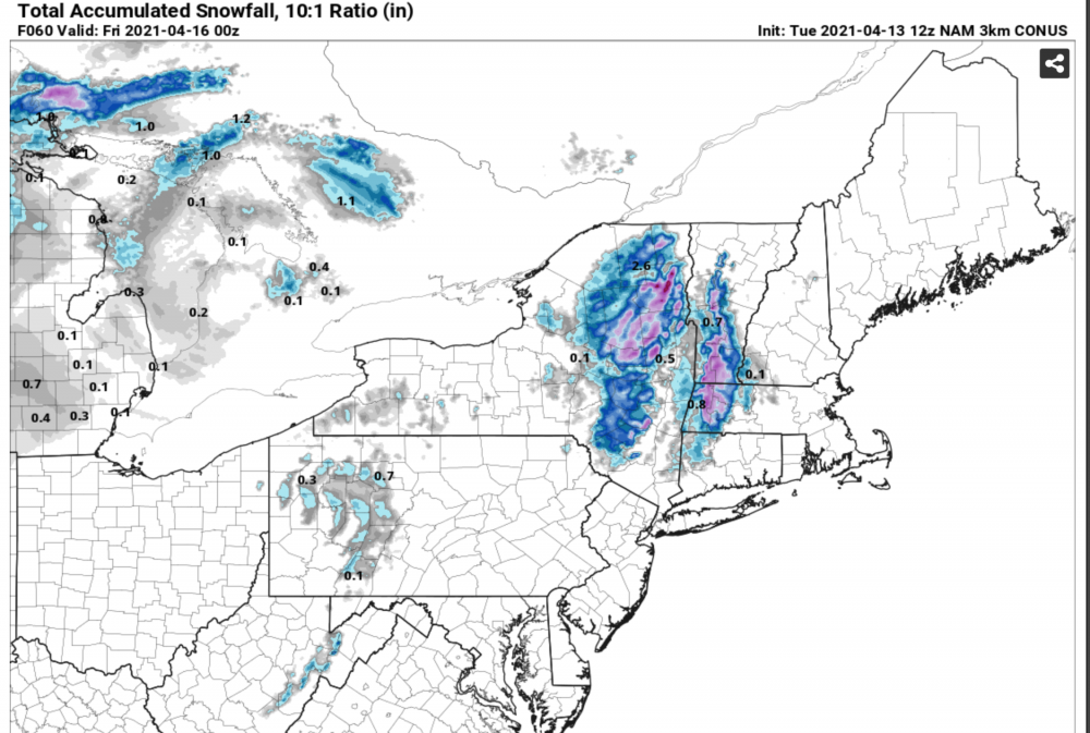
A birch bending, maple mauling, balsam fir snapping snowstorm looks like an increasing probability here. It'll be interesting to see how this trends with the high res guidance as we get closer. 12z 3-km NAM already has 8-12" of 10:1 snow here by the end of its run and it's just getting started! That snow will accumulate efficiently here above 2K with subfreezing low levels and good lift in the DGZ by 00z Friday.
-

With a last gasp effort, winter 20-21 refuses to give up the ghost
wxmanmitch replied to moneypitmike's topic in New England
I'm at 126.7" so far for the winter. Although I have no way of knowing for sure because of limited to no climatological data around here, I was probably running a bit above average to date as of my birthday back on 2/22. I've had about 2" since then. Without anymore appreciable snow, I will likely finish the winter a bit below normal (assuming a 140-150" per year average). Alas, this winter is like that senior in high school that comes down with "senioritis" and slacks off too early, thereby dropping from a B/B+ season to a D+/C- season. -
With a last gasp effort, winter 20-21 refuses to give up the ghost
wxmanmitch replied to moneypitmike's topic in New England
34° F and rain, and the models have shaved off both QPF and backside snow. Just awful! This March has been worse than watching paint dry. I always come into March with high expectations and visions of slow moving cutoff nor'easters that dump feet of snow in the elevated interior, and this one has been one of the biggest let downs ever. I've had an inch of snow in what can be an extremely snowy month, and is typically at least moderately snowy. What a total let down after what has been a decent winter that performed better than I had anticipated. -
Wow...what a difference over there. Had a high of 56° F, now back to 50° F. I'm actually cooler than the summits of Mt. Snow, Stratton, Haystack and Equinox right now thanks to my 20-24" snow pack keeping things cool. It's amazing how these shady spruce/fir stands can keep things cool, especially at this time of year.
-
Cored my 27" snow pack and came up with 7.8" of LE. Season total stands at 126.6", which is likely close to average to date. I was running a bit above, but I've had only an inch so far this month.
-
1.2" of wet sleet on top of the 0.7" of snow from yesterday. Only about a tenth of an inch of ice accretion, so we definitely dodged a bullet.
-
-SN, 25.2° F. 0.7" of snow today, but it's that type of snow that's on the verge of sleet with some aggregation and high fall velocities evident. There's a warm layer up there that's probably just barely above freezing and is not warm or thick enough to melt the flakes yet. Anyway, not looking forward to the sh** show that's arriving here by midnight. Hopefully I'll get more of my QPF as sleet than freezing rain, but the NAM is about 0.8" QPF freezing rain, HRRR about 0.5".
-
Seems a bit high. Maybe they had better snow growth, but the radar didn't look all that different there. The west slope of the Berkshires did better because of the blocked SW flow. One of my Twitter followers said 6-7" in Dalton, MA.
-
3.7" with 0.37" LE. An exact 10 to 1 SLR! How often does that work out? Snow growth was not good today...just small flakes with a fine, white sand consistency. Snow depth at the stake is an even 30".
-
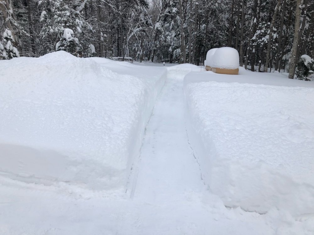
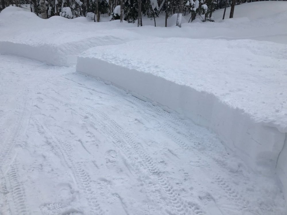
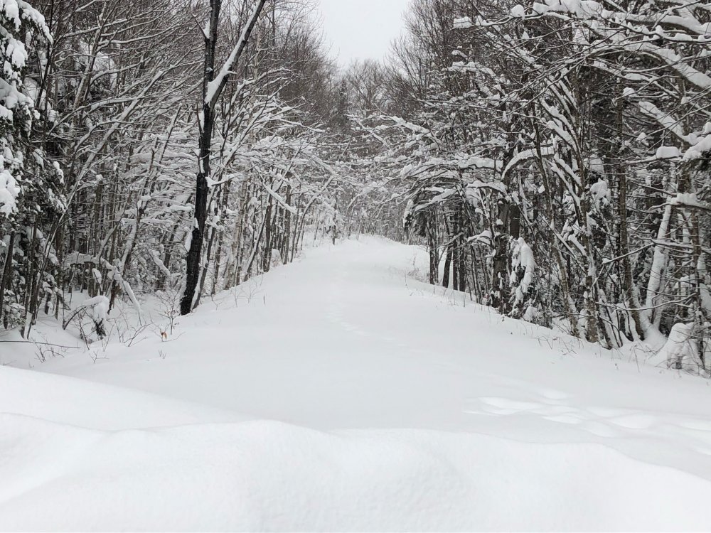
Deep, deep winter. 25-26" OTG. My famous snow blower cuts are back. 3.0" new in the past 24 hours with 33.6" in the past week.
-
January 16 2021 - Inland runner Rain/Snow/Wind
wxmanmitch replied to Baroclinic Zone's topic in New England
It's pretty much the same as the aforementioned area in Woodford. Mt. Snow doesn't get as much of the W to NW flow upslope as Woodford or Searsburg Pass. -
January 16 2021 - Inland runner Rain/Snow/Wind
wxmanmitch replied to Baroclinic Zone's topic in New England
The best snow is usually a bit east of the crest, which on VT-9 is just east of where that pond is on the left if heading eastbound. Woodford State Park over toward the VT-8 junction in Searsburg is typically where the max zone on VT-9 usually is. I'm on the east slope of a ~3,100' mountain so I get it good here also even though I'm about 5 miles south of VT-9. Anyway, I had another 3.0" overnight and into early this morning on 0.1" liquid making for a 30:1 ratio. 33.6" for the week and a 26" depth. -
January 16 2021 - Inland runner Rain/Snow/Wind
wxmanmitch replied to Baroclinic Zone's topic in New England
This I was not aware of, that would explain it. I'll give her credit for measuring snow and living in such a challenging climate at that age. I was under the assumption it was just some snow nut who isn't aware of proper snow measuring protocol. Anyway, I've probably added a few tenths more since my last measure. Depth is at 25".