

Ericjcrash
-
Posts
5,529 -
Joined
-
Last visited
Content Type
Profiles
Blogs
Forums
American Weather
Media Demo
Store
Gallery
Posts posted by Ericjcrash
-
-
2 minutes ago, WxWatcher007 said:
We take. We wait for more amp at 00z.
Yeah let's pump this baby up
-
 1
1
-
-
2 minutes ago, OceanStWx said:
Capital H hate going with a deterministic snowfall forecast at this range. We know it's going to change, we've shown we have low skill getting amounts right this far out, and we just don't have a lot of data to build that forecast with. I have to think this accidentally slipped out to the winter page. We aren't even required to have QPF this far out, and WPC doesn't even provide the probability information to produce the rest of the graphics on the winter page.
That makes more sense.
-
Just now, weathafella said:
I think the areas in western CT/MA that have nothing are outside of BOX forecast area. Lower CT may be OKX while further north ALY?
Maybe, but odd to have it taper down to nothing instead of a clean cut. Thought those maps were supposed to be within 48 hrs of onset anyway.
-
15 minutes ago, wxsniss said:
Growing confidence from EPS/Euro we see double digits somewhere in SNE, finally get this monkey off our back...
Pike vs. NE MA vs. NH-MA border vs. SE MA jack tbd, but outside 128 belt Foxboro to Fitchburg looks great atm
Opening bid from NWS... seems they are heavily factoring marine influence... the low-res Euro soundings are plenty cold 925 on up, so probably see that gradient closer to coast:

Bizzare map, western mass and CT you get nothing! Shocked they put this out so far in advance.
-
1
-
-
Just now, BoulderWX said:
Focus day by day. They were relatively consistent for 3-4 days. Today we saw a complete reversal as energy gets sampled. Writing on the wall. Not even sure it’s worth roadtripping for this one anymore.
Still all over the place, yeah today it went NW but yesterday went SE. Won't be fully sampled until overnight.
-
I think its time for IBM model weenie maps.
-
1
-
-
1 minute ago, FXWX said:
I've done this a lot of years... this is one of the most challenging / error prone calls I've ever made, not only for the inside 495 area but the western / eastern edges of the CT River Valley area from central CT northward.
It's a disaster forecast for anywhere without elevation.
-
2
-
-
RIP to this thread.
-
2 minutes ago, rgwp96 said:
As precip lightened up I turned to drizzle . 32.7.
Not surprising. Hopefully it picks up and you flake again
-
I just need the NAM to verify.
-
7 hours ago, MegaMike said:
Oh, I know
 . I lived in the Providence area which kinda' sucked too.
I'm in Latham if I had to be exact. Just by the airport. Any recommendations on what to do? I'm still exploring the area.
Originally, I'm from MA, but I've lived in RI, CT, VT, NY, and NC over the past 10 years. It's been a crazy ride!
Latham I don't frequent casually/personally. My company is based out of there so that's my only reason to go down. I can not recommend Grano in Schenectady enough. Best pasta in the world, and I'm from NYC and had pasta all over Italy.
-
7 minutes ago, MegaMike said:
I moved to Albany, NY recently. I'm very tempted to film/experience this event.
Will definitely wait to decide until the mesoscale models are within range (to decide upon a location - more interest near the Buffalo area), but I can see why you're excited for this one.
In my opinion, predicting the occurrence/severity of LES is easy: In a nutshell - big, beautiful LES = cold air associated with a trough (accurate/easy to predict) + long duration/flow along the lake(s) (accurate/easy to predict) + warm lake (easy to observe). Mesoscale models should do a reasonable job here since they perform better with moisture flux and they have a better handle on topographic features (coastline and elevation, for example). Global models will do ok, but you really want NWP with a high resolution to make your forecasts with this one.
In Albany itself? That's rough for snow. But glad to see more people in this area. Where are you from?
-
Just now, BuffaloWeather said:
Thinking 70s from Sat-Mon? Maybe 80 on Monday.

Speak for yourself. Stuck in shit over here lol
-
1
-
 1
1
-
-
32 minutes ago, BGM Blizzard said:
GFS a little east of the NAM & Icon
18z Euro clown?
-
Was quite toasty but has definitely cooled off some with the cloud cover. Van thermo was sitting at 86° for an extended period earlier in Albany.
-
1
-
-
13 hours ago, DeltaT13 said:
How nice would this be!

The front range and Dakotas have amazing springs as well as falls... awesome shorts and T-shirt days to blizzards in the 10's and 20's with no worries of an extended period of shitty 40° rain and overcast.
-
1
-
-
11 hours ago, wolfie09 said:
How low is this area supposed to get? Lol Pulaski max low was -20.. That's most likely computer generated, I don't even know where they are getting the temps to compare..lol

Yeah, Idk. I got down to -16° and they're saying that's 0-2° higher than average lowest min. Seems suspect.
-
1
-
-
Tomorrow getting a little interesting. Possible paste job for some.
-
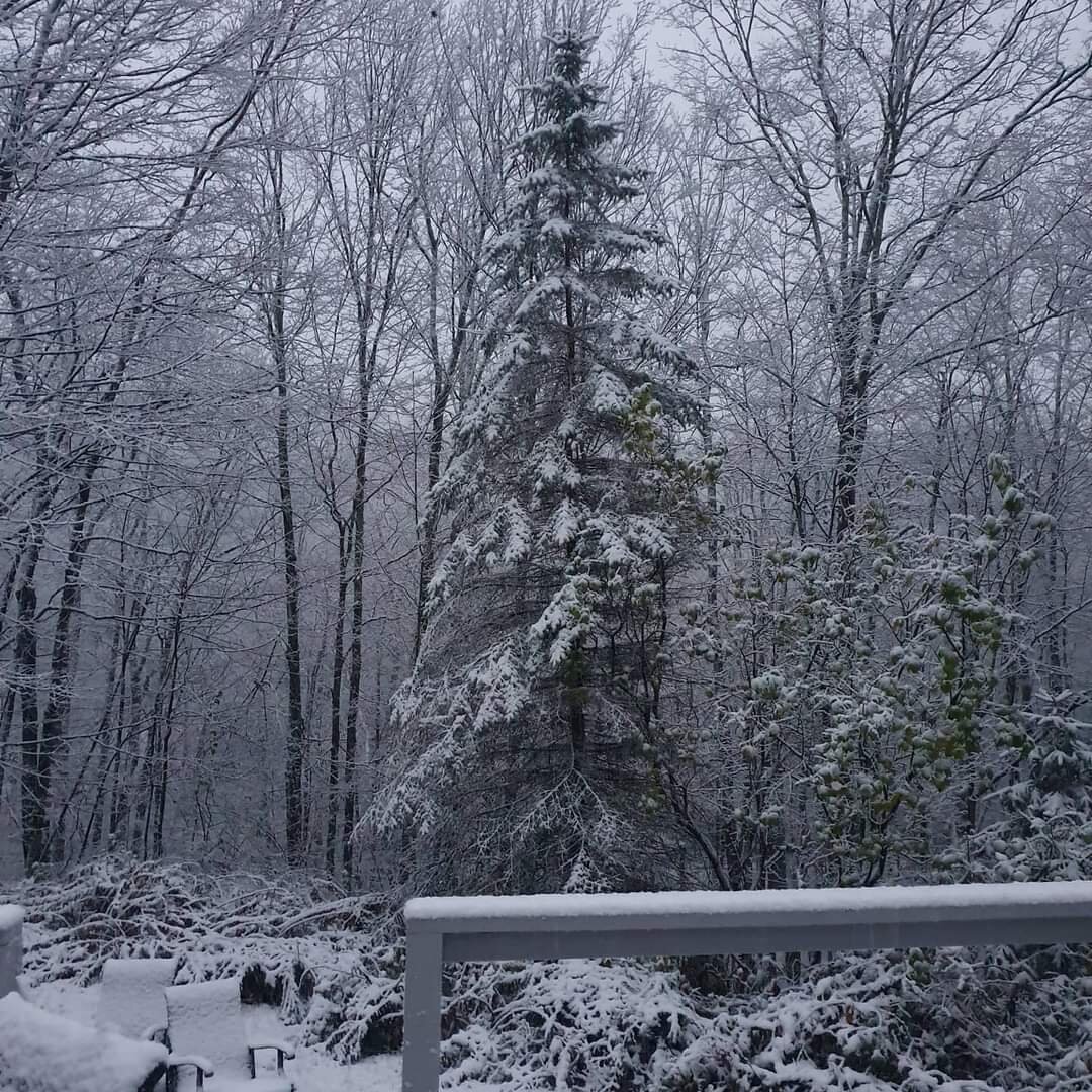
Light white rain mix in Gloversville. Raw shitty day, winds picking up.
-
About to leave Queens to come back home and even here got some shitty flakes and graupel.
-
Just had some mangled flakes and graupel in Maspeth, Queens.
-
Ping ping drip drip
-
1
-
-
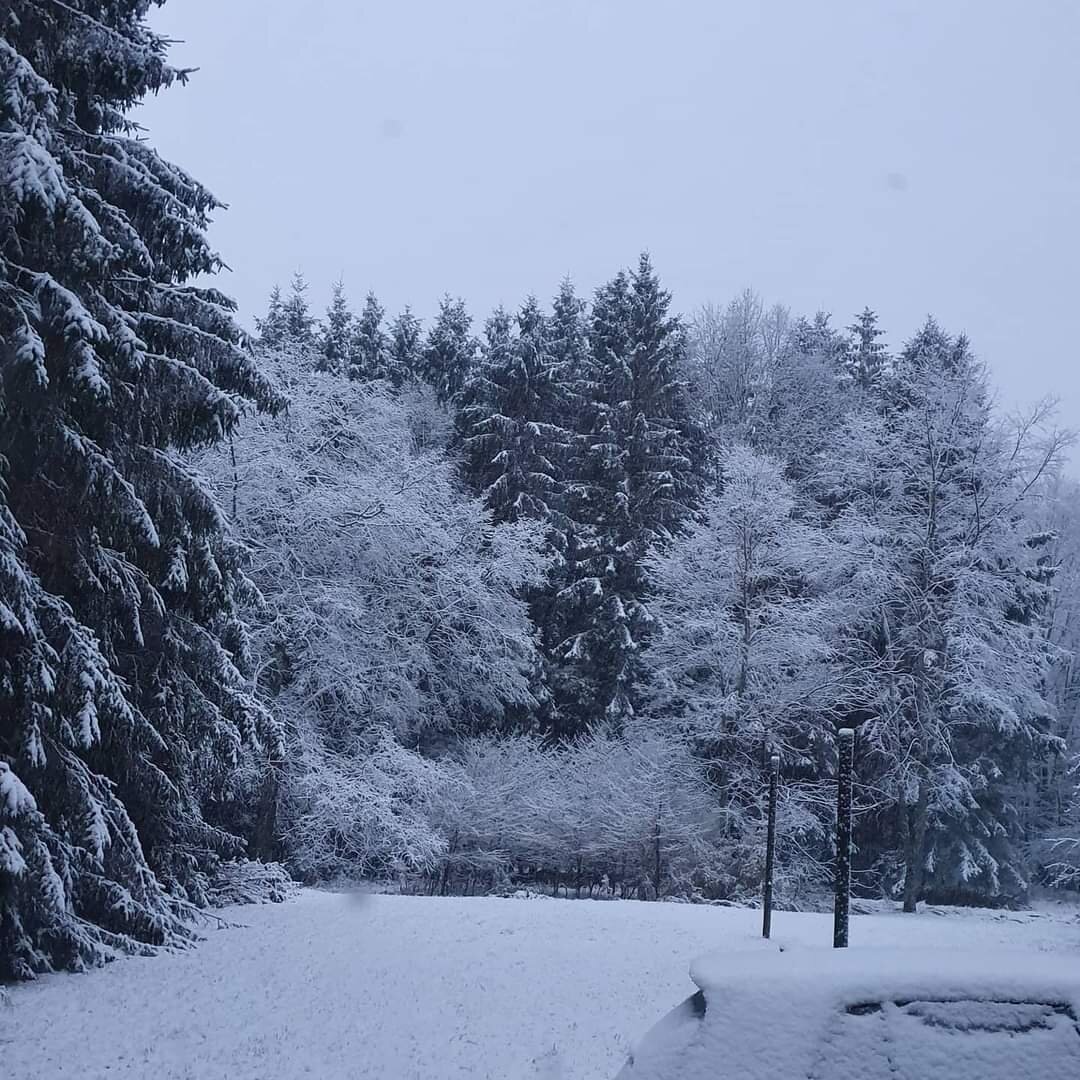
Some serious storms last night, great light show.
-
20 hours ago, TugHillMatt said:
Mid May 2 years ago in the middle of the day:

Oh how I miss elevation.
-
3
-


Monitoring first regional significant winter impact event. Magnitude likely tempered. At this time NE PA/SE NY and SNE primarily. Jan 7/8.
in New England
Posted
Major cave