

SomeguyfromTakomaPark
-
Posts
5,449 -
Joined
-
Last visited
Content Type
Profiles
Blogs
Forums
American Weather
Media Demo
Store
Gallery
Posts posted by SomeguyfromTakomaPark
-
-
18 minutes ago, Scarlet Pimpernel said:
I lived in the Capitol Hill neighborhood in DC for several years in the early 2000s before moving to southern MoCo. I can't say offhand whether the temperatures were much different there compared to DCA; I'd guess not all that much. But in the time I was in that location I know the snow amounts I received were consistently higher than what came out of DCA. Anytime I saw reports from a snow event, those in the District proper likewise tended to be higher; that still is the case (e.g., during the 2016 blizzard I recall seeing several 20"+ reports from the District even as DCA recorded "only" 17.8") I actually found the snow reports from the National Arboretum to be a reasonable compromise amount for DC proper.
I measured 24 inches in petworth during 2016
-
Just now, TSG said:
Definitely not representative of NW DC, but it's fairly accurate for downtown. I lived in Adams Morgan/Woodley Park for 5 years which is only ~2 miles from the WH, and ~175' in extra elevation. I can remember multiple events where downtown was like 90% white rain and north of Florida Ave had a couple inches of accumulation.
The zoo would be a good spot to represent the top half of DC.
-
 1
1
-
-
You can finally see the strong positive 2m temp anomalies drying up at the end of the 6z GEFS. Hopefully by the 2nd week of February we are tracking again.
-
I'm just glad we are not seeing a can kick, GEFS and EPS at the end of their runs are rolling to a better pattern.
-
6
-
-
We need one of those beautiful satellite pics showing the snow cover
-
3
-
-
Def the most winter day in years, 21 degrees with wind and occasional blowing snow.
-
1
-
-
Canaan valley got 20 inches?!?
-
2
-
-
3 minutes ago, WinterWxLuvr said:
Great storm. Models struggled with it though
I’ll tell you what didn’t struggle lol. Whatever model was on fox showing 3-5 when all the good models had dried up, what was that, the GRAF?
-
6
-
-
Dumping under this streamer
-
4
-
-
5 minutes ago, wxmeddler said:
I'm gonna get the shaft between these 2 bands in Silver Spring. I can see the squall out my apartment window to the west by 2 miles.

I think the big one is gonna drop down on silver spring
-
-
3 minutes ago, adelphi_sky said:
If the mountains don't chew them up first. I'd love a little late afternoon action.
It looks like they’ve already cleared the mountains
-
3 minutes ago, CAPE said:
Right at 4". Average of 5.5 snow depth in the yard. Took this when I was out shoveling off the front steps a little while ago. Temp 31.
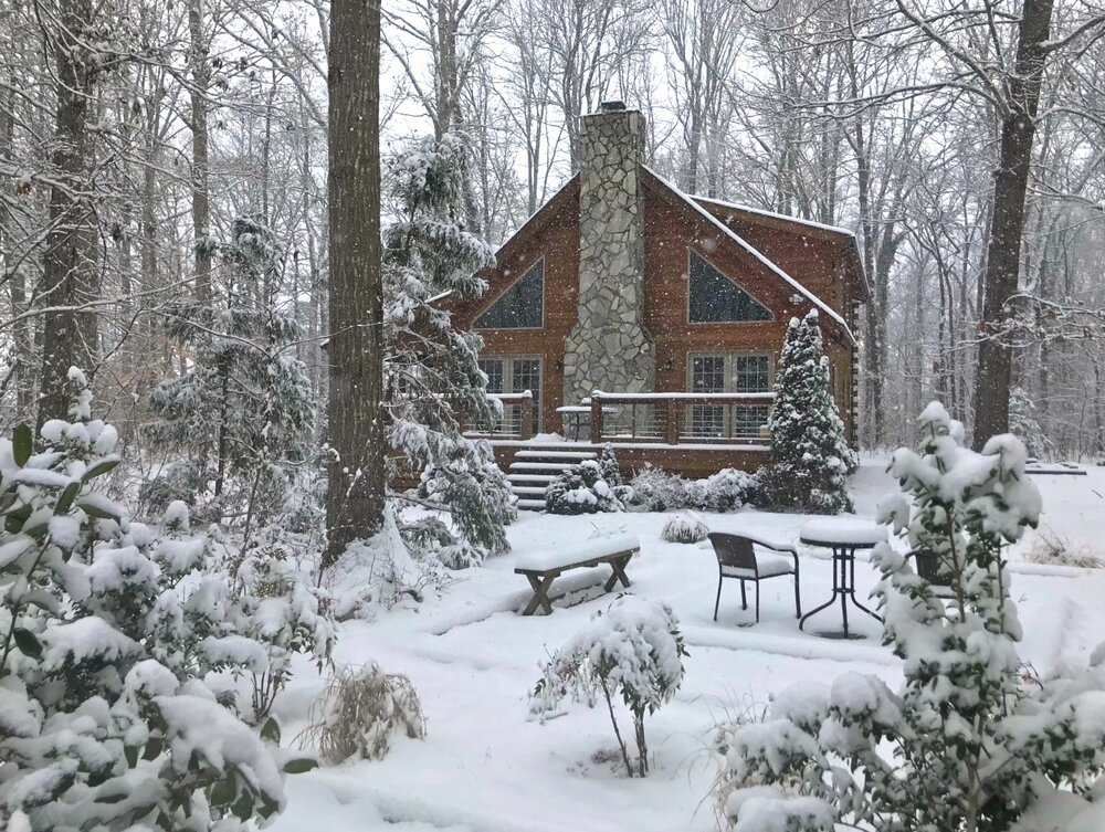
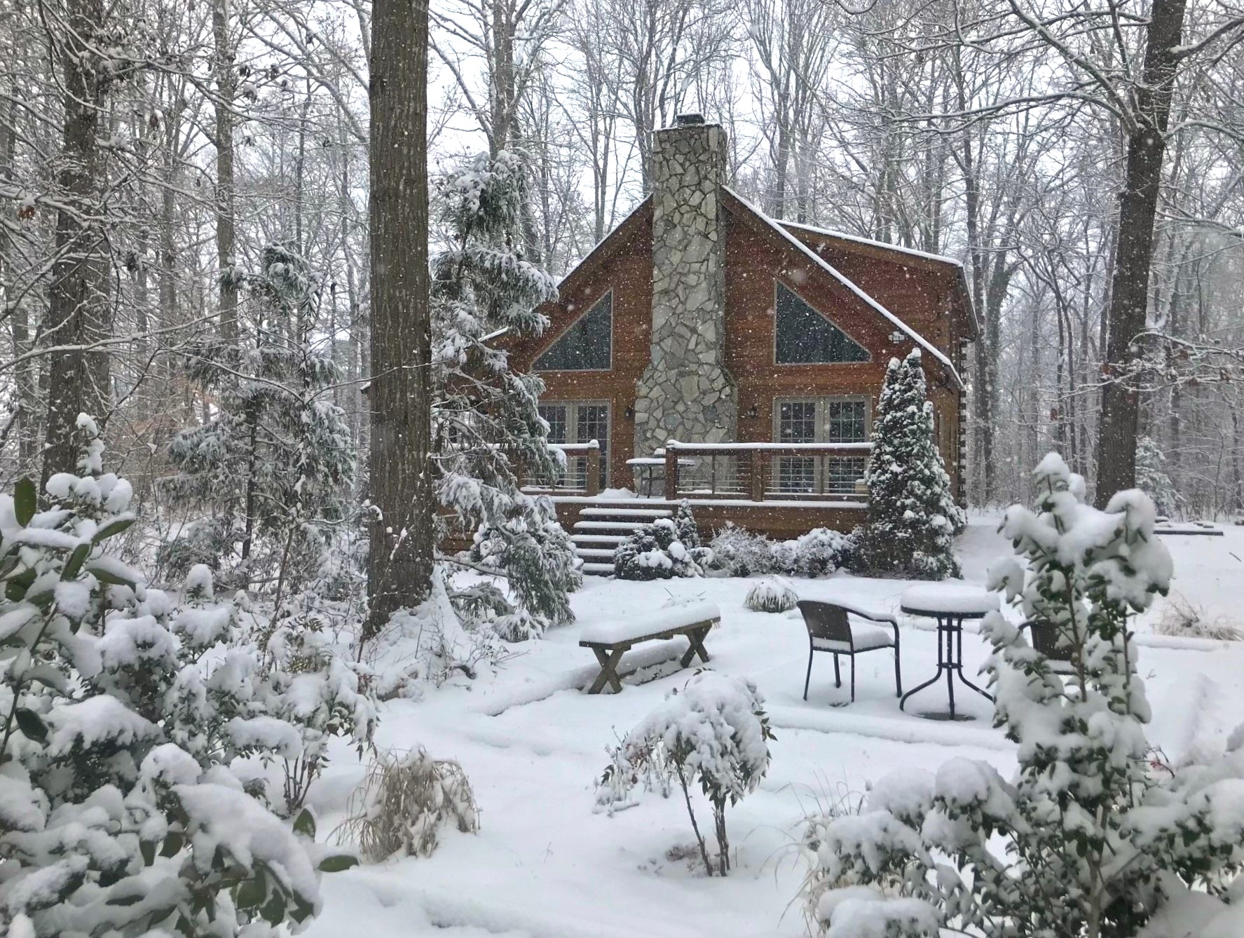
Beautiful property
-
1
-
 1
1
-
-
Is this the inverted trough forming over dc now?
-
1
-
-
Radar looking really good again for immediate dc metro
-
2
-
-
5 minutes ago, stormtracker said:
I kinda do now. I actually looked at the NAM and it continues the fun for a bit
I really like how the new precip appears to linking up with the existing band over us.
-
1 minute ago, stormtracker said:
They'll upgrade as soon as the back edge is about to come through. So around like 4pm or so
Do you like our chances for some afternoon fun? HRRR seems a bit lost but it likes us for the afternoon stuff.
-
1 minute ago, snowmagnet said:
I was just wondering when they were going to extend the WSW. Places in Fairfax County are 4-5" by now.
I haven’t been accurately measuring because I’ve been out with my kids but I’m guessing 4+ right on the dc/takoma border and piling up quick with this high ratio stuff. Maybe gonna make a run at 6.
-
Dc needs to be upgraded to a warning, this band is gonna do it.
-
2
-
-
This band over dc rules!!! Dendrites! Piling up quick.
-
4
-
-
Just now, weathercoins said:
Just about 4 inches of new snow in Takoma Park
And here come the heavies!
-
3
-
-
Beautiful event, gotta be near 4 inches now, decent rates
-
Dendrites high ratio stuff in dc now
-
3
-
-
3 minutes ago, stormtracker said:
Dc folks, we got a good burst earlier but meh on the radar. I dunno. My enthusiasm waning a bit.
Look around warrenton and culpepper, filling in nicely.
January Discobs 2024
in Mid Atlantic
Posted
Wow 75 degrees lololol