

Northof78
-
Posts
387 -
Joined
-
Last visited
Content Type
Profiles
Blogs
Forums
American Weather
Media Demo
Store
Gallery
Posts posted by Northof78
-
-
Kill this, and put it out of its misery...
-
 1
1
-
 2
2
-
-
2 minutes ago, North and West said:
Hope everyone who got hit with it enjoys it! Glad to see some online friends get good things.
.what did you get out there?
-
 1
1
-
-
N/C NJ same band with 10 -13” highest reports, very thin however…
-
4" and snowing at a steady light clip
-
3" here and snowing moderately
-
Started to snow lightly in S/W Essex county
-
49 minutes ago, BxEngine said:
8-12 hours of that is flurries.
Point being? Snow is snow
-
GFS solid 14/16 hours of snow with 4-6" for most of area outside of north of NJ/NY border
-
WWA advisories in NJ up to NY border in NY CWA
-
NAM axis of heaviest accumulations would be actually be further north, between Rt. 287 and Rt.80 in NJ NJ, less in S/C NJ
-
1
-
-
3 minutes ago, NEG NAO said:
areas south of I-78 - 3-5 inches north of their 1 -3
I live on the northside of the median on 78, so 3" I guess...
-
10 minutes ago, LibertyBell said:
4:1 to 6:1
when you went inland it was more like 8:1
EWR think is was 7-8:1, N/C NJ (inland) 8:9-1, NW NJ, S NY State 10:12-1....outside of NYC proper materially higher than forecast.
-
 2
2
-
-
-
5 minutes ago, LibertyBell said:
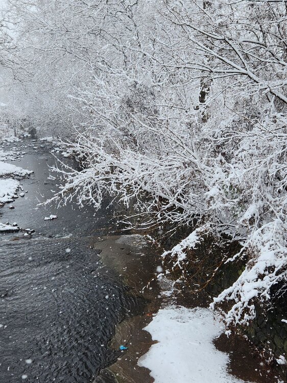
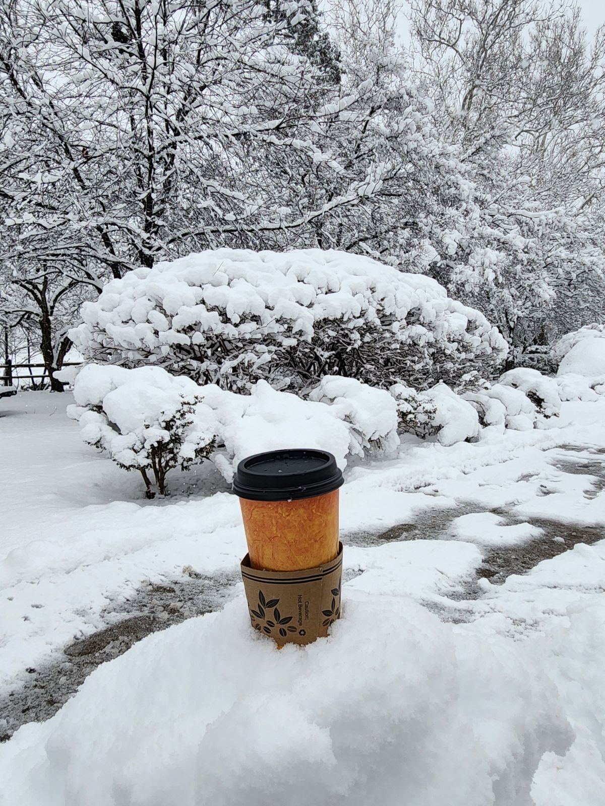
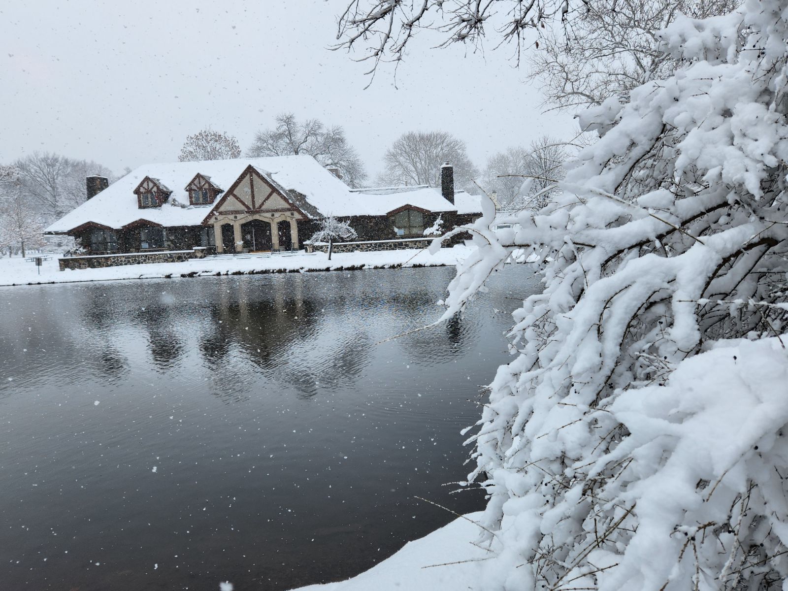
this is one of the most photogenic storms we have had in a long time!
Yes it is!

-
2
-
1
-
-
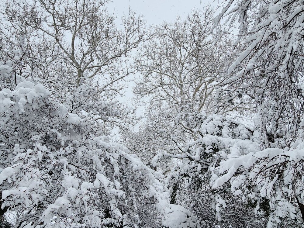
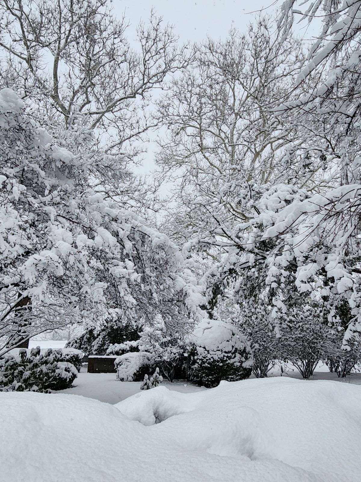
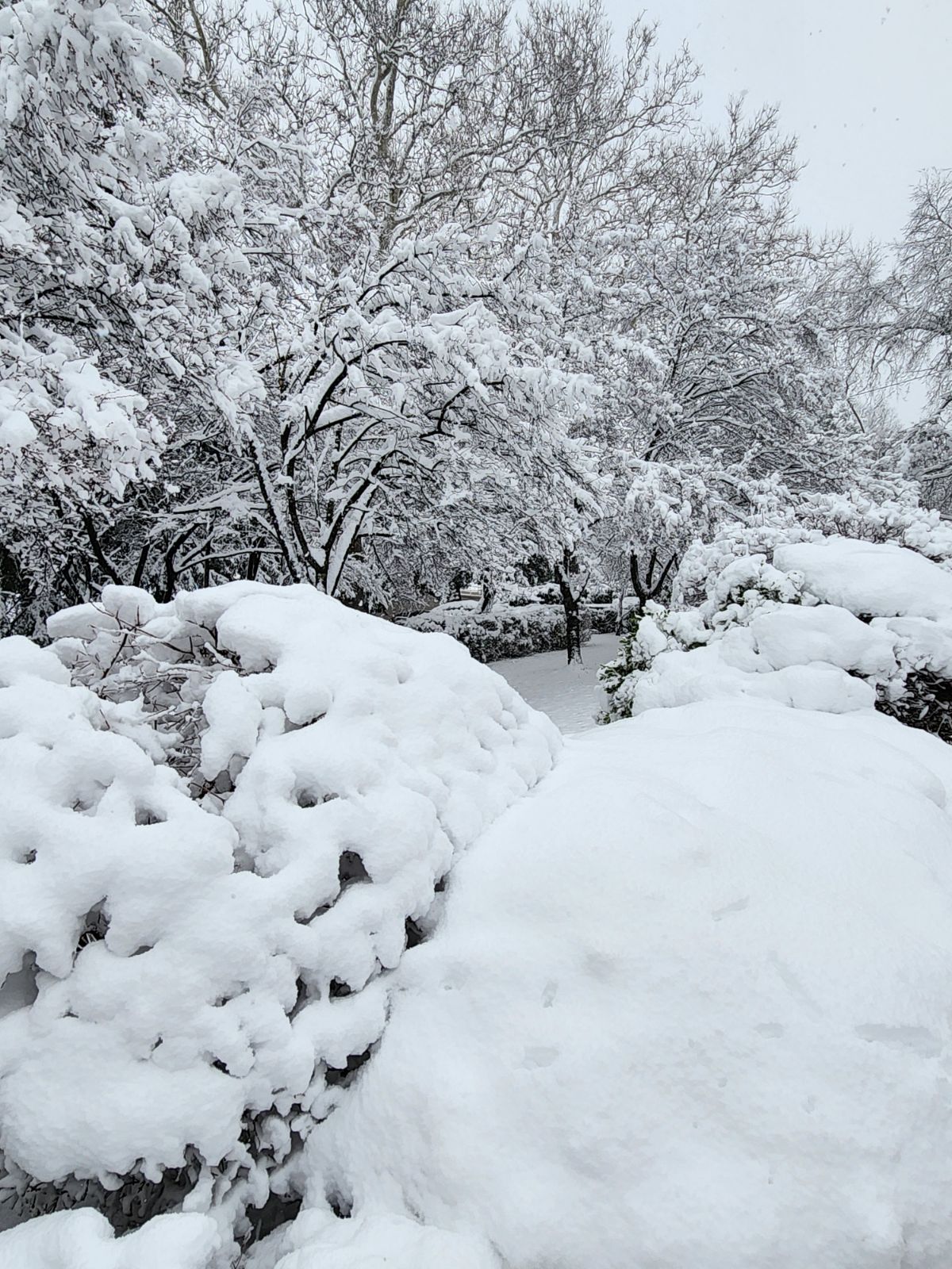
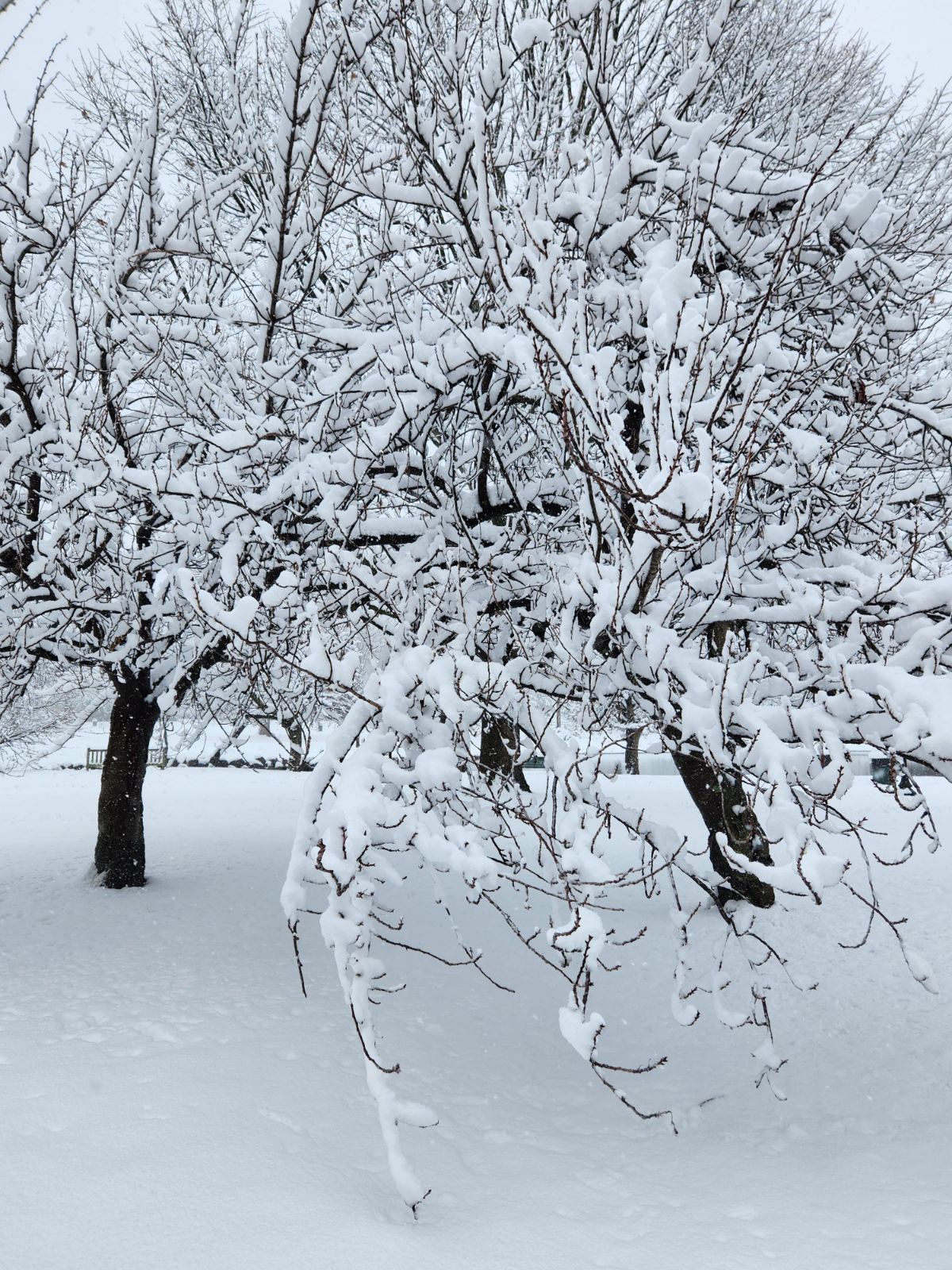
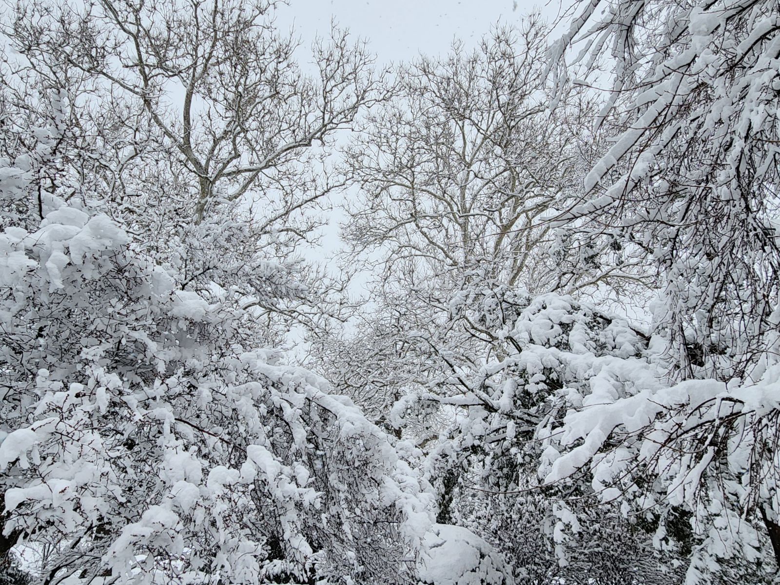
7.2" storm total here, everything looks gorgeous with deep snow on all trees and all surfaces, etc. Great storm!
-
1
-
-
Around 7" OTG here, probably end with 8", some blowing snow off roofs, moderate rate, excellent storm
-
2
-
-
Very heavy snow, approx. 1/8 mile vis, 1.5”/hr. Stuff with blowing snow, windy, anyone ready to use the “B” word for conditions?
-
Heavy snow now in S/W Essex County, ratios look to be good here, maybe 10 -12:1 or so…
-
1
-
-
About 1.5” - 2.0” OTG, gusty, some blowing snow, light/moderate rates
-
1
-
-
This is becoming very close to nothing material north of 84, and if trend continues, surpression/lack of precip is biggest concern now for Metro.
-
2
-
-
Wow, on that suite of 12Z models....if you average all, axis is through NYC give or take 10 miles, with average total accumulations of 8-10"
-
1
-
-
I don't think north of I-84 receives much above 4/5" max...this is a compact/strong storm with a very sharp N gradient.
-
When Kuchera is 6-10", 6-10" it is (assuming output is right to begin with), and warm ground, marginal airmass, sun angle, etc. (just as always is outside of the pavement in Times Square) is overrated.
-
2
-
-
As long as ground temps are 33/34F or less, I think we are close to 10/9:1 with very heavy rates, favorable growth, and 850 temps of between -3 and -6F.

February 2024
in New York City Metro
Posted
16" (52% of average), about 17 days of snow cover, well above normal temps, no big storms, nothing in Dec, if it ends here...D+