

McHenrySnow
-
Posts
537 -
Joined
-
Last visited
Content Type
Profiles
Blogs
Forums
American Weather
Media Demo
Store
Gallery
Posts posted by McHenrySnow
-
-
Just now, Chicago Storm said:
accurately is by the tenth, not the hundredth.
being a met one would think you’d know that.
.I know how you are supposed to record snow at O'Hare and I know how I record snow for my own purposes. I didn't get 3.8" of snow, but appreciate the concern.
-
3 minutes ago, Chicago Storm said:
3.8”*
.Yeah, I measure my snow accurately rather than rounding up.
-
I find it hilarious, but we tied for biggest snow total again at 3.75". That makes 3 snows at 3.75" each this winter. Two of which happened in the past 10 days or so.
-
Very pleasantly surprised - nearing 3" with one more really good band before ending. Finally crossed the 20" mark for the season!
-
 1
1
-
-
3.75”……..did I win?!
-
3
-
 3
3
-
 1
1
-
-
Best time for NE IL has always been midnight to 2 or 3.
-
1
-
-
HRRR has begun decreasing totals lol
-
1 minute ago, Cary67 said:
Snow falling
I know the LES band was north of you, but i assumed you still got some earlier. Did you not?
-
5 minutes ago, McHenrySnow said:
There's clearly a LES band in the northern suburbs affecting Grayslake, McHenry, and Woostock (and further west). It's not half bad. Nothing crazy, but bursts of decent snow and lovely fluffy dendrites.
I should have said "clearly a band of stronger returns in the general area of flurries/light snow" - there is also another band further south toward Chicago.
-
There's clearly a LES band in the northern suburbs affecting Grayslake, McHenry, and Woodstock (and further west). It's not half bad. Nothing crazy, but bursts of decent snow and lovely fluffy dendrites.
-
1
-
-
25 minutes ago, madwx said:
been having lake enhanced flurries all morning here, nice dendrites but very minimal accumulation
We've been getting lake flurries and occasionally a snow shower since yesterday. While not intense, I'm pretty impressed by how far inland they are managing to make it. Hope this bodes well for the main show.
-
1
-
-
Just now, Hoosier said:
Did not expect it to be this chilly here at this time. Possible that the lake is helping to reinforce a farther south frontal position or things are just a little farther south in general.
-
18 minutes ago, kevlon62 said:
Temp down 2 degrees in the last hour. 30 and zr. Small icicles abound on the elevateds. Roads hanging tough and just wet.
Came to post the same thing. 30.7º with freezing rain in McHenry, very light coating on everything but the roads at this point. Back patio is a sheet of ice.
-
2 minutes ago, Hoosier said:
Please hold together.
It's already weakened - no way it makes it to you anywhere near the strength it was.
-
This is likely THE event of the winter for me, if it doesn't fall apart.
-
2 minutes ago, Thundersnow12 said:
Not a big seasonal trends guy and each event is different but what a stinker of a seasonal trend lol
There is much more than a seasonal trend going on. For over a year now, southside has been getting all the precip. If things don't change this spring, far N IL and S WI will be in big trouble.
-
Just now, Baum said:
I don't see how they can.
-
Just now, Hoosier said:
We'll see what the Euro offers up but even if it's still relatively south, I think the hand is going to be forced into beginning to roll out watches this afternoon.
Particularly since the public is already aware of a storm.
My MIL already asking about a big snowstorm. I told her not to get her hopes up, especially since she lives further north than I do.
-
2
-
-
Just now, Baum said:
is this the short term model that showed LOT's NW burbs with a foot 18 hrs out in the last event?
I don't recall a foot, but, yes, it's nothing to hang your hat on this far out.
-
2 minutes ago, frostfern said:
I think there's even more factors. Southern stream synoptic events always have a fairly deep saturated isothermal layer below the DGZ while clippers have a very thin one. That isothermal layer seems to favor chunkier plates as opposed to spindly dendrites. They just don't form large aggregates the way pure dendrites do. You still get a lot of bigger aggregates mixed in within the heavier bands, but the abundance plates falling at the same time fills in the air gaps and lowers the ratios even so.
Yes, I did not mean to imply it was just temperature and wind by any means.
-
3 minutes ago, A-L-E-K said:
midway tho
Midway is my fave!
-
1 minute ago, dj3 said:
Question for you guys since I haven't been following this storm at all since PA is warm sectored. I have a connecting flight leaving Midway tomorrow night at 10:15PM. Is the worst of the storm expected Thursday AM meaning we should be OK for take off? I see some wind and rain in the point and click forecast but it doesn't look like the changeover happens until after midnight? Thanks for any help or info you can provide and hope you guys cash in on some snow!
You'll be fine.
-
 1
1
-
-
FWIW, SREF went north.
-
Just now, ILSNOW said:
Question are these Kuchera ratio on pivotal a middle ground approach for determining snowfall or is it meaningless?

Not meaningless, but not incredibly meaningful either. So much has to be taken into account when it comes to ratios - not just temperature. Wind also plays a role and I imagine will certainly play one this go around.

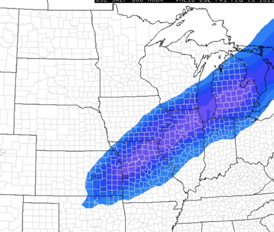
March 6 (late) - March 7 System
in Lakes/Ohio Valley
Posted
Correct and accurate are two different things, pal. I don't think you get to dictate how I measure and record my own damn snow, but glad you both could be assholes this morning and remind me why I stay off these boards.")