ChangeYourScreenname
-
Posts
116 -
Joined
-
Last visited
Content Type
Profiles
Blogs
Forums
American Weather
Media Demo
Store
Gallery
Everything posted by ChangeYourScreenname
-
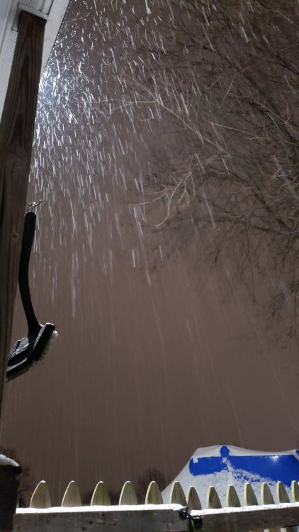
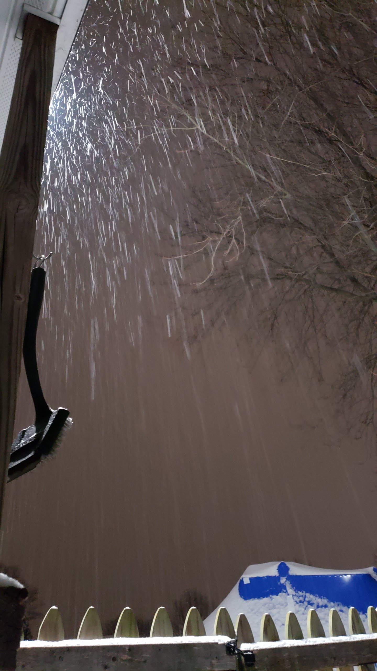
In the yellows again really big flakes. I can definitely see getting over 5 here
.gif.83202b0fd32ff81a14170e73543f6a9e.gif)
-
Winter Weather Advisory URGENT - WINTER WEATHER MESSAGE National Weather Service Baltimore MD/Washington DC 940 AM EST Mon Feb 11 2019 MDZ003>006-507-112245- /O.CAN.KLWX.WS.A.0004.190211T2100Z-190212T1500Z/ /O.EXT.KLWX.WW.Y.0010.000000T0000Z-190212T1500Z/ Washington-Frederick MD-Carroll-Northern Baltimore- Northwest Harford- 940 AM EST Mon Feb 11 2019 ...WINTER WEATHER ADVISORY NOW IN EFFECT UNTIL 10 AM EST TUESDAY... ...WINTER STORM WATCH IS CANCELLED... * WHAT...Snow, sleet and freezing rain expected. Additional snow and sleet accumulations of up to two inches and ice accumulations of one to two tenths of an inch possible. * WHERE...Northern Baltimore, Carroll, Frederick MD, Washington and Northwest Harford Counties. * WHEN...Until 10 AM EST Tuesday. * ADDITIONAL DETAILS...Plan on slippery road conditions. The hazardous conditions will impact the morning commute. They could also impact the evening commute and Tuesday morning`s commute. PRECAUTIONARY/PREPAREDNESS ACTIONS... A Winter Weather Advisory means that periods of snow, sleet or freezing rain will cause travel difficulties. Expect slippery roads and limited visibilities, and use caution while driving. When venturing outside, watch your first few steps taken on steps, sidewalks, and driveways, which could be icy and slippery, increasing your risk of a fall. The latest road conditions for the state you are calling from can be obtained by calling 5 1 1. && $$
-
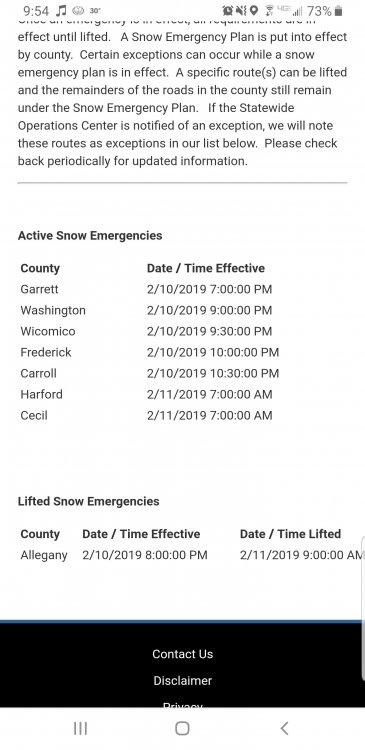
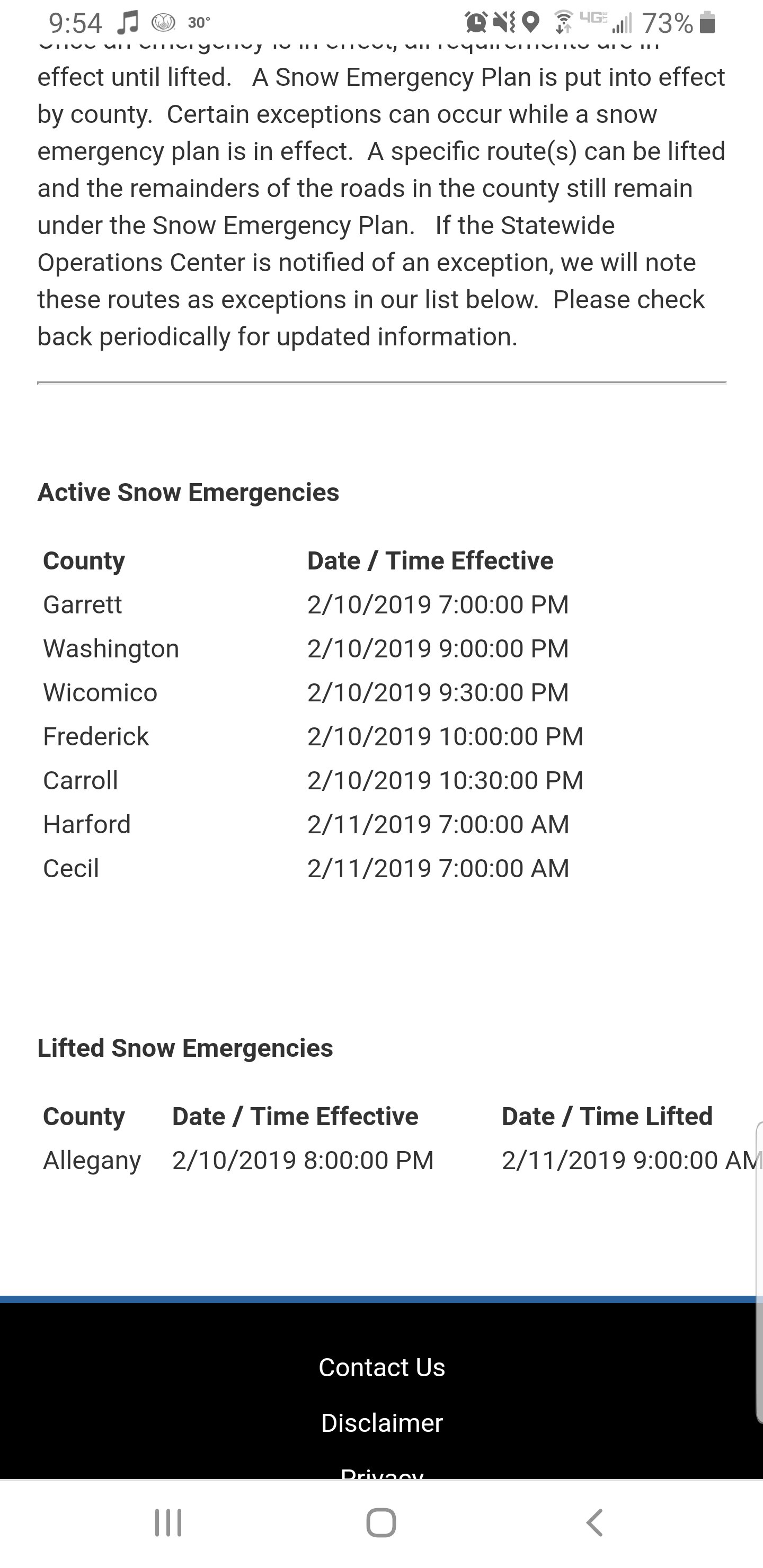
Snow emergency for northern counties
-
Been banded all snow big flakes
.gif.979c49a873ad41b01374a42921472363.gif)
-
3.4 bel air MD 29 Just got back from lutherville the reservoir is the sleet to snow line as of about 30 mins ago. Definitely more up here then there .
-
Snow is really coming down 29.8 Pushing 3
-
Harford and Carroll schools pulled the plug today Cecil will be next * Cecil just closed *
-
Into the yellow band no sleet much bigger flakes this will pile up quick.
.gif.66ce60387f86a66a1711fba1acd6f3af.gif)
-
R/S line is literally parked over 70
-
2.3 Coming down pretty good
-
Picking up here in Bel air north 32
-
Flurries in bel air
-
Just increased ** only through 10am tomorrow ** Does not include round 2 TWC is calling for 5-8 total for N-NE MD
.thumb.png.54d3db8bebefa5300d1adc593350fc10.png)
-
Harford and Cecil 2 hour delay
-
Tonight Snow after 7pm, mixing with freezing rain after 4am. Low around 28. South wind around 5 mph becoming calm in the evening. Chance of precipitation is 90%. Little or no ice accumulation expected. Total nighttime snow accumulation of 1 to 2 inches possible. Monday Snow, freezing rain, and sleet before 1pm, then rain and sleet between 1pm and 4pm, then freezing rain and sleet after 4pm. High near 35. Calm wind becoming northeast around 6 mph in the morning. Chance of precipitation is 80%. Little or no ice accumulation expected. New snow and sleet accumulation of 1 to 2 inches possible. Monday Night Snow, freezing rain, and sleet before 4am, then freezing rain and sleet. Low around 30. East wind 6 to 11 mph, with gusts as high as 21 mph. Chance of precipitation is 80%. New ice accumulation of less than a 0.1 of an inch possible. New snow and sleet accumulation of 1 to 3 inches possible. Tuesday Rain or freezing rain, becoming all rain after 1pm. High near 38. East wind around 14 mph, with gusts as high as 24 mph. Chance of precipitation is 90%. New ice accumulation of less than a 0.1 of an inch possible.
-
LWX has finally updated the max. Point and click max is 7 for bel air so more increases are probably to come
.thumb.png.e320900dbb2609cdab4c4cb8b9a88487.png)
-
After going over all the guidance and soundings 4-8 is by far not out of the question for Carroll, Northern balt, Harford and Cecil. South of there a very quick drop
-
Nam looks really good for Cecil, Harford and northern Baltimore county. Soundings dont look bad and support accumulating snow for a good period. Looks like 6-10 per NAM Kutchera
-
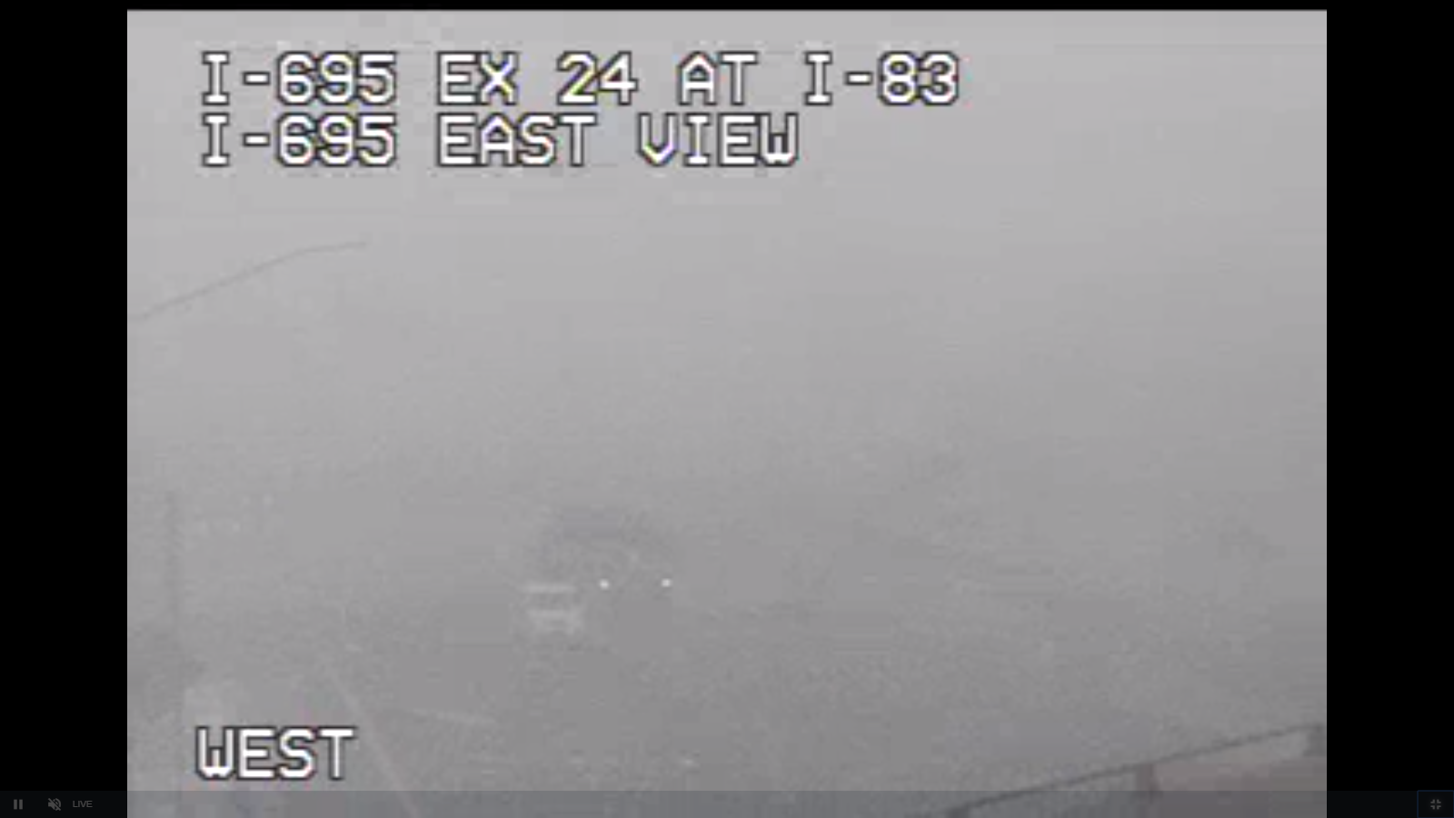
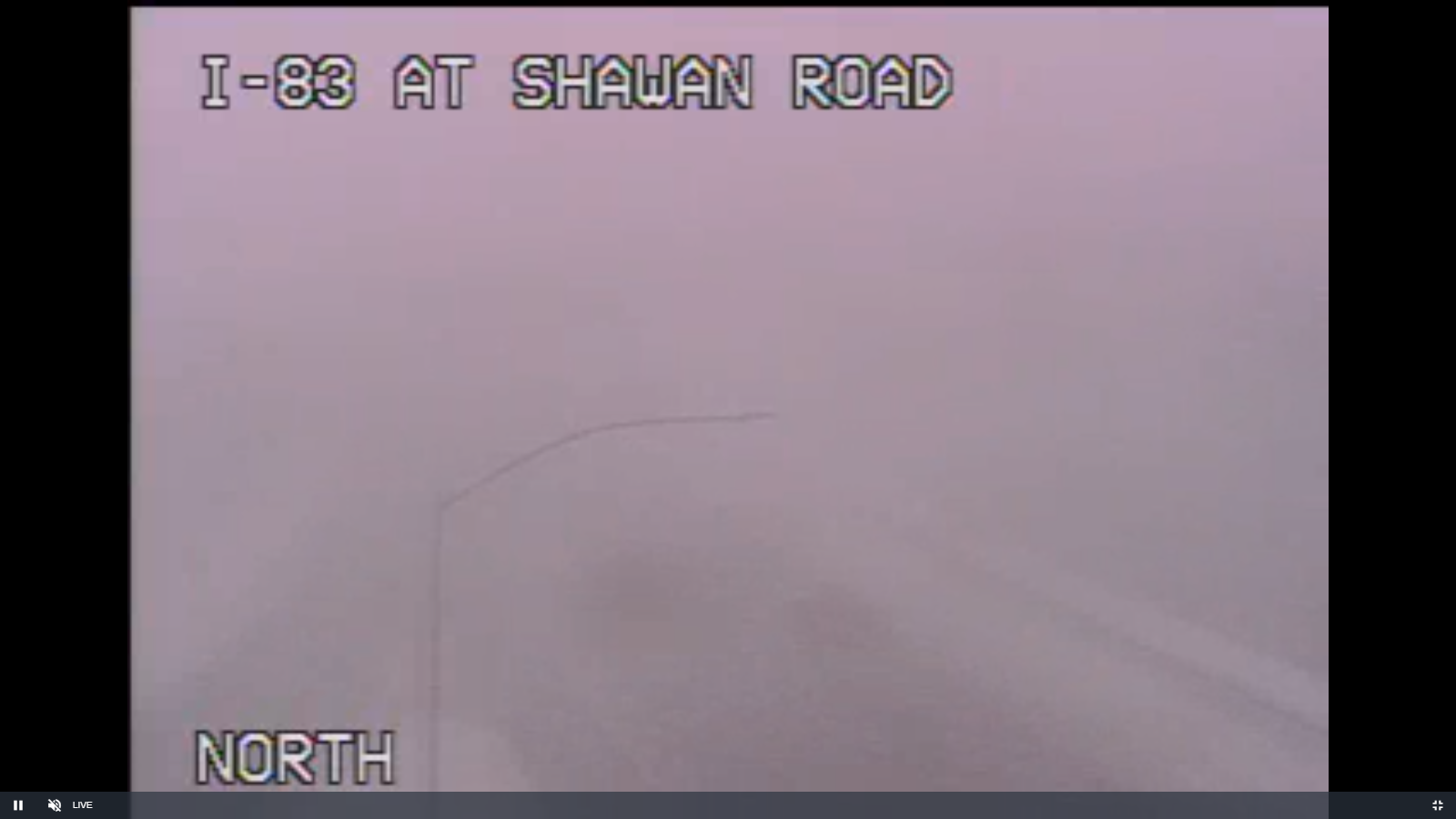
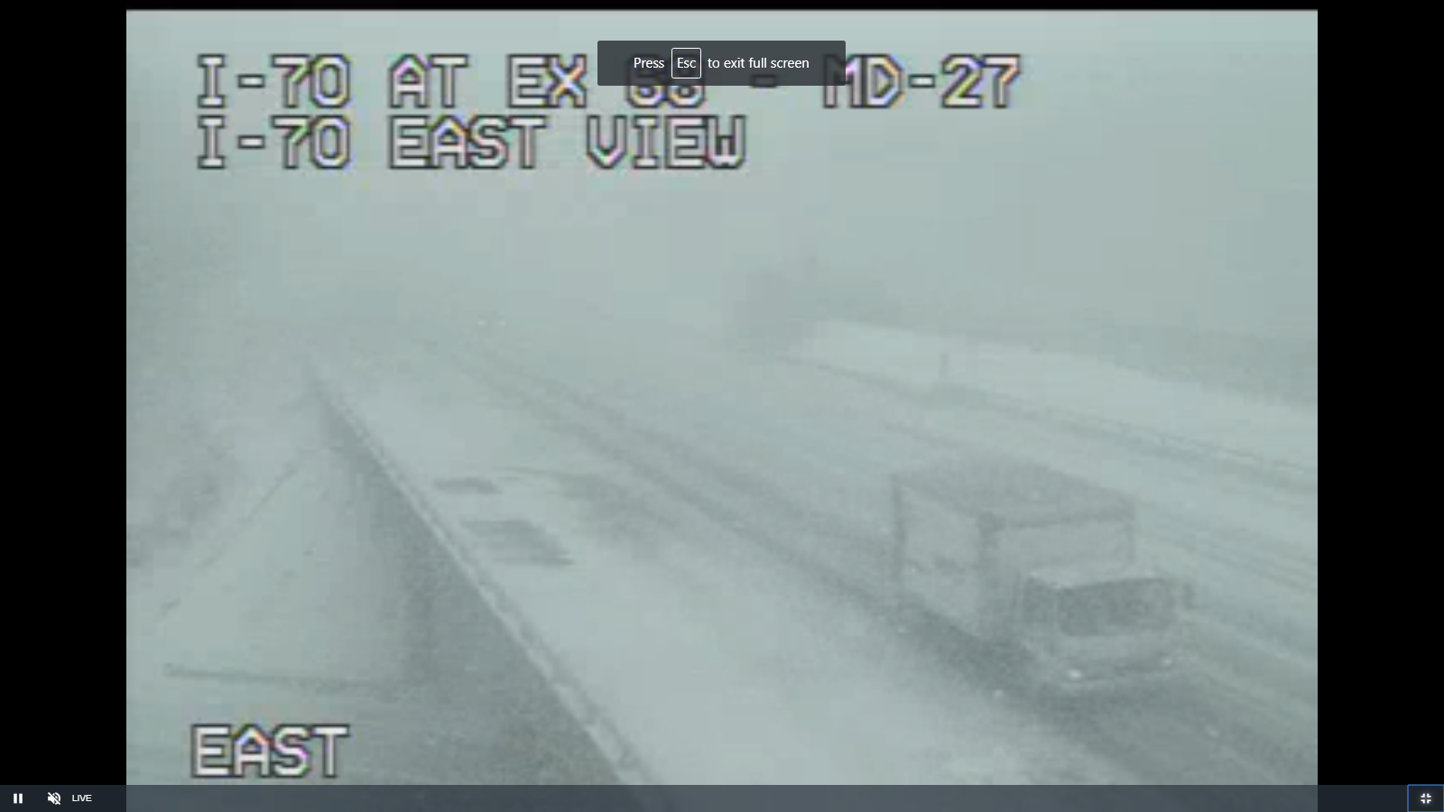
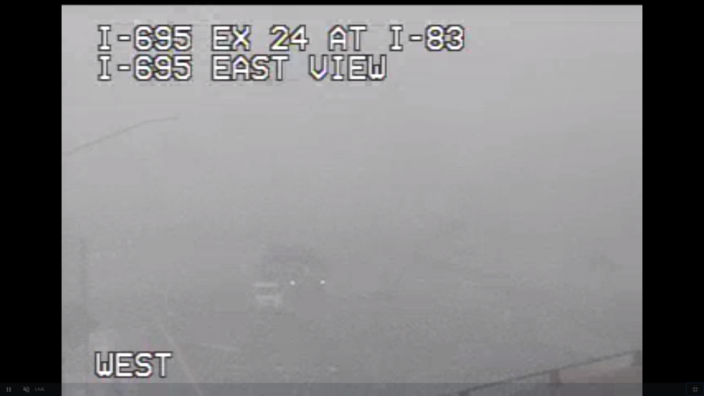
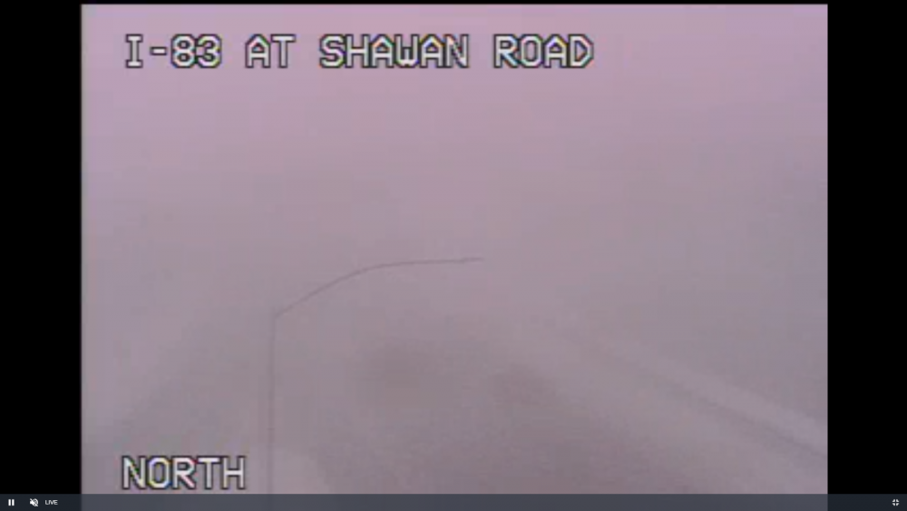
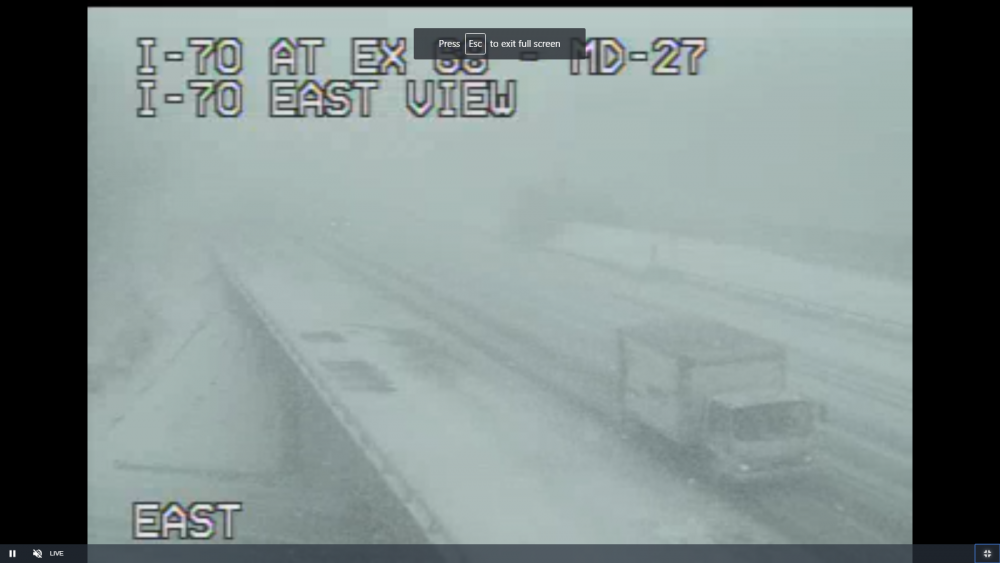
Into the Beltway https://chart.maryland.gov/video/video.php?feed=4c01ba5800f700d700437a45351f0214
-
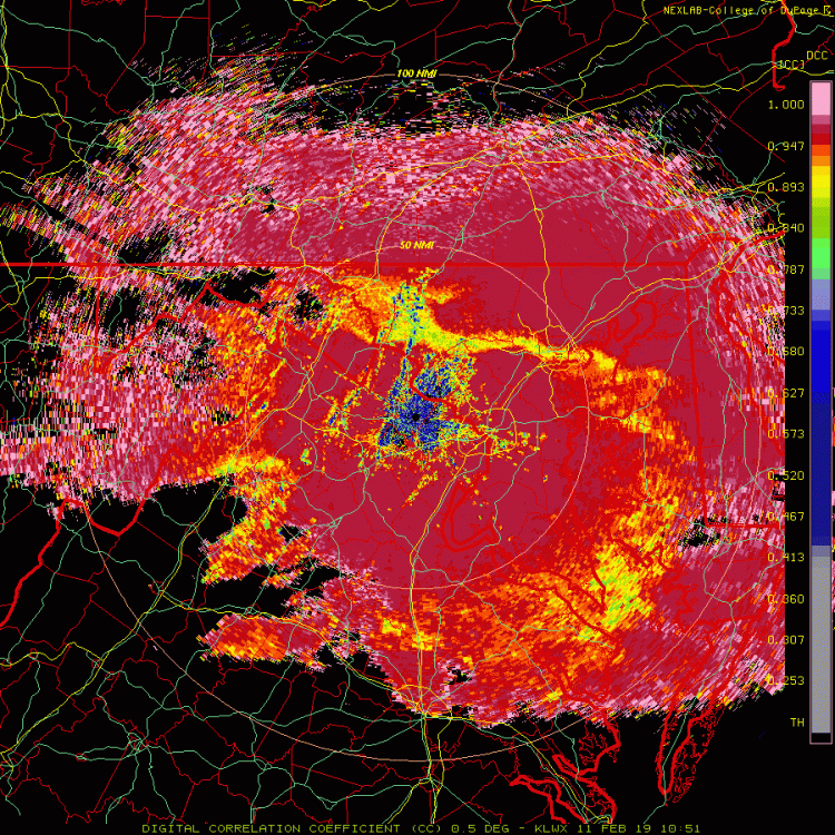
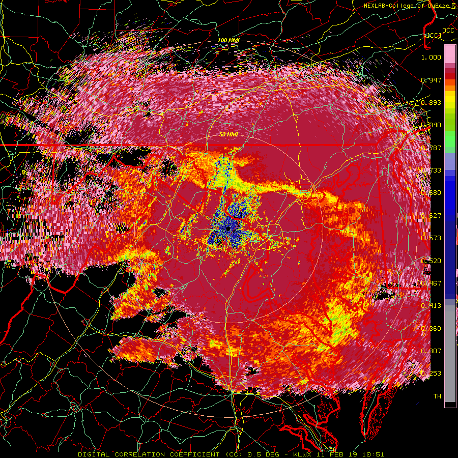
KBWI radar does great with these events. Absolute white out in lutherville
.gif.1929e7ef49e8d4448c2c3e3b98634fcd.gif)
-
Whollly shi
-
Thats why i am using KWBI low beam radar .20
.gif.a8a608639c848348e4ca1b55e0ac3b8b.gif)
-
Incoming!
.gif.011b319c24e774584a34851780dbce5f.gif)
-
Pretty sweet
.gif.235817fd3cca36268eee57ed9209becb.gif)
-

.png.460948f006885c6df80dcb64efb6ed23.png)

.png.7e9b609b33553a909e91606fc95f25e3.png)