-
Posts
224 -
Joined
-
Last visited
Content Type
Profiles
Blogs
Forums
American Weather
Media Demo
Store
Gallery
Posts posted by DC2Winston
-
-
14 minutes ago, calculus1 said:
Ugh. Such a difference in possible outcomes here in the lee. 12K NAM and RGEM show nothing just to the east of the foothills. ICON, FV3, 3KNAM, and earlier runs of the GFS show a little precip maximum there. So, could get completely blanked here in Hickory or could get a couple of decent inches. Like always, never really know until it’s “Go time”.
Feeling your pain here also. Either of our locales could be just dusted or a nice little maxima.
-
 1
1
-
 1
1
-
-
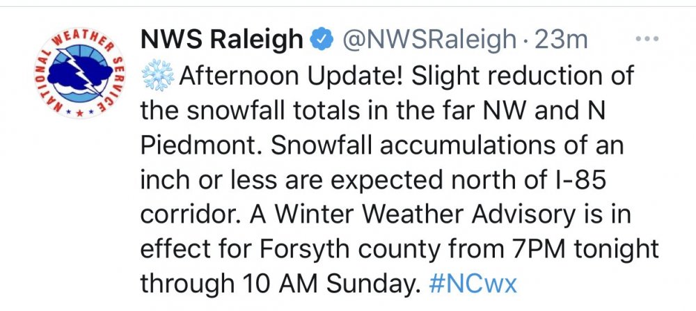
Cash me out for 2” around Triad. Would just like to see a little still falling after daybreak Saturday.
-
 1
1
-
-
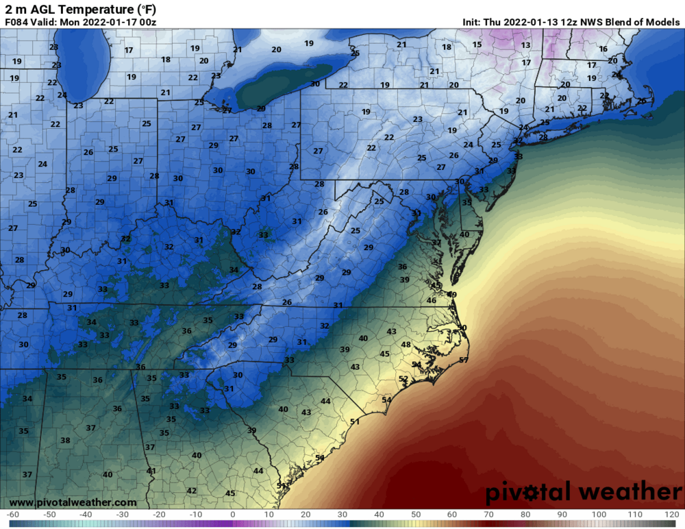
Can anyone post a surface map depiction for 12z Friday morning? Or GFS vs Euro for 12z. Thanks.
-
Odds of 7:30am flight Friday from Greensboro happening? Serious question as would have to drive and leave night before if canceled…
-
Got a 7am flight out of Greensboro Friday morning. Might need to start hedging that bet…?
-
Wondering the over/under for snow falling before sleet in Triad. Not accumulation but time. Would take the under 2.5 hours
-
 1
1
-
-
Already gusty NE winds here. Does not feel like before a snow…hard to explain…
-
If watching the CC mode on a radar app tomorrow, will the sleet line be coming S-N or more from SE-NW for NC Piedmont?
-
8 minutes ago, BooneWX said:
The trend with Zr in the Euro is highly concerning. Gives me 7 inches of wet snow and over a half an inch of ice. Cut that in half and it’s still lights out.
Man if you’re getting .5 ZR or even half that, then we’re partying like 1822 here.
-
 1
1
-
 3
3
-
-
2 minutes ago, SnowDeac said:
Surprising. Feel like we got a ton of sleet storms in Raleigh growing up. I remember one in particular in February of 2006, I believe, that was 2.5-3 inches of solid concrete in N. Raleigh.
I just moved from DC area to Winston in 2017...
-
I have only seen sleet accumulate more than a coating once, that was in mid-90s in northern Virginia. Surface air temps were in low 20's entire time, got about 4" sleet. I don't think we'll see quite that much here, but could come close.
-
You know something has gone sideways when storm thread SILENT less than 72 hours from GO-time.
Cant wait to lose power and skate down my driveway Sunday afternoon.
-
-
I asked this question in SE forum...but is this the type of setup where Winston/Greensboro, NC would do about same as DC snow-wise? Trading latitude for elevation and distance from water...
Where would have the better chance of let's say 6-8" SN before mixing?
-
If it’s snow you’re rooting for, would you rather be in Triad or DC for this storm?
My hunch is Triad based on elevation and particular storm track?
-
Feeling now 50/50 or better to lose power (ice) here in Winston. Would be second time in two weeks after the wind/rain/snow extravaganza. Fun times.
Also feels like pure snowstorm will be well west of 77 and ++ elevation. ~800 to 1,200 feet maybe WAA thump but quickly sleet/ice fest. Nothing like 25 degrees and pingers.-
 1
1
-
-
Just now, eyewall said:
I said earlier we saw this more than once this winter where the models get aggressive as we close in on an event only to pull back at the last second. It got RAH a couple of times. I wonder if we are seeing it again now.
If that means cold rain in Triad sign me up. Versus ZR.
-
 4
4
-
-
Any chance sleet could over-perform in Winston? I know soundings are trash. Even if for first thump.
-
-
4 minutes ago, BornAgain13 said:
Anyone have any ground reports of snow near Winston or Greensboro? Just curious as it heads up this way
I’m in Winston just NW of downtown near Wake Forest campus. Still just rain so far no mixing.
-
38 and light rain in Winston
-
Nothing falling here in Winston. 48 degrees.
-
-
Was at friends in Clemmons, drove back home to 27106 NW Winston. Just a little dusting here but more than last two “events”. Sad.


.thumb.png.6a92b60298c6239516fae652e837971a.png)

Potential 1/28-1/30 2022 winter storm
in Southeastern States
Posted
About 1/2 inch here NW Winston but has stopped and cloud deck noticeably higher. But weirdly air has that convective feel…