hlcater
-
Posts
2,637 -
Joined
-
Last visited
Content Type
Profiles
Blogs
Forums
American Weather
Media Demo
Store
Gallery
Everything posted by hlcater
-
Gonna have to go with Patricia and Haiyan as my guesses if Maria is numero 3. If not, maybe dujuan(I think that's the name) in 3rd?
-
That storm is sitting on an area of 500+ eSRH not surprised there's reports of a large tornado.
-
Maria actually made landfall as a 155mph Cat 4. It weakened in the last advisory right before landfall.
-
Not 100% sure this will happen or really how it even works in the first place. But I would like to say that if this outer band keeps contracting(it is, per TJUA) but fails to generate significant subsidence and still remains connected to the IEW through little spiral bands, it could just contract in on the IEW and have the IEW absorb the band. I have never seen this happen outside of Irma, but she did this several times. Generating significant subsidence(and thus eliminating the feeder bands) is the key to burning off the inner eye. If we can't do this, the IEW probably won't weaken.
-
Missed the direct eye, probably closer to 910.
-
Did I see a dropsonde to 170kts? Sorry haven't been keeping up past few hours.
-
I have a feeling the 5nm wide reading was inaccurate. Mainly given that radar didn't support that and 5nm is rrreeeaaallllyyy small. Eyes also rarely grow outside of ERCs(I think) especially while a storm is deepening.
-
Maria central pressure measured at 913mb. This makes Maria the deepest hurricane of the 2017 season so far, passing Irma at 914mb.
-
But there is? TSJU
-
SFMR readings are all flagged as well. Land, high rain rate and shallow water.
-
Looking like the eye is already contracting due to land interaction with the mountains of Dominica. However, I'm not really surprised and expected this to happen since a pinhole eye is not stable, but can allow for more rapid intensification, which I mentioned this morning. I'll be interested to see what implications this has down the road. I would assume at the very least we will get a larger eye after this one is "replaced."
-
Looks like they're gonna go for it.
-
You think Dominica will have an effect? I personally don't think they'll be enough to significantly hinder the storm.
-
Probably completes transition to purely extratropical and begins redepening that way, while not necessarily restrengthening(could be just expanding). Although I haven't looked at the euro. I'm just making a call based on current presentation and what's forecast.
-
VDM since recon seems to be broken. Main thing I noted was the relatively small 8nm diameter eye. This could help the storm continue to rapidly intensify, but will have to be replaced at some point down the road. Product: Air Force Vortex Message (URNT12 KNHC)Transmitted: 18th day of the month at 16:50ZAgency: United States Air Force Aircraft: Lockheed WC-130J Hercules with reg. number AF97-5305 Storm Number & Year: 15 in 2017Storm Name: Maria (flight in the North Atlantic basin)Mission Number: 2Observation Number: 22 ( See all messages of this type for this mission. )A. Time of Center Fix: 18th day of the month at 16:35:00ZB. Center Fix Coordinates: 14°45'N 60°14'W (14.75N 60.2333W)B. Center Fix Location: 56 statute miles (90 km) to the E (80°) from Fort-de-France, Martinique (France).C. Minimum Height at Standard Level: 2,727m (8,947ft) at 700mbD. Estimated (by SFMR or visually) Maximum Surface Wind Inbound: 104kts (~ 119.7mph)E. Location of the Estimated Maximum Surface Wind Inbound: 5 nautical miles (6 statute miles) to the SE (134°) of center fixF. Maximum Flight Level Wind Inbound: From 218° at 101kts (From the SW at ~ 116.2mph)G. Location of Maximum Flight Level Wind Inbound: 8 nautical miles (9 statute miles) to the SE (134°) of center fixH. Minimum Sea Level Pressure: 957mb (28.26 inHg)I. Maximum Flight Level Temp & Pressure Altitude Outside Eye: 10°C (50°F) at a pressure alt. of 3,045m (9,990ft)J. Maximum Flight Level Temp & Pressure Altitude Inside Eye: 17°C (63°F) at a pressure alt. of 3,038m (9,967ft)K. Dewpoint Temp (collected at same location as temp inside eye): 12°C (54°F)K. Sea Surface Temp (collected at same location as temp inside eye): Not AvailableL. Eye Character: Closed M. Eye Shape & Diameter: Circular with a diameter of 8 nautical milesN. Fix Determined By: Penetration, Radar, Wind, Pressure and TemperatureN. Fix Level: 700mbO. Navigational Fix Accuracy: 0.02 nautical milesO. Meteorological Accuracy: 1 nautical mileRemarks Section:Maximum Flight Level Wind: 115kts (~ 132.3mph) which was observed 17 nautical miles (20 statute miles) to the E (89°) from the flight level center at 14:41:00ZDropsonde Surface Wind at Center: From 245° at 18kts (From the WSW at 21mph)
-
Kind of a long walk...
-
My plan was similar to Jackstraw's on the way down in Missouri this morning. Then Waze told me that taking I35 on the way back up was a fantastic idea, and given the lack of any traffic on the way down, I believed it, and that ended just as well as one would expect. So went back to the pretty horrendous Missouri country roads and avoided most of the traffic on the way back to I80. Taking 80 was fine until I ran into an expansive MCS, which I coulda passed in 20 min but it took well over an hour to get out of the rain because people decided that going slower than the storm motion was an absolutely fantastic idea, but that probably would've happened anyways. Country roads were definitely the way to do it, as any interstate that went into totality is clogged from what I've seen and heard.
-
Held off just long enough to witness complete totality, which lasted about 1:30 seconds in and of itself. Clouds moving in now, but I couldn't care less. I saw what I came to see and it was breathtaking.
-
Drove 20 min west, south of Hamilton, MO and have a good view. Got some thin cirrus clouds, but sun is shining through. Got to a good spot with no time to spare.
-
I'm in a tear, west or south...
-
Heading to Chillicothe, MO and hoping to dodge the clouds. Doesn't look great, but prospects seem better there than they do further westward.
-
Came in to Chariton via 80 and 14 and 80 was full, but still flowing with no issues and 14 had no traffic, even less than normal. Also didn't see a single patrol vehicle along the way, kinda unusual given the increased traffic volume
-
Can't really say I am a huge fan of that AFD
-
Me too, as thats where I am most likely headed for the eclipse since I have family in N MO, I'd hate for it to be socked with clouds, especially since there won't be another one in this area for a very long time.
-
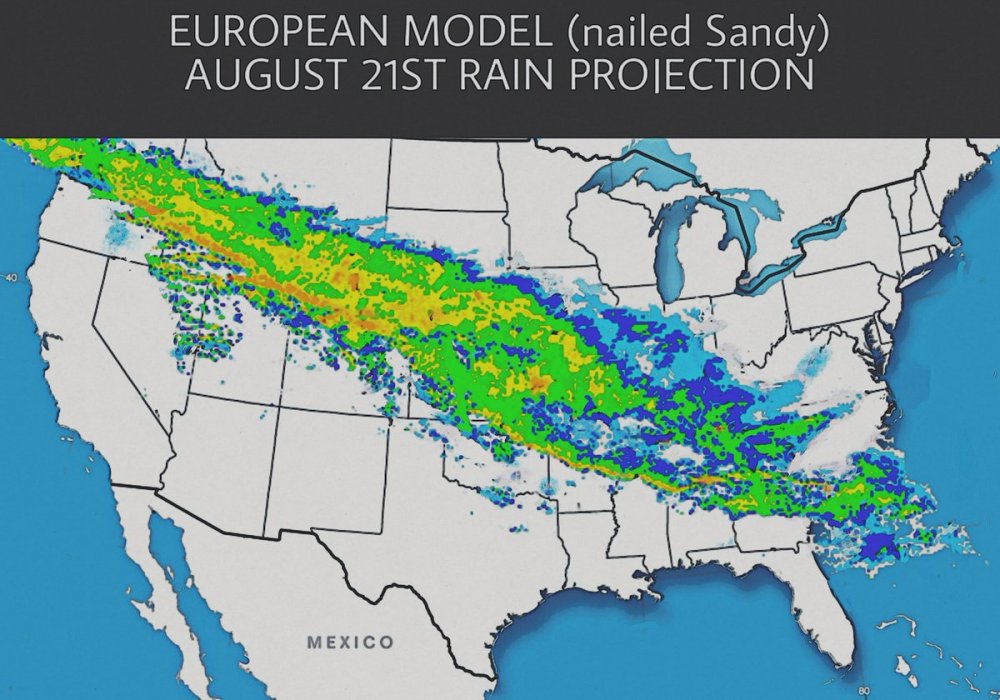
Bad news: The nailed sandy part really got me though lol. (EDIT: if this should be in the banter thread, feel free to put it there.)