

dilly84
-
Posts
4,041 -
Joined
-
Last visited
Content Type
Profiles
Blogs
Forums
American Weather
Media Demo
Store
Gallery
Everything posted by dilly84
-
Seen that. Calling for 9 feet lmao.
-
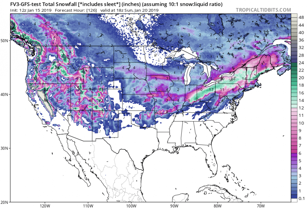
Nice but not accurate. Majority of what it's counting as snow would be freezing rain and sleet all the way to near Delaware county and east. There is accurate snowfall
-
This is during the heaviest period of what appears as zr.
-
Pretty comical reading the difference in forecast discussion between ILN, CLE, and PIT. PIT says its trending south, other two say north. But more comical is the different forecasts between me (Knox county CLE), Newark ILN, and Coshocton PIT. 3 counties border each other with different forecasts, cle has me all snow, Newark snow changing to rain, and a mix of sn, ip, and zr in coshocton. You'd think they'd work in some sort of tandem on big systems. Why is it they dont?
-
Around 20 of the euro ensembles buries i70 and north, a few are thread the needle and some are significantly north.
-
Stronger than last night's. But may bring more rain into eastern Ohio. But looks like most of us will be in very heavy snow.
-
Edit: euro is a monster. Gets down to 992. Stays just south of Ohio and into Wv
-
I wasn't either. I remember tracking it. I was 20 and the day before models showed heavy snow for us in coshocton county. Then 0z came in and it became obvious an ice storm was coming. Remember watching Chris Bradley on the news and showing Delaware, Ohio with something like 23" of snow. Was amazing if ya had a generator.
-
Little talked about outside of forums, but the impact in central Ohio east, I'd actually put the storm up there with the blizzard of 78. The amount of ice and people without power for upwards of 2 weeks. Christmas day temps plummeted below zero. Was a bad time for everyone. We were fortunate enough to get the last generator within 50 miles of us thankfully. But the impact it had east of Columbus had to be up there.
-
Understatement lol
-
This subforum saying the gfs and fv3 went south our Ohio board saying it went nw. Lol. I think it ticked south with the low but its stronger allowing the warm air get further northwest to i70 in Columbus.
-
Fv3 is actually south of the 0z run at 96hrs. I Can't see past that yet.
-
Not surprising with the gfs doing the same. But it doesn't appear the gfs actually went nw with the low. Just stronger allowing more waa to work in.
-
Always enjoy your analogs.
-
I should reiterate, the gfs itself is a bit south but it's much more ramped up bringing in more warm air resulting in an ice storm. Could be a blip or a trend
-
Definitely a NW trend today. GFS, ICON both NW to start the day. But it's only Tuesday. I'm actually not too concerned cause I can see it eventually trending back south.
-
I have accuweather pro. How'd they get the counties on the map? Lol
-
Looks like itd be a full on blizzard for i70 on euro
-
For anyone. Just a horrible run lol
-
Well it doesn't look good, I'll say that. Weak and suppressed
-
Not liking the north trends in general. Didnt appear to really be likely with this type of setup but its Ohio.
-
Obliterating lol 14-18" with good winds. Agree fun to look at. GFS borderlines CMH but dumps up to 10" north of i70, GEM the same. Definitely a lot to sort still.
-
Ended with 5.75" so all in all a decent little snow. Kids really enjoyed it and our husky puppies who just turned 8 weeks, really love it, as well as their parents of course. Looks like just south of i70 could see another couple of inches to bring most of the page to 4-6". Really looking forward to next weekends potential. Enjoy your snow guys.
-
Sucks when ya see what it dropped back west and how fast it weakened and dried up. I'm thinking I'll be close with my 3-4" call as well


