

gopper
-
Posts
283 -
Joined
-
Last visited
Content Type
Profiles
Blogs
Forums
American Weather
Media Demo
Store
Gallery
Posts posted by gopper
-
-
5 minutes ago, North Balti Zen said:
So it’s good they were wetter then…
So, we'll take half of the SREFs, and we'll know what our solution is for this storm
") . How much do the SREFs give us?
. How much do the SREFs give us?
-
 1
1
-
-
Towson, MD
4:20
32/30
moderate snow now sticking to most surfaces (except for pavement)
-
3 minutes ago, RockabilyJunior said:
Is there a site that has nice radar, including the dual pol products, other than nws? Since they updated their radar a few years ago it loads so slowly as to be unusable.
4:06 am On the Baltimore city / county line
34º with moderate snow / sleet mix.
Grass is mostly covered and It looks like it might start sticking to the paved surfaces soon.
https://weather.cod.edu/satrad/nexrad/index.php?type=LWX-N0Q-0-6
-
I think the RAP is now my favorite model
-
33 minutes ago, gopper said:
3:20 Towson
35.4/30.2
snow/sleet mix
starting to whiten cartops, mulch, elevated surfaces
3:55
All snow now. little dendrites. not accumulating very fast.
-
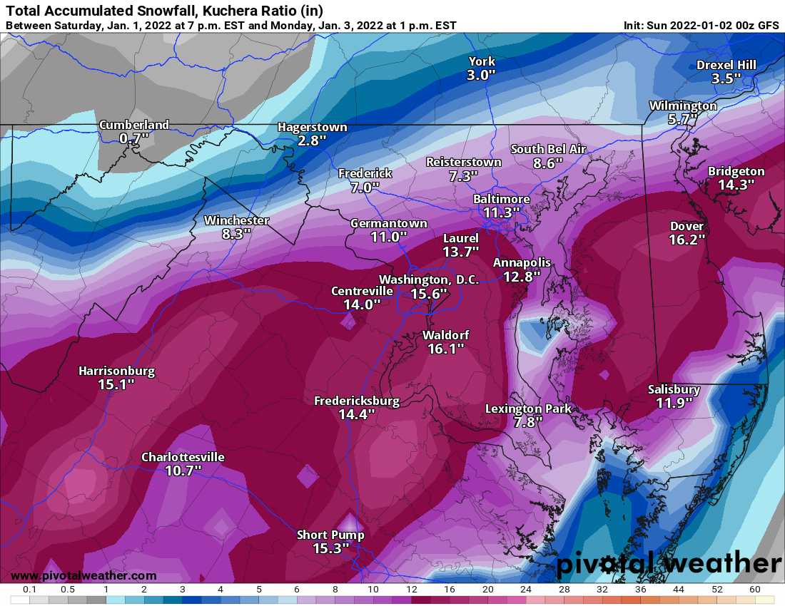
Ellinwood, Taking another look at your snow map. I think you are going to be spot on! Thanks for sharing it here.
-
3:20 Towson
35.4/30.2
snow/sleet mix
starting to whiten cartops, mulch, elevated surfaces
-
 1
1
-
-
2 minutes ago, jayyy said:
Woah! Warning upped to 5-10” for eastern Howard county! LFG! So glad I decided to stay here for another night
tend to agree with this decision based on how juiced that radar is and current snow reports down in TN AL
Warnings have been extended North and East through Eastern Howard, Southern Baltimore CO., Southern Harford and Cecil County
-
Don't know anything about the RAP model on Pivotal Weather, but it has increased Baltimore area by 1 inch for each of the past several hour runs. From 4 inches to 8 inches.
-
1
-
-
12 minutes ago, gopper said:
Towson
Sleet with the occasional snow flake mixed in. Light precip at the moment.
38/32
Now rain, sleet and the occasional snow flake
-
Towson
Sleet with the occasional snow flake mixed in. Light precip at the moment.
38/32
-
7 minutes ago, Steve25 said:
Putting my faith in you guys because my untrained eye when it comes to nowcasting surely will deceive me.
Looking at the radar in total, how do you think things are looking for an area just barely northeast of Baltimore City? Light/moderate snow event throughout the morning, like 2-3 inches? Just trying to figure out my morning plans.
Yes, that seems reasonable to me. I am just below Towson and am not really expecting more than 2 inches based on latest model trends.
-
1
-
-
Towson, MD
1:10 AM
39 degrees
2 flurries passing by flood lights
-
1
-
-
Baltimore County Schools closed tomorrow! Yay!!!
-
1
-
-
7 minutes ago, snowfan said:
100% chance of 0-6”
1% chance of 6-12?
-
Just now, caviman2201 said:
100%... I care way more about the precip axis than the amounts its spitting out
Agreed. Want to see more modeling with this precip axis to feel really good. Even if we cut those numbers in half, it is a huge win for most of this area.
-
1 minute ago, StormyClearweather said:
Wowza

Now we're talking!! Just get the Parr's ridge death band in there and it's game on!
-
1
-
-
18 minutes ago, CAPE said:
I will use the GFS as an example, as it appears to be kicking ass here. Back to the basics. The set up looks largely the same as when I first started posting about this window 5-6 days ago, and it is a favorable one. Cold air with sprawling HP to the west and north (note the absence of the dreaded GL low), low pressure off of the Canadian Maritimes, and high pressure over Greenland. H5 is also reflective of the favorable look for snow in the MA. One flaw is the anomalous warmth we have in place just ahead of this potential event- but the cold push is legit, and as long as the shortwave is sharp and with a favorable pass to the south, and with all the features mentioned above in the 'right places' the solution the models seem to be converging on is reasonable. The expansion of the precip shield further NW into the colder air is not reflective of any significant shift in the low track, but rather a sharper shortwave and better timing. Overall a pretty classic look, and throw in that the -NAO is breaking down- not to say that this is going to be a KU type event.

Cape, sort of an IMBY question for those in Baltimore and north...Is there any synoptic mechanism that might either expand the heavier precip north or even bring the low pressure more north? If so, what would a novice map reader look for.
Thanks.
-
PSU playing it low today. Guess he expects to be "fringed". Or he is enjoying NYE already.
-
 1
1
-
-
Really nice pictures! Thanks for sharing. That last picture is fascinating. Is it a natural sculpture? Looks like an old man with a hat.
BTW, you should have considered the "omicron" express for your trip home. I hear it is a lot less dangerous than "Delta".
-
1
-
-
31 minutes ago, Kay said:
Hello porchlight my old friend,
I've come to gaze at you again
Because a vision softly floating
Left its white while I was sleeping
-
1
-
-
snowflakes in Towson

-
2
-
-
51 minutes ago, Wxdavis5784 said:
Eerily familiar...
Does it have to do with the initials JB?
-
BWI: 32
DCA: 22
IAD: 40
RIC: 8
SBY: 8
Methodology = "We're due!" Sorry locals south and east will have too much mixing.
Analog = 1996
-
2
-
Jan 6/7 "Event" and obs
in Mid Atlantic
Posted
Did Ellenwood post a snow map anywhere?