

Jed33
-
Posts
905 -
Joined
-
Last visited
Content Type
Profiles
Blogs
Forums
American Weather
Media Demo
Store
Gallery
Posts posted by Jed33
-
-
Likewise, lots of lightning, thunder, wind, and even a Tornado warning here in Hamblen Co. this afternoon. Thunder is still rumbling in the distance off and on. Reminds me really of a summertime MCS where the main line comes through and you just keep getting occasional lightning and thunder for an hour or two later.
-
 3
3
-
-
The sunrise this morning at the house was pretty cool! I took this picture at just the right time to catch a faint “sun pillar” at least that’s what we’ve always called them.

-
10
-
-
The frost this morning is extremely thick here. I’m sure it had to do with the fog, but currently it’s 24 degrees and foggy with the heaviest frost I’ve seen in a long, long time.
-
2
-
-
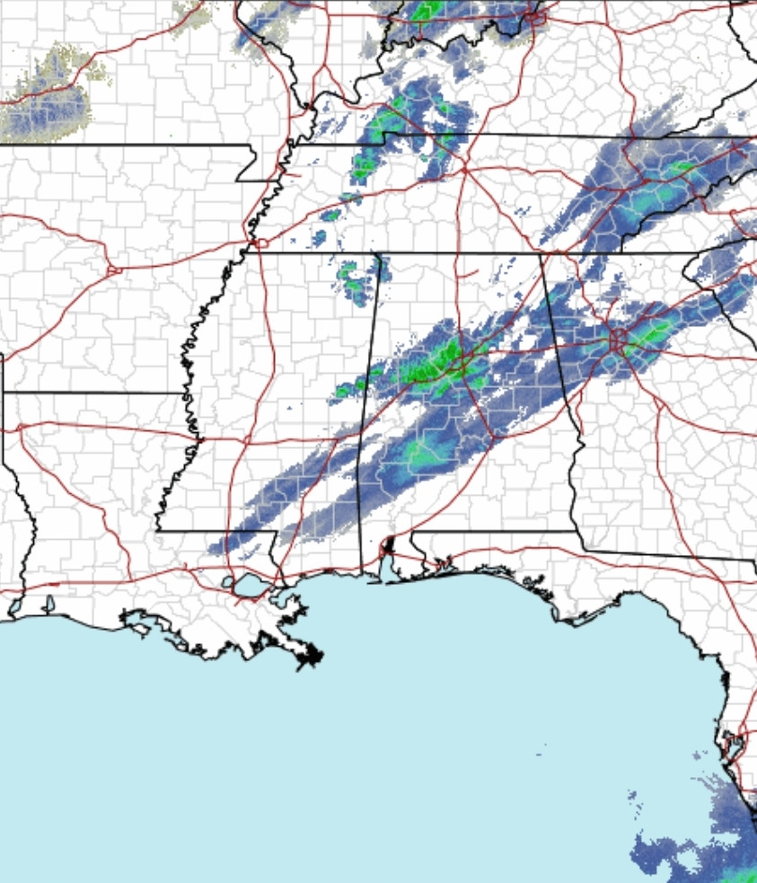
18z GFS with the backside NWF.
-
1
-
-
27 minutes ago, John1122 said:
Nashville is pretty good about putting out maps. MRX doesn't really seem to have them and their records are exceptionally inaccurate regarding snow. Their official record lists no snow in the Tri-Cities from the event. It lists 2 inches in Morristown.
Yes I have come to realize that over the years about them. It’s unfortunate too, it would be nice to compare it to possible upcoming storms, in this pattern, or any pattern. However, with the data so unreliable, it’s not possible.
-
1
-
-
Is there a snowfall map from that event? I would love to see how it played out around here. Judging by the radar, there was some precip here but I’m not sure how much accumulation there was
-
That’s insane! Wish I was there!!
-
You know, I was surprised to see that Knoxville is 63° this afternoon. Meanwhile I’ve still got some fog and dense clouds the temp here is still 53°. It truly is amazing around here sometimes with these microclimates.
-
4
-
-
Still snowing albeit very light flakes. I ended up with just a little more than 1/2in. I know lots of places on the west side of the county picked up more than an inch though. All in all I’m happy with what I got, considering I wasn’t sure what would happen.
-
4
-
-
5 minutes ago, John1122 said:
Never seen a clipper causing precip down towards the Gulf Coast. We'd normally be lucky to be in the section that's down in Alabama now.
Could it be a series of shortwaves around a parent clipper possibly?
-
1
-
-
Could we say the GFS= Garbage for Sure haha!
-
1
-
-
Light snow beginning to fall here now.
-
3
-
-
57 minutes ago, John1122 said:
The various NAM nest models are downright aggressive. Especially for the mid-state. The Canadian family seems to like the Chattanooga area. The GFS and HRRR have a nice 1 to 1.5 around Knoxville.
It would be fitting for this to happen. I think Carver mentioned it earlier in the thread. A long time ago, when we had these kind of air masses, it would always seem to snow one last time on the last cold or semi cold day before the warm-up. In other words, end the cold snap with a snow. The old timers used to say it would have to “warm up” to snow. I can remember hearing that more than once. Just like the phrase too cold to snow (of course we know that’s not the case it was always just the moisture wasn’t there.)
-
4
-
-
20 minutes ago, Holston_River_Rambler said:
I think there’s some lake effect off of Cherokee with the wind trajectory up the valley.
MRX actually updated to mention that in the latest afd. Have had another dusting overnight and some good snow showers this AM.

-
4
-
-
Even here, the pixie dust has increased for the time. I have a nice dusting again on some surfaces. I sure wasn’t expecting that. I thought that after last night failed that would be it. However, as often it seems is the case in NE TN, the day after the storm, snow showers and patches/small bands form and move through the area. This time is a little different though, bc besides out west, I have never seen it snow at 2 degrees where I currently am sitting.
-
1
-
-
Getting some fine pixie dust right now. It’s kinda dusted the roof tops and car tops very lightly for the last hour. It’s almost like a fog outside.
-
2
-
-
2 minutes ago, ShawnEastTN said:
I've lived in the valley of east Tennessee since 1989, I cannot recall a daytime temp peaking at 8 degrees. My weather station has been fluctuating between 6 and 8 degrees all day. The coldest day time temp I can recall since we moved here when I was 10 years old is in the low to mid teens for daytime hours. My forecast high from MRX yesterday was a high of 16, not going to hit that. I suspect tonight may go negative air temp.
Sent from my SM-F721U using Tapatalk
The closest thing I can remember was the PV anafrontal snow we had in January 2014, when it snowed a solid 1-3in across the area. That front and moisture worked for the valley, unlike this time. It was around 16 degrees or so when it started snowing that morning and dropped steadily for an hour or two. The snow was over around noon and the temp at the house was 10 by then. By 3 in the afternoon, it was around 6 degrees and around 3 when the sun set. After it was all said and done, we bottomed out at -3 at the house. Some places went lower. The thing about this current event coldwise, it seems, is that it was over a bigger area. The direction of the 2014 event if my memory is correct was centered slightly further east, so that the coldest readings were over E TN and KY and SW VA.
-
4
-
-
Just had a heavy snow shower roll through town. Barely anything with the main event, and then boom. Laid down about 1/4-1/3in on the roads and everything around in just a matter of minutes!
-
4
-
-
Just now, PowellVolz said:
The system is a lot more healthier that what the mods have been showing for days.
.Yes I wonder if that’s because the flow ended up being more SW to NE allowing a little gulf tap? I also wonder if the added moisture will play into more being able to be squeezed out later as the arctic air works on it?
-
2
-
-
The GFS is also getting colder for Friday morning! Seeing a lot of sub zero I40 N
-
1
-
-
19 minutes ago, Runman292 said:
Speaking of historical cold, when was the last time all of TN had a wind chill warning?
I don’t recall a statewide one either! Maybe in the 80’s but it’s been awhile.
-
28 minutes ago, TellicoWx said:
MRX upgrades entire area to Windchill Warning:
WIND CHILL WARNING IN EFFECT FROM 4 AM EST /3 AM CST/ FRIDAY
TO 1 PM EST /NOON CST/ SATURDAY...

* WHAT...Dangerously cold wind chills expected. Wind chills 10 to
  20 below zero lower elevations, and as low as 25 to 35 below
  zero at the higher elevations.

* WHERE...Southwest North Carolina, east Tennessee and southwest
  Virginia.

* WHEN...From 4 AM EST /3 AM CST/ Friday to 1 PM EST /noon CST/
  Saturday.

* IMPACTS...The cold wind chills could cause frostbite on
  exposed skin in as little as 30 minutes.

* ADDITIONAL DETAILS...Wind gusts Thursday night through Friday
  are expected to be between 30 and 50 mph. Winds this strong may
  result in downed trees and power lines, which may cause power
  outages while temperatures are extremely cold.
I can’t recall ever seeing WC Warning since I’ve lived in E TN! Advisory yes, only warnings for the mtns. Takes a lot for MRX to issue one for the valley
-
1
-
-
11 minutes ago, fountainguy97 said:
The hrrr is simply jaw dropping. Most places lose 20-30 degrees in a single hour.


That is the most extreme model I’ve seen. I thought the HRRR had a warm bias? It’s got everyone solidly below zero at 7AM friday
-
4
-
-
59 minutes ago, PowellVolz said:
That might be the February I’m remembering. Did we have like a 3 day overrunning event where we had heavy snow to sleet and freezing rain back to snow? Seems like I remember getting several inches of sleet. I was cleaning my gutters out every day. I was the only one doing that in my subdivision and several houses lost their gutters. Was that also the inverted trough up the valley 5” surprise year?
.tFor sure the 5” valley surprise. It was supposed to snow maybe 1/2in and change over to rain due to a warm nose up the valley. The thing is, a cold pool of air developed due to dynamic cooling and CAA, and somehow the warmth got shunted to Johnson City and the mountains. The mountains warmed up to almost 50 degrees and I think even JC was like 47 or so, but to the west it was all snow. Never switched over to rain. Some areas in Hancock Co TN and Lee Co VA had over a foot or more of snow.
Never fully understood, even to this day the miracle that happened with that event. Usually the mountains get the snow and somehow they got the shaft and the valley got the goods! I guess it was just meant to be is all I can say.
-
4
-


January 12-13 Severe and NWFS Event
in Tennessee Valley
Posted
I thought the same thing. That line meant business as it came through!