
JasonOH
-
Posts
791 -
Joined
-
Last visited
Content Type
Profiles
Blogs
Forums
American Weather
Media Demo
Store
Gallery
Everything posted by JasonOH
-
That sonde could have caught a gust since the wind increased so much in the final 4mb, but 110kt is easily believable for surface winds. Going to be Cat 4 very soon, if not already. edit: NHC went with 110KT/956mb
-
210mph G2G in the 19:06 scan from AMA.
-
This exactly! I need to get some studying done (for a meteorology class), but I'm doing a surface analysis every 2-3 hours today. These are the days when the Mesonet is so awesome, since Obs are everything, especially on a day like today with questionable moisture.
-
7z,8z, and 9z runs of the HRRR are remarkably consistent with a supercell over the OKC metro. Even with no tornadoes, large hail could make a huge mess where that tracks. A thing to note is that the 07z HRRR is a degreee or 2 high with dews over parts of south central Texas at 11z. This is corrected by the 09z run. It has been consistent with dew points in Oklahoma as of 11z.
-

Texas/New Mexico/Louisiana/Mexico Obs And Discussion Thread Part 8
JasonOH replied to wxmx's topic in Central/Western States
When the sounding from 0z at FWD is modified to the 65/63 of DFW, SBCAPE increases to over 1000J/Kg. Definitely want to watch these storms closely as they enter the metroplex. Storm south of Fort Worth is a total mess right now, but does have a good environment ahead of it..thumb.png.8afada9260e36a1d08f1fd43e60986bc.png)
-
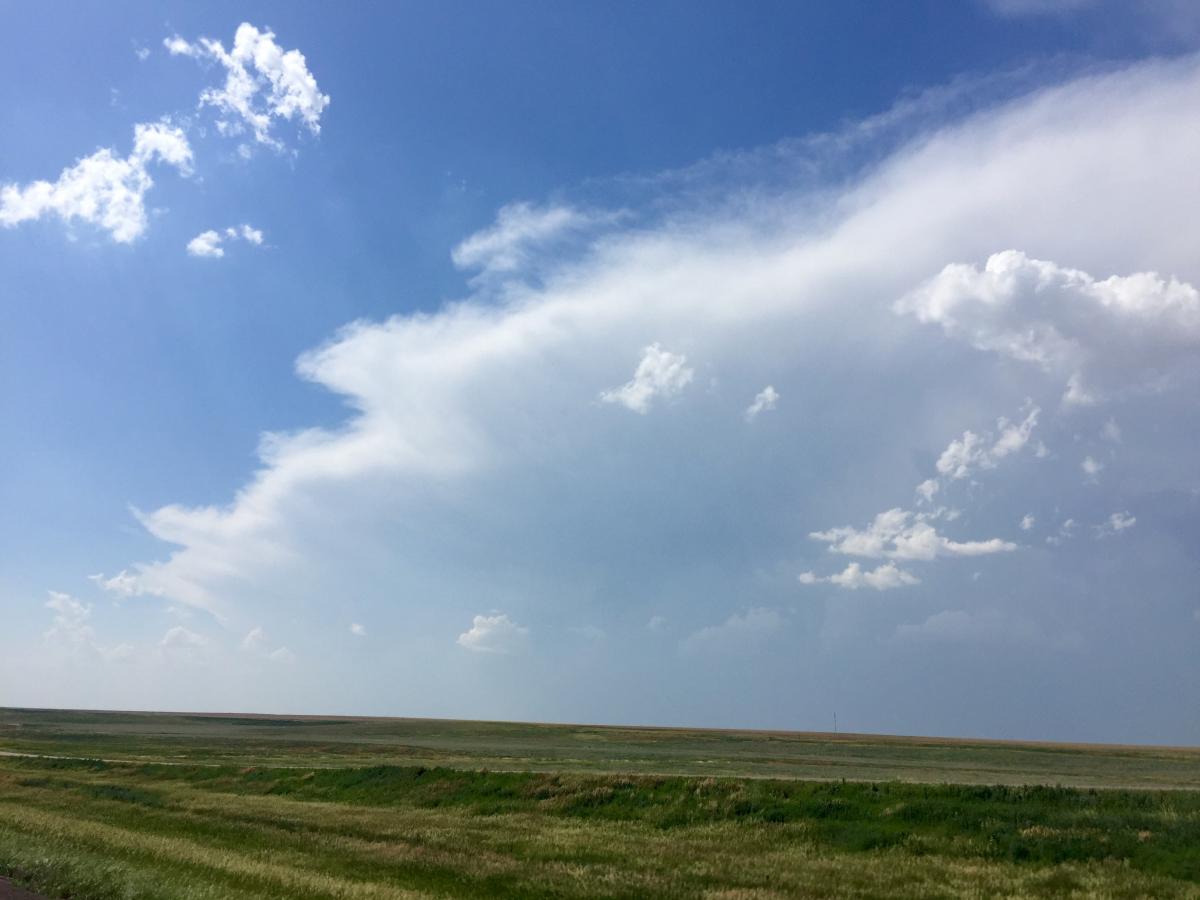
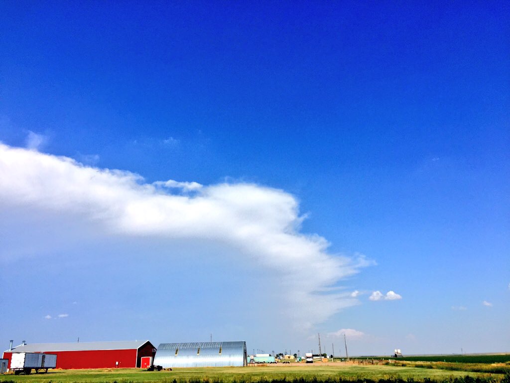
Photos of the previously severe storms in NW Kansas. First was from directly south of them along I70. The second is looking east from Burlington, CO.

.png.b85d5b168fb7f3b794d33bbb19b508a7.png)