All Activity
- Past hour
-
Yeah pretty classic -EPO showing up for the last few days of the month Models at that range did just completely lose a sustained -NAO, so let's see if it hold when we get closer... but it does match weak-negative ENSO/strong -QBO analogs
-

Central PA Fall Discussions and Obs
mahantango#1 replied to ChescoWx's topic in Upstate New York/Pennsylvania
You miss that know it all. You should have taken that individual for a long ride in your truck an dropped it off as unclaimed freight -
Fort Collins up to 75.1 I wish I could turn on the weather magnets and get you guys some rain and snow. My place in Ohio had more snow than Estes Park this week. It wasn't much.
-
Still waiting for my first Snow Squall Warning. I'm surprised how many offices in the Midwest haven't issued one.
-
 When was my winter idea last wrong? You go big snow every year . Waiting for the snowy poem
 -

November 2025 general discussions and probable topic derailings ...
Ginx snewx replied to Typhoon Tip's topic in New England
Lol every year -
^yeah, GEFS and EPS both have a strong +PNA/-EPO developing around Thanksgiving with our -NAO fading away. My instinct is that the PNA+EPO ridging is more useful for our early season snow chances since it’s a more effective cold air delivery mechanism and we need more anomalous BN temps in early December to snow.
-
+PNA pattern trying to build at 384hr on the 18z GEFS. As PSUhoffman posted, we can get snow from this pattern. Let's see if it develops and holds as we get closer
-
Think it was 17-18. Terrible waist of cold.
-
Yeah, hopefully they are overemphasizing it. Could also be the SSW starting to affect the Models. If so, some back and forth and wonky solutions to come as we know.
-
Just checked. Nope, not December 2020. Though this current projected cold looks remarkably similar in its progression. I am looking for the year where an epic December(way better than what weeklies have now) delayed by about three weeks. It might be that late December/early January cold snap where it didn't snow much - 17 or 18'? I remember sitting in a movie theater and seeing the Weeklies flip warm. I know...get a life right? I had been banging the cold drum for weeks, and it was like someone turned the lights off! LOL. Seems like it has been 7-10 years since that time. I can remember really two places where I connect weather models going nuts(good and bad) and a specific location. The other one(besides the movie theater) is in Hampton. We had been back in the boondocks with no cell service. When we got to the hill overlooking Hampton, I got several texts from @tnweathernutw/ snowmaggedon maps that originally included us. To this day, I hate missing a 12z suite because of that. Those maps were flat out nuts. DC got most of our snow, but the model runs for a few days were epic.
-
Exactly. That's my main concern and it's incredibly hard to get rid of
- Today
-
I honestly don't use the MJO much in November and early December. I wonder if modeling is over-emphasizing it. Either way, a delay would probably all for the cold to last into early January - good recipe! I will say that I track an "eastern" cold shot only to have it dump West...and then come eastward around Christmas. It was delayed by about three weeks. I need to check the thread, but that might be the Christmas Eve anafront year.
-

November 2025 general discussions and probable topic derailings ...
alex replied to Typhoon Tip's topic in New England
It just keeps coming…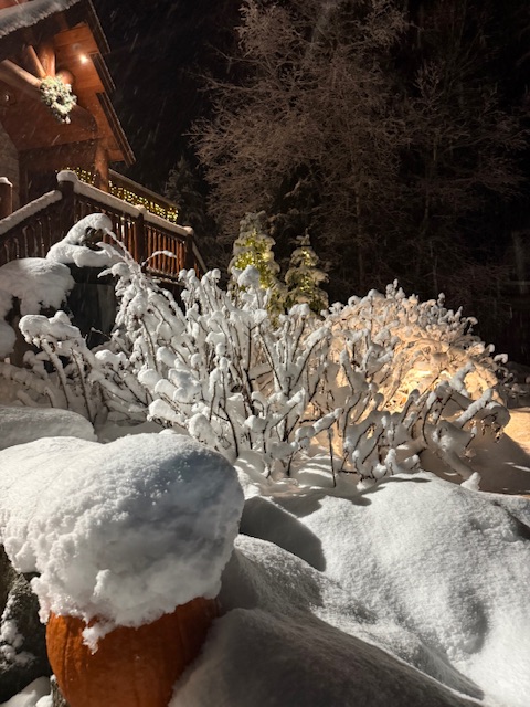
-
Start looking for a house/property E or W of downtown. They ruined 77 north of town (took 3 free lanes to two free, two toll and the free are packed stop/go 24/7, although if you wish to pay to drive I think they average 50 cars a day on the tolled lanes) and about to start the same on 77 south of downtown starting next year (so construction), just a FYI.
-
That’s half a winter month and we only have 3. It better not be that late. I’m actually optimistic for a wild December before Jan furnace
-
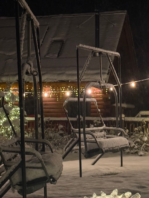
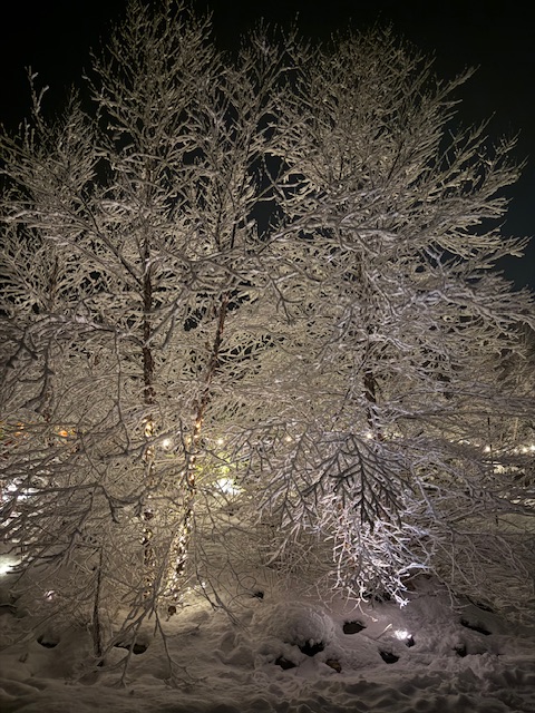
 Mountain folks getting buried by snow, meanwhile I'm still playing golf tournaments and wishing the season wouldn't end.
 -
DCA: 12" BWI: 18" IAD: 19" RIC: 8" SBY: 8" MSY: T
- Yesterday
-
As of 3.52pm PST - McCoy Station at 9600 feet has had some light snow. You can see it on the ground. But everyone below that is rain and deep mud. Mammoth is no longer opening Saturday. They don't know when, what with this humongous rain-filled storm. Contrast McCoy Station at 9,630 feet https://www.mammothmountain.com/on-the-mountain/mammoth-webcam/mccoy-station with the Main Lodge https://www.mammothmountain.com/on-the-mountain/mammoth-webcam/main-lodge and Woolly Cam https://www.mammothmountain.com/on-the-mountain/mammoth-webcam/woolly-cam Main Lodge and Woolly are at 8900-9000 feet and are a rainy muddy mess with nearby higher elevation snows melting fast. This huge moisture laden storm is a catastrophe for Opening Day with tons of fresh liquid rainfall.
-
Tomorrow and Saturday will see highs mainly in the upper 40s to lower 50s. Overall, temperatures will likely remain generally below normal through Saturday. Sunday could turn briefly milder before another cool air mass moves into the region. Some showers are possible on Sunday with the frontal passage, but rainfall totals will generally be under 0.25" in most parts of the region. Temperatures will again top out mainly in the middle and upper 40s through the middle of next week. Meanwhile, today will be Central Park's 1,384th consecutive day without daily snowfall of 4" or more. The record of 1,394 days was set during February 22, 1929 through December 16, 1932. That stretch ended with 6.7" daily snowfall on December 17, 1932. The ENSO Region 1+2 anomaly was -0.2°C and the Region 3.4 anomaly was -0.7°C for the week centered around November 5. For the past six weeks, the ENSO Region 1+2 anomaly has averaged -0.07°C and the ENSO Region 3.4 anomaly has averaged -0.55°C. La Niña conditions will likely continue through at least mid-winter. The SOI was -3.25 today. The preliminary Arctic Oscillation (AO) was -1.651 today. Based on sensitivity analysis applied to the latest guidance, there is an implied 58% probability that New York City will have a cooler than normal November (1991-2020 normal). November will likely finish with a mean temperature near 47.4° (0.6° below normal). Supplemental Information: The projected mean would be 0.3° below the 1981-2010 normal monthly value.
-
Yep. MJO taking control of the Bus. Blocking may mitigate the Heat in the East by squashing the SER. Hopefully that western trough doesn't dig too deep and help the SER hook up with the -NAO. Models are not showing that but after seeing that happen the last several Years it makes it a possibility.
-
.thumb.png.4150b06c63a21f61052e47a612bf1818.png)
November 2025 general discussions and probable topic derailings ...
HIPPYVALLEY replied to Typhoon Tip's topic in New England
I think SNE has to wait until mid December for any accumulating snow. I know that’s climo anyway but I just down see any early jump into winter outside of some passing BN temp days. -
-
Nope not this year Get your shovels ready
-


