All Activity
- Past hour
-
First Winter Storm to kickoff 2025-26 Winter season
Great Snow 1717 replied to Baroclinic Zone's topic in New England
..and why there should be considerable caution regarding putting out potential snowfall accumulation predictions....too early in the "game"... -
-
Nov 28-30th Post Turkey Day Winter Storm
Bxstormwatcher360 replied to Chicago Storm's topic in Lakes/Ohio Valley
Is this storm really supposed to cut up to lake michigan??..it looks like it wants to keep moving east?. -
Time for #2
-

First Winter Storm to kickoff 2025-26 Winter season
CoastalWx replied to Baroclinic Zone's topic in New England
Nam was about to torch to CON at the end. -

Central PA Fall Discussions and Obs
canderson replied to ChescoWx's topic in Upstate New York/Pennsylvania
Everyone (minus Indiana wtf man is going on there) has close calls. If you keep out Texas you’re feeling programs to schedule the School of the Blind and you’ll bet get big OOC again. -

First Winter Storm to kickoff 2025-26 Winter season
dendrite replied to Baroclinic Zone's topic in New England
-

First Winter Storm to kickoff 2025-26 Winter season
CoastalWx replied to Baroclinic Zone's topic in New England
Means nothing until we get into NAM range. -

First Winter Storm to kickoff 2025-26 Winter season
CoastalWx replied to Baroclinic Zone's topic in New England
May as well talk about dews and lawn with that. -
-
First Winter Storm to kickoff 2025-26 Winter season
Kitz Craver replied to Baroclinic Zone's topic in New England
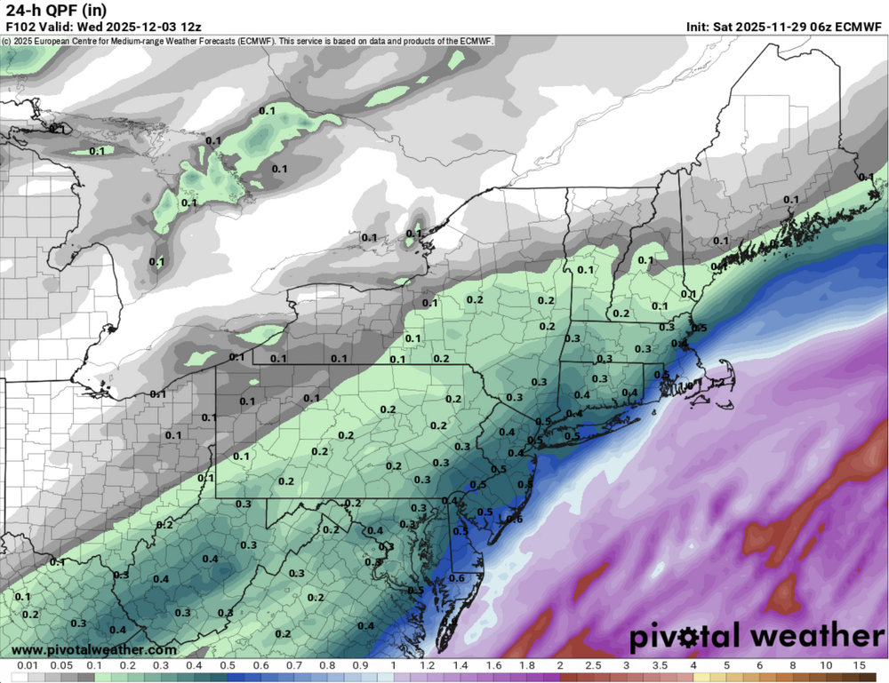
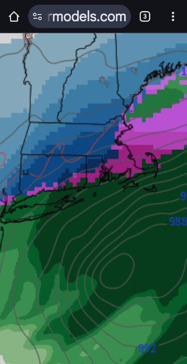
Models still undecided. However, Looks like the EURO is getting flatter while the GFS seems to have somewhat put the brakes on the NW tug. GFS starting to cave? -
This will be the 20th winter I’ve lived in the eastern panhandle of WV. In that time, I’ve had one accumulating snow during the first week of December: 12/6/2009 with 2.9”.
-

First Winter Storm to kickoff 2025-26 Winter season
Ginx snewx replied to Baroclinic Zone's topic in New England
Yes sir. -
First Winter Storm to kickoff 2025-26 Winter season
Kitz Craver replied to Baroclinic Zone's topic in New England
Is that 0z? -
19.6 for the low. Horses broke the chains on two gates. Just shot some fixing them. That’s what happens when you introduce a new one ! It’s cold out .
-

First Winter Storm to kickoff 2025-26 Winter season
Ginx snewx replied to Baroclinic Zone's topic in New England
-
Last area wide thump. .
-
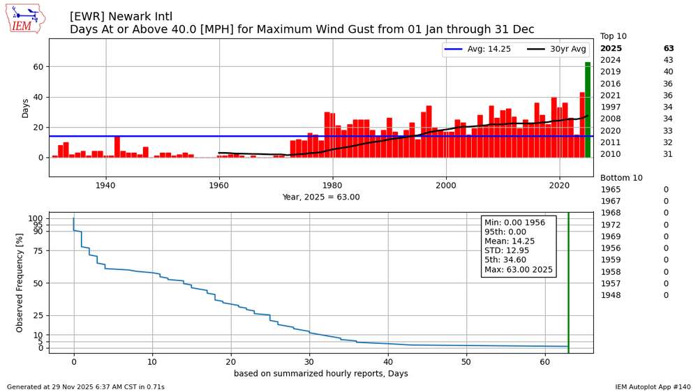
Big story this year continues to be the strong W to NW flow behind the lows racing by to our north. So far this year has had 63 days at Newark with wind gusts reaching 40 mph or higher. This resulted in the impressive sieche on Lake Erie
-

December 2025 Short/Medium Range Forecast Thread
Holston_River_Rambler replied to John1122's topic in Tennessee Valley
To bad its post 240 hours, but that progression on the deterministic 0z Euro was pretty great for East TN and especially the NC mountains. Gawd: And this later in the run especially: The past couple of runs the Euro seems like it is trying to find ways to make snow storms for East TN past 200 hours out or so. Inspired me to take the first season at look at tropical convection mess. And it is a mess: Two tropical critters in the 3/4/5 regions (numbers 1 and 3), one over Darwin (number 5) (probably causing the SOI to jump around when weighing the MSLP of Darwin against Fiji) and some generic tropical convection in regions I've labelled numbers 2 and 4. I think this is likely why the RMM plots are divided. I was ninja'd by Jax while typing, but I like his CHI 200 plots above. Seems like there is a pretty good agreement of movement into favorable phases. Let's see how they look once these tropical critters in the unfavorable phases wind down. -
I’m gonna go with, “we need the rain”
-
What if the ground is too cold?
-
First person to say “the ground is too warm for accumulation” gets insta-banned
-
Nov 28-30th Post Turkey Day Winter Storm
jlauderdal replied to Chicago Storm's topic in Lakes/Ohio Valley
Dont jinx it, we still have to get this thing over the line and produce big totals.

