All Activity
- Past hour
-
What part of Baltimore city? And yep...the Maryland snow elevation cliff if something else, lol
-
It is pretty wild how big the city impact is on temps. I live 9 miles south of my parents, but I’m in Baltimore City and they’re just over the County line. It’s 37 degrees here and 31 degrees there.
- Today
-
Lynchburg got up to 35 degrees, so much for my CAD theory.
-

First Winter Storm to kickoff 2025-26 Winter season
WinterWolf replied to Baroclinic Zone's topic in New England
JAM…for sure. Nothing special anymore unfortunately. -
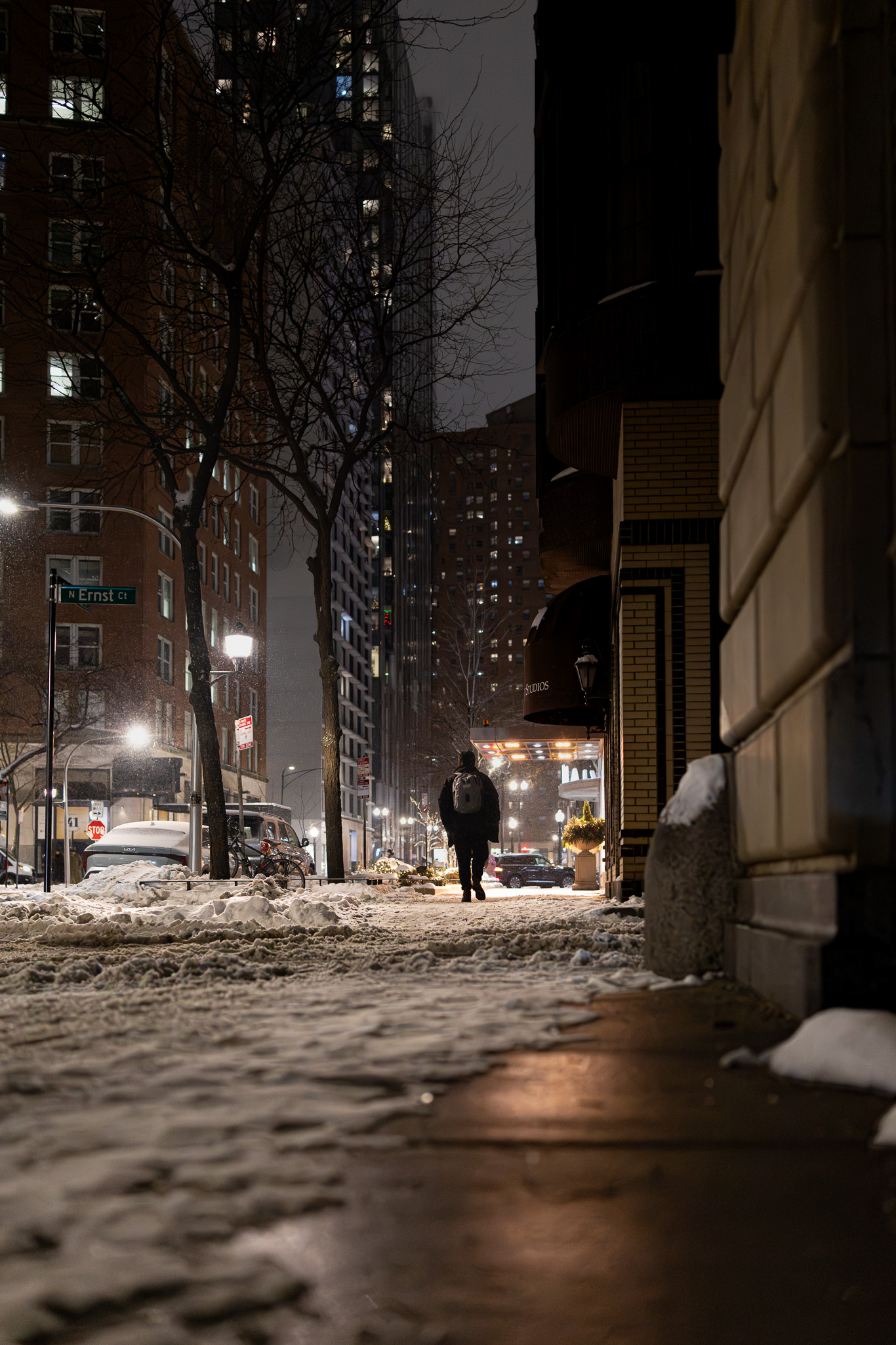
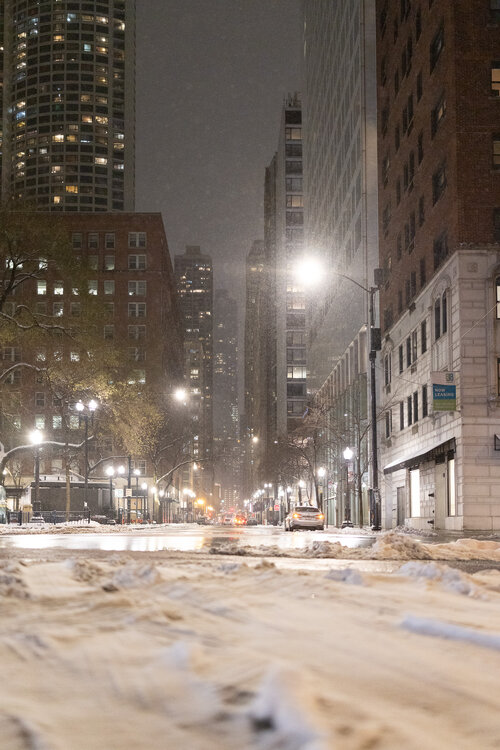
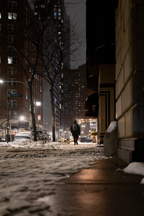
That's a wrap here. Always a treat to have a bonus event. A couple of pics from this evening.
-
And it has started here, as freezing rain and sleet..... oh well. Currently 29.5/25.3. Off for a nap.
-
Kinda ripping. Getting some decent banding considering the high ratio snows. Might get 3”.
-
 Keep in mind the antecedent high pressure is moving away. So it's cold now, but once the HP exits in the next 4-6 hours, temps will rise. WX/PT
 -

December 2025 Short/Medium Range Forecast Thread
John1122 replied to John1122's topic in Tennessee Valley
The models are just chaos still. Near misses, just too warm for snow events, one late anafrontal for the far east on the gfs. They keep attempting to put a huge trough in the west that so far, has never materialized. Looking at the models 10-12 days ago we should have been torching right now with a big western trough and instead it's 37 with rain here and western areas of the forum have a winter weather advisory. -
I believe we will have a winter similar or better than last year. Elizebeth city, NC receiving a half inch of snow in early November is foreshadowing and great Winter.
-

First Winter Storm to kickoff 2025-26 Winter season
WxWatcher007 replied to Baroclinic Zone's topic in New England
Nail the warmth after completely whiffing on temps and then completely crap on itself with Saturday’s light snow that’s now inside 100h. -
Euro 3 inches Friday?
-
.thumb.jpg.6a4895b2a43f87359e4e7d04a6fa0d14.jpg)
Central PA Fall Discussions and Obs
Yardstickgozinya replied to ChescoWx's topic in Upstate New York/Pennsylvania
Don't let it worry you too much, buddy. The magical snow elves operate there dendritic growth factories and mystical snow cannons way way up high in the clouds so that those mean warm nose trolls and their grumpy taint dragons cant melt all the magical snowflakes before they reach Middle Earth. -
Sitting at 29.1/25.0 at 12:45 am. Precip isn't too far off per radar. Checking a bit south nothing reported at Blacksburg at 34/24 although radar has shown precip for last 30 minutes there.
-
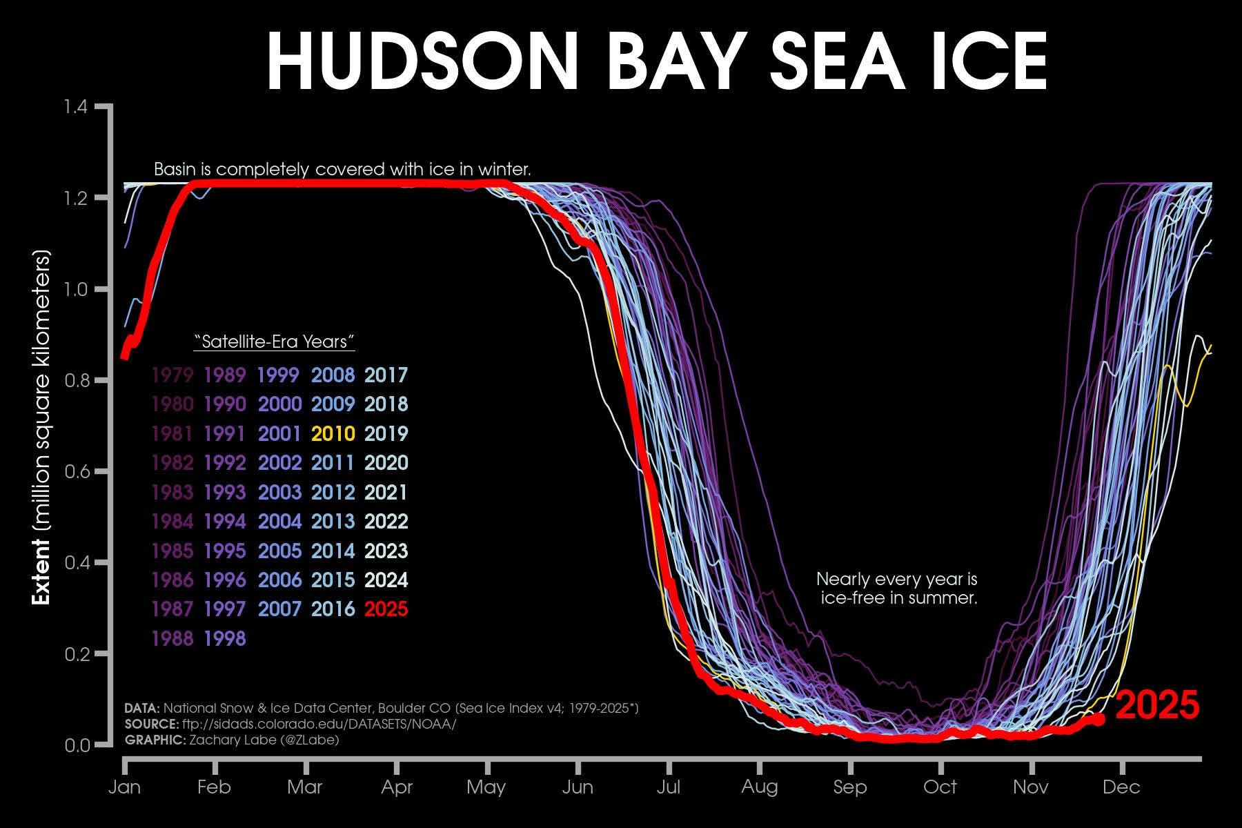
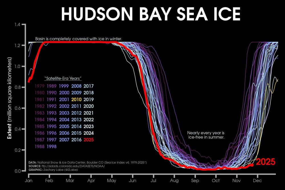
Thought this was interesting. Some mets think that Arctic air masses will modify even more this winter due to the Hudson Bay being almost ice free and having less ice than almost any other year ever
-
Looks like the Indy metro area is cashing in on this one.
-
Stronger southern stream but weaker CAD high and our pesky SE Ridge is still fighting back enough to mess up the cold air transport
-
0z Euro. Very similar to the AI

-
Euro is more amped as well but too warm for most of NC but some ice in CAD regions. Some snow in VA.
-

First Winter Storm to kickoff 2025-26 Winter season
40/70 Benchmark replied to Baroclinic Zone's topic in New England
Funny, no one mentioned the EURO...it ticked a hair warmer. Of course it will nail that trend. -

Central PA Fall Discussions and Obs
CarlislePaWx replied to ChescoWx's topic in Upstate New York/Pennsylvania
I'm following right behind you. Up to 30.6 (from 23.5). However, dp is 23 and wet bulb is 27. I'm pretty sure we'll both drop some once the snow gets going. With a wet bulb of 27, that could pull me back to between 28 and 29. Hey, it still accumulates at 32, and if it falls heavily enough it can still accumulate up to 34. Oh wow, as I'm about to hit send I've now caught up to you...31.1 ! That's almost 8 degrees up from just a few hours ago. In any case, my board is set up for whatever I get, along with my clear vue gauge to melt down at the end. Off to bed for now. I'll see if I can get myself out of bed by 7:00 ish to catch the first hour or two of accumulations. >>PS...Now I'm up to 31.6......ughh...nope...Now up to 32.0. This is ridiculous. Now 32.2. I should have hit send 10 minutes ago...lol. -
0z Euro AI for Friday/Saturday

-

First Winter Storm to kickoff 2025-26 Winter season
TheSnowman replied to Baroclinic Zone's topic in New England
I don’t know WHAT people are talking about with the models changing; Rhode Island was totally screwed days ago, Rhode Island was totally screwed yesterday, Rhode Island is totally screwed today, and Rhode Island is totally screwed with the GFS 0z. NOTHING. Has Changed. -

Central PA Fall Discussions and Obs
Itstrainingtime replied to ChescoWx's topic in Upstate New York/Pennsylvania
Now up to 31.1 - hoping for some cooling at onset of precip. -
Wrong- 19.4/17