All Activity
- Past hour
-
Stronger CME should hit today sometime. So have to see how timing works out with darkness and cloud cover.
-
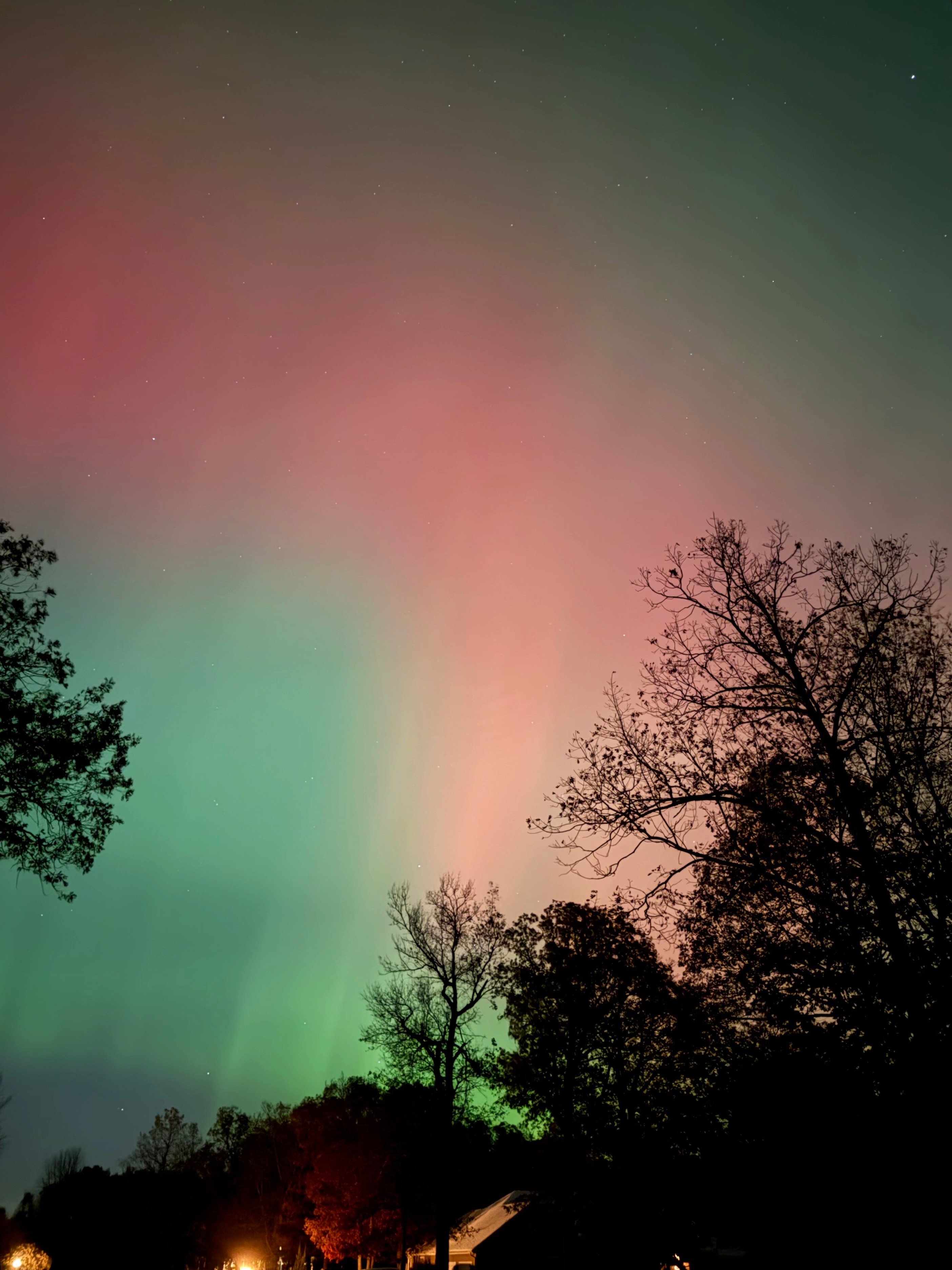
 I have only ever seen Aurora twice before. Once back in the late 1980s but I was in a city and it was meh. Then last October and it was all red but I was in a great spot Last night I could see the greens and reds with my naked eye pretty well. Camera brightens it a bit but still it was quite visible.
 -
Yeah. Neighbor’s porch lights
-

November 2025 general discussions and probable topic derailings ...
TheMainer replied to Typhoon Tip's topic in New England
First inch of snow overnight, only had flurries before. Going to move up driving our field stakes for the snowmobile club by a week cause if we wait the ground is going to be frozen pretty good. First fall since 2018 we won't do it the weekend before Thanksgiving so by pure anecdotal evidence hopefully we'll have a good winter! I'm skeptical about Sunday at lower elevation here in the valley, but up higher might do decent. -
I had various periods of flurries and snow showers during the day. The squall that came through around lunch time dropped visibility to 1/4 mile and left .2 on the board.
-
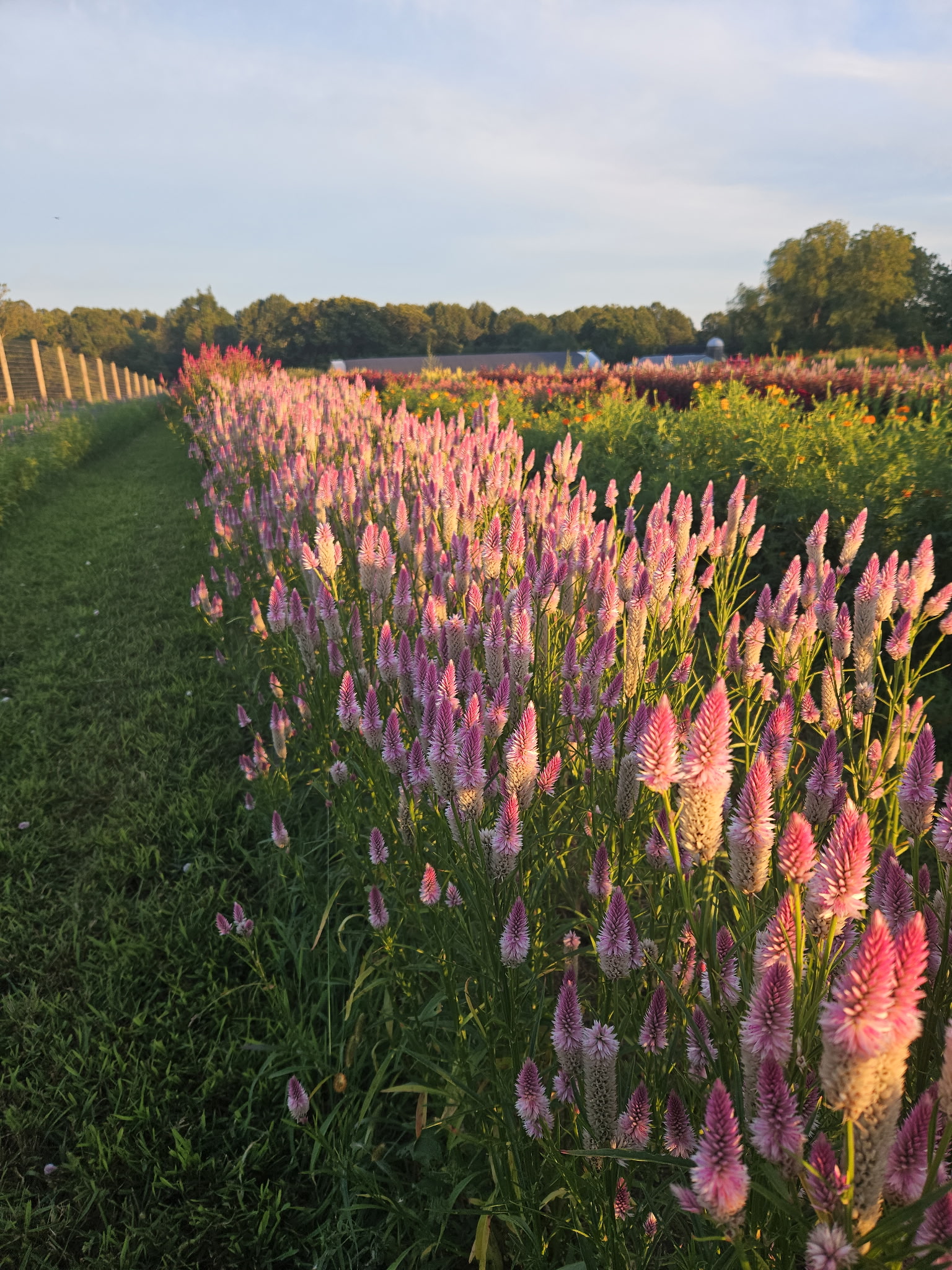
Form Raleigh, NC at the Lake Wheeler Fields south of the city:
-
I got these from the Lake Wheeler Fields in Raleigh:
-
If people are looking for a parade of KU’s up the coast, that’s probably not happening this winter with the Niña/-PMM greatly suppressing and muting the STJ
- Today
-

November 2025 general discussions and probable topic derailings ...
jsw replied to Typhoon Tip's topic in New England
Nice! I lay down to read and fell asleep before 9pm. I have seen the glowing white curtain type, but never bright colors. Thanks! -
Kp spiked at sunset and Bz tanked south most of the night. It’s rare that it ever works out for us that nicely. Too bad the clouds have been a bit of a pain.
-
What one of the fields looked like in August…

-
I mean, I can almost see the bal co line from the farm… if the forum ever wants to try another get together, late July - early September is beyond gorgeous on the farm with all the flowers fields fully ablaze- some coolers of beer and a grill and it would be a fun place to gather for a bit - and Boordy is just three miles down the road too…
-
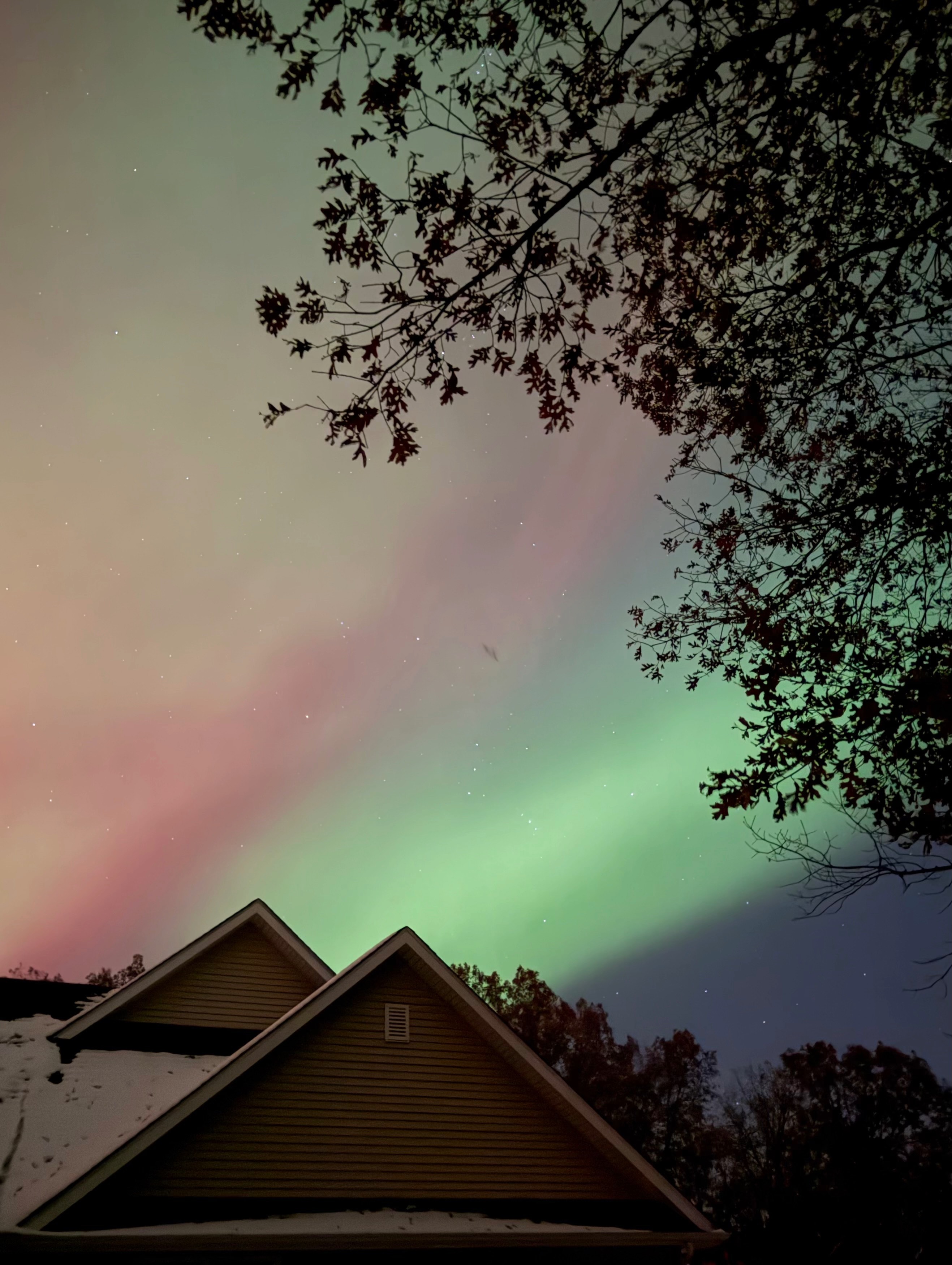
Got some good shots on the WV VA border but missed the substorm by 20 minutes
-

2025-2026 ENSO
Stormchaserchuck1 replied to 40/70 Benchmark's topic in Weather Forecasting and Discussion
@brooklynwx99 Has 500mb maps of days leading up to NYC 18"+ snowstorms.. it has a real strong Aleutian ridge (I think near +150dm) a few days before.. along with a -NAO. -

Central PA Fall Discussions and Obs
Voyager replied to ChescoWx's topic in Upstate New York/Pennsylvania
Yup. I was up there yesterday and can verify. I was estimating from the windshield of a Mack truck, but I mentioned in my upcoming video that it looked like at least 2 inches along I-81. -
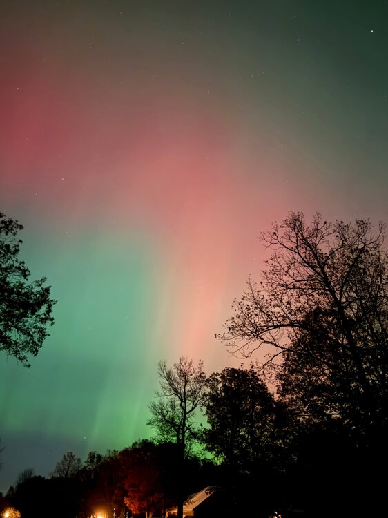
Just some more compressed iPhone pics. Possibly at risk of spamming, but this event was incredible. First was ~10:37P when things were really starting to dance. Quick movements of pillars and bleeding of vibrant reds/greens. View is to the north. Second picture is at ~10:43P and looking to the SE. The contrast of the vibrant green “snake” leader was…something. Spook-and-awe.

-
Same here lol
-
Another impact will happen from the X5 flare earlier. The impact from the X5 flare was actually forecasted to be the strongest. From the two CME’s that led to tonight’s show, forecast was for G3 @ 7+ KPI. We got to G4 @ what looks like at this point 8+/9-. Tomorrow had been forecast G4 at 8/8+. All to say, some thought is that tomorrow will end up being even more extraordinary. The downside is that (1) peak is projected during daylight hours, (2) clouds will be a problem for many in the sub during the nighttime hours.
-
Saw a few flakes walking to my car during lunch break at work
-

11/8-11/10 First Snow and Lake Effect Event
Snowstorms replied to Geoboy645's topic in Lakes/Ohio Valley
3.9" fell on Sunday. The 2-3 day total is 5". I think we broke the daily record at YYZ. -
.thumb.jpg.6a4895b2a43f87359e4e7d04a6fa0d14.jpg)
Central PA Fall Discussions and Obs
Yardstickgozinya replied to ChescoWx's topic in Upstate New York/Pennsylvania
First flakes of the season are falling here in New Cumberland atm.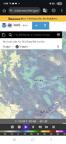
-
Flurries in Potomac
-
 WxWatcher007 changed their profile photo
 -
same. finished with some nice -SN. first snow of the season!
-
Barely counts but pretty sure it was snow.
-
Deep winter feel at WXW2 and I love it