All Activity
- Past hour
-

12/3 Snow/Sleet/Mix Bag of Everything Discussion/OBS
KamuSnow replied to Mikeymac5306's topic in Philadelphia Region
Same here, was looking for some flakes but nah... 33F here, dp is still 22. -
Ya it might completely collapse if it got a few inches of snow on it
-

First Winter Storm to kickoff 2025-26 Winter season
MarkO replied to Baroclinic Zone's topic in New England
Woke up hoping for some model guidance resolution. I first checked the NAM with 2" dang it, GFS still showing 10. Talk about a now cast. NWS split the difference. Still holding out this thing bombs this afternoon. I'm good with whatever happens. Looking to ski this weekend, but I also got a lot of surveying fieldwork, but it aint gonna get done today. -
I bottomed (giggity) out at 24 in Westfield, was 26 whn I left the house. 27 in Simsbury. The school system is closed along with many others in this area.
-
The chart I posted has global numbers. The US is lagging. We have large import duties on solar, and EVs from China making our costs higher than the rest of the world.
-

Central PA Fall Discussions and Obs
mahantango#1 replied to ChescoWx's topic in Upstate New York/Pennsylvania
Snowing here. -

12/3 Snow/Sleet/Mix Bag of Everything Discussion/OBS
BBasile replied to Mikeymac5306's topic in Philadelphia Region
Rain just started here with a few pingers mixed in. 32.9F -
Was wondering what that sliver band over RI was dropping.
-

First Winter Storm to kickoff 2025-26 Winter season
UnitedWx replied to Baroclinic Zone's topic in New England
Lots of schools closed this morning in the northern CT area. Works for me, I have a ton of maintenance in on of the districts -
 It's still at freezing here. The gradient is crazy from the water even at coney island to yonkers,ny. Our winds are still northerly here though. It's keeping that cold air right at the cont shelf.
 -
By 2-3pm it will be sunny hopefully and get in my daily oldster walk outside since I'm not going to the mall. Lol
-

Central PA Fall Discussions and Obs
MAG5035 replied to ChescoWx's topic in Upstate New York/Pennsylvania
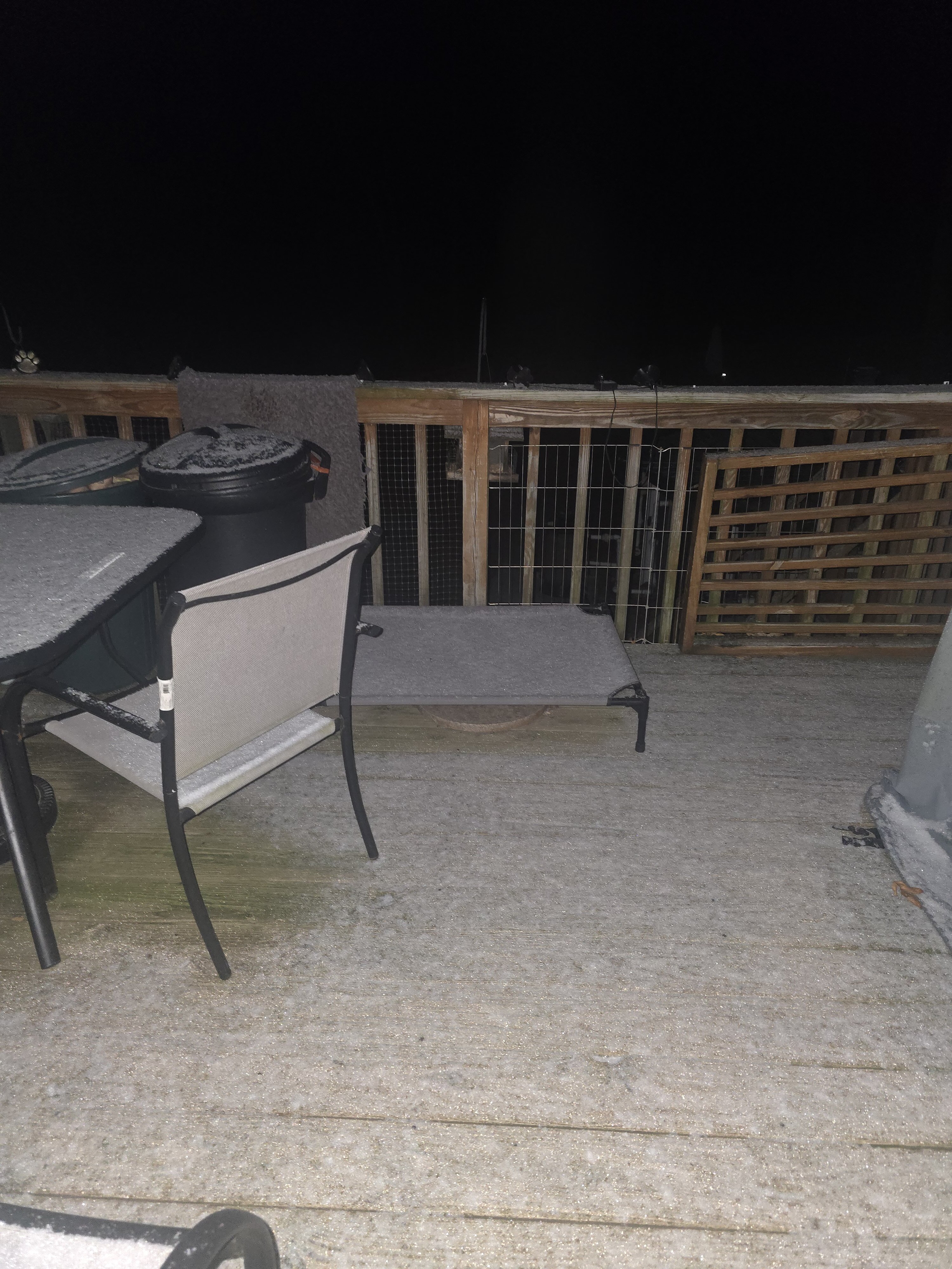
Already looks to be about 1.5” here and snowing pretty good. I’m at hunting camp over in Spruce Creek (NW Huntingdon Co). Looks similar at home, temp is 28ºF. -
Had light snow covering.woot woot 28⁰

-
Maybe we will pick up an inch of sleet instead lol
-

December 2025 regional war/obs/disco thread
Damage In Tolland replied to Torch Tiger's topic in New England
1-3 “SNE Saturday ? -

Central PA Fall Discussions and Obs
Jns2183 replied to ChescoWx's topic in Upstate New York/Pennsylvania
Temperature has fallen from 32 to 28 currently Sent from my SM-S731U using Tapatalk -
31/24
-
Did it ever. Here's the 6z forecast hot off the presses. 2"+ for me after the reality of 1/2"+ eyeballing it.
.thumb.png.e72535a71cedbc9783cff27bb0b2003f.png)
-
Looks like it will sleet here for at least another hour or two.
-
 My weather station on Fire Island has seen the temperature jump from 37 to 44 in the past 45 minutes. Winds have shifted from ENE to ESE. Bottom line is the stage is set for rapid warming in the boundary layer for coastal areas this morning.
 -

12/2 Cold Rain and High Elevation Snow
SomeguyfromTakomaPark replied to WxUSAF's topic in Mid Atlantic
Euro and euro AI sucked with this event btw, Euro Ai ensemble snow output had dc with like 5 inches up until a few days ago. -
0.7” on the snow board. Now a mix of sleet and freezing rain at 32°. Sidewalks and pavement just a little crunchy.
-

Central PA Fall Discussions and Obs
CASH_COOP replied to ChescoWx's topic in Upstate New York/Pennsylvania
It’s sleet in Carroll Valley / Fairfield area. Less than 1” snow -
It had me with 6" today until last night's 0z when it lowered me to 5", then 4.5" at 6z. After 1/2"+ this morning, I went to sleet. Not saying it'll be wrong. But the bottom line is we need all the models on board, or what can go wrong will.
-
First Winter Storm to kickoff 2025-26 Winter season
Damage In Tolland replied to Baroclinic Zone's topic in New England
Why dos Ray’s final map have 2-4” here? Cannot figure that out .


.png.ea8c4d81f527eeac16c2fda91fb81fa4.png)
