All Activity
- Past hour
-
That being said, this stationary snow hole is pissing me off.
-
Been a good while since I posted but have been following everyone in here. Won’t get my hopes up until we’re like 24 hrs til the event as the medium and long range lately is what nightmares are made of, from a weather enthusiast standpoint, where you get pumped and in comes the deflating moment. Anyhow Sunday into Monday offers an even greater potential for our neck of the woods.
-
Does anyone know how to successfully embed links to gifs or images into posts?
-
About three & a half inches near Lakewood Park. The temperature is only 34 or 35¯F, but it's melting like crazy.
-
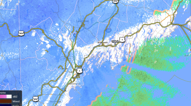
in a bit of a lull right now but no signs of any pinging which is great as I would expect mixing to become more probably with lighter intensities. radar looking good though off to the southwest
-
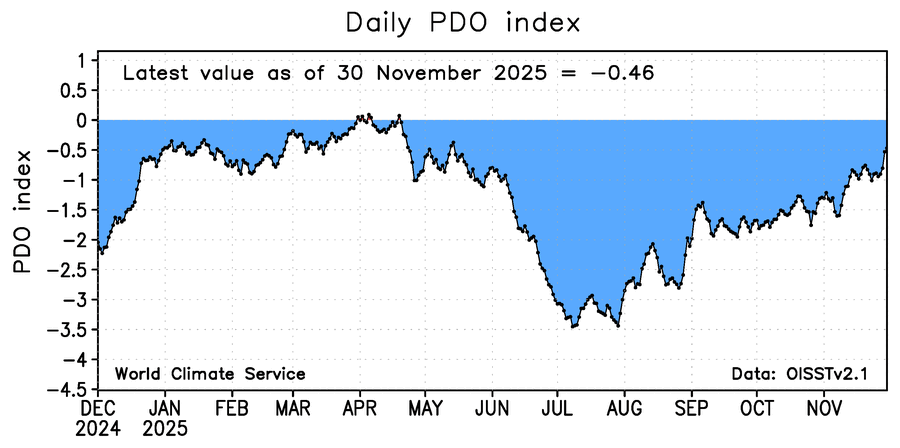
The updated PDO (for 11/30) rose some more to -0.46 (from -0.51 on the prior day):
-

First Winter Storm to kickoff 2025-26 Winter season
QuietCorner replied to Baroclinic Zone's topic in New England
Woke up to a dusting here in NECT but now it's all gone to rain thus far. -
Looks like the GFS/Euro/Ukmet try to tee up Dec 9th as well. This would coincide with the MJO entering Phase 8, the PNA shifting slightly positive, and the NAO shifting slightly negative as well.
-
Hold tight.
-
@BornAgain13 I feel like with as many times as the models have let me down in the medium to long range I won’t believe this actually happens until everything is still onboard Thursday night. Monday actually looked super interesting on the GFS.
-
If you hate twitter so much why not just stay off it? You know the deal with twitter and what kind of people are pushing these agendas. Everything is exaggerated to being historic or record breaking, that’s what gets clicks.
-
Too soon.
-
Almost 5”.
-
mixing here now, 30/28
-
Decent hit in the Berks (Lenox). Meh rates, should get to around half a foot.
-
Is that flip going to happen down this way? Or too little too late?
-
So funny how the "Denier" posts always get shitposted here, but like I've said a million times, there are plenty of trash climate activist posts to equal the denier crap. The people here fall hook, line and sinker for those, it is pretty funny.
-
mix line punching north, almost here.
-
Twitter hasn’t been so confident in a record-breaking, earth-shattering, historic, guaranteed, once in a lifetime, “one to tell your Grandkids about”, “buckle up, get sleep now, it’s coming” severely cold and epically snowy pattern coming for the NYC metro area since…..December, 2022…..
-
All while this site chokes on too many weenies. Still moderate snow in Westfield
-
Not very exciting at work here in PWM. Lousy growth and maybe 1".
-
12z CMC Ensembles increased for the Friday event. 12z EPS similar to 6z. Most models have at least something light for Friday except GFS/GEFS.
-
27.5° NE wind starting to blow the snow around a bit 3.8 inches so far, no mixing yet
-
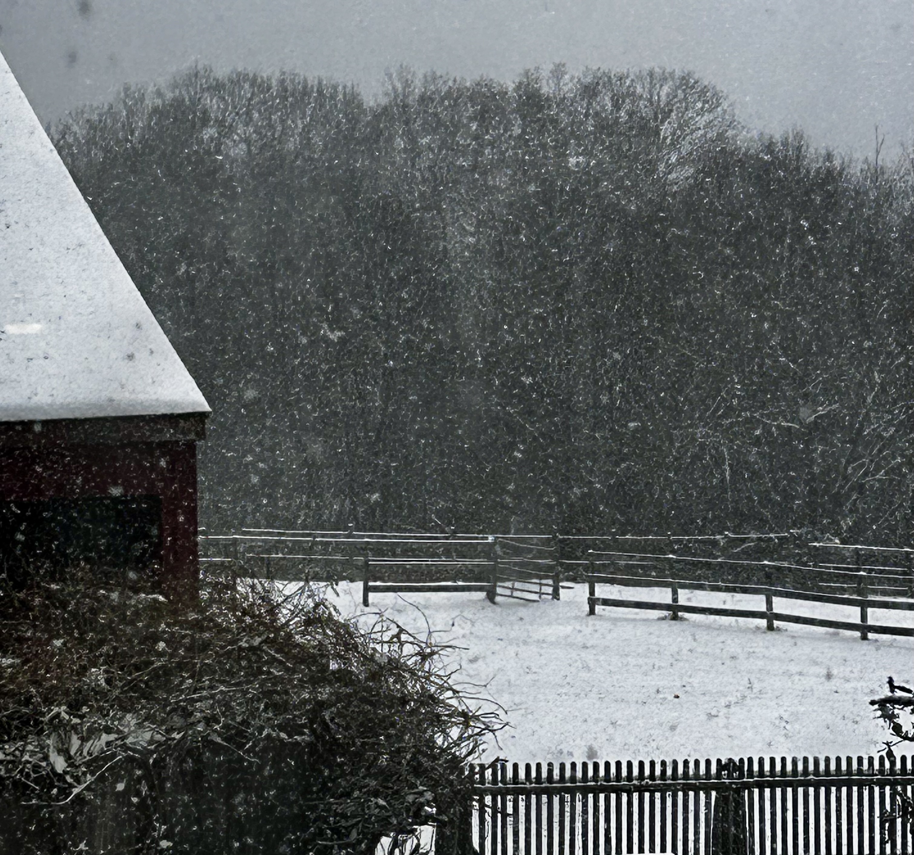
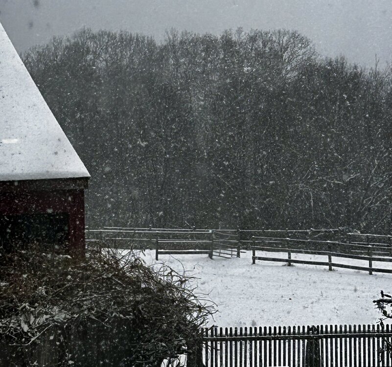
It's been snowing here off and on all day. Mostly sticking to the trees which is pretty.
-
The low as depicted is somewhat se and we need it more like around Norfolk rather than central outer banks.