All Activity
- Past hour
-

Kick-Off '25-'26 Winter Storm Obs
CT Valley Snowman replied to 40/70 Benchmark's topic in New England
up to 31 here with zr. -
Congrats Dendrite foot incoming? Wet?
-

First Winter Storm to kickoff 2025-26 Winter season
NHsleder replied to Baroclinic Zone's topic in New England
Just shy of 3" so far here in the hills of Windham, Maine. Expecting 8 or so. -
Back in business, finally. Flakes growing, intensity building, visibility dropping. The trifecta. 26*
-
 30 w/ light sleet 4” snow/sleet
 -

Kick-Off '25-'26 Winter Storm Obs
Damage In Tolland replied to 40/70 Benchmark's topic in New England
My 32.9 rain will get even heavier. Great news! -
Plows out and about in Westminster, coming down nicely. Eyeing over 3". GWLH.
-
Looks like we've switched to straight freezing rain here. Seems to have switched over as soon as that heavier band of precip over central MA moved in.
-
Accuwx take
-
18z NAM collapses the cold air south and enhances the qpf so that we could get 2-3 inches on and after midnight in this area.
-
Yes its filling back in.
-
This is 10000000000000000% better than the constant barrage of snow maps
-
Sorry for a bit of mesoscale PBP, but yeah, it's coming. 850mb banding is about to start cranking, huge fronto uptick over the Southern Hudson Valley
-

12/3 Snow/Sleet/Mix Bag of Everything Discussion/OBS
Birds~69 replied to Mikeymac5306's topic in Philadelphia Region
Stumbling jumbling people coming out of that joint don't kid yourself. Anyhow where is the line when it's ending I'm confused?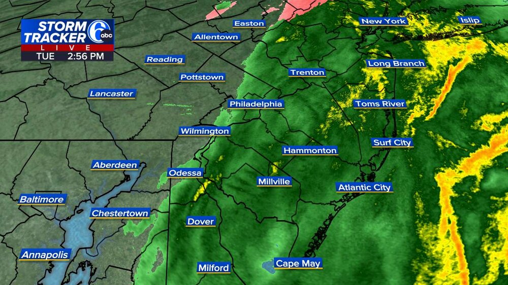
-
It’s still only 33 in Hanover. Course it would be 1 degree off from being all frozen lol
-
Looks like clippers
-
I assume we’ll get some of the CF enhanced stuff.
-
Very impressive band over Albany right now, this is likely more associated with the cyclone starting to get it's act together rather than the WAA forcing we've seen to this point
-
Based on the last few weather tap scans, I might be back in business in a few minutes. Kind of suddenly appeared rather than advanced north.
-
I hope for you it doesn't, but it seems to be marching north. I just hope it remains below freezing at the surface. OF course I'm still holding hope it could bomb out but this system just lacks the dynamics.
-
Yeah last year NYC was able to get 1-1.5" of snow a few days before christmas and then christmas eve as well. Light, clipper like events. I don't think any vortex will dig down deep enough to bring big snow to Northeast this month because it's very northern stream dominant at the moment, but you can always get a little clipper/cold front related snow action
-
30/28 -SN 2.0" total so far.
-

12/3 Snow/Sleet/Mix Bag of Everything Discussion/OBS
RedSky replied to Mikeymac5306's topic in Philadelphia Region
Never thought about it before but screenshot the image might work -
A Dec 14 - 17 warmup would be an improvement on the annual Dec 22 - 25 torch.
-
A public storm report from within the area of Narrowsburg has 8”, so a consistent rate of at least 1” an hour since about 7:15 am. Haven’t seen a blitz quite like this since 3/14/17 or Feb 2021–and those were 2-3 times larger totals wise.


