All Activity
- Past hour
-

First Winter Storm to kickoff 2025-26 Winter season
CoastalWx replied to Baroclinic Zone's topic in New England
Yeah the Nam is classic zonked I think. -

Nov 28-30th Post Turkey Day Winter Storm
Chambana replied to Chicago Storm's topic in Lakes/Ohio Valley
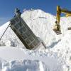
https://www.spc.noaa.gov/products/md/2025/md2240.html hotness. Best November storm of my life. No doubt. -
First Winter Storm to kickoff 2025-26 Winter season
8611Blizz replied to Baroclinic Zone's topic in New England
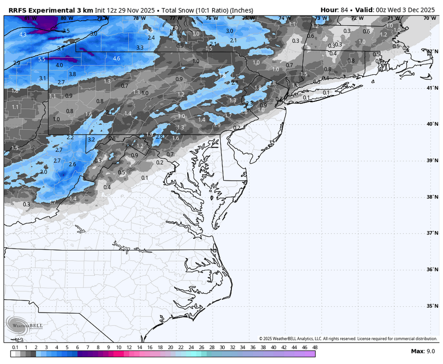
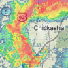
If I could bet on that map I'm hammering the under for Boston. -
First Winter Storm to kickoff 2025-26 Winter season
radarman replied to Baroclinic Zone's topic in New England
Stratton just exhaled -
Yeah the latest guidance has a weaker than average polar vortex into mid Jan.
-
Mid to long range discussion- 2025
WinstonSalemArlington replied to wncsnow's topic in Southeastern States
Prepare to Qualify -

First Winter Storm to kickoff 2025-26 Winter season
WxWatcher007 replied to Baroclinic Zone's topic in New England
At hr 75 or whatever it is, we look but do not endorse regardless of whether it’s snowy or not. If things trend that way over the next day, then we sit up a little more. -
First Winter Storm to kickoff 2025-26 Winter season
Great Snow 1717 replied to Baroclinic Zone's topic in New England
" 1st Guess" ....lol -
Digital Snow/Ice Thread 2025-2026
WinstonSalemArlington replied to WinstonSalemArlington's topic in Southeastern States
-
First Winter Storm to kickoff 2025-26 Winter season
78Blizzard replied to Baroclinic Zone's topic in New England
I probably just jinxed the storm - just finished putting snow stakes along the front lawn near the street and test fired up the snow thrower. -

First Winter Storm to kickoff 2025-26 Winter season
ORH_wxman replied to Baroclinic Zone's topic in New England
I’m tossing the NAM. Even the crazy GFS runs weren’t that amped. -
who do you think has a better handle on the solution right now?
-
That area is where the drop in elevation starts out of Winchester. Could very well be wrong, but this setup has happened historically, much to your chagrin, so I went that route. I do think you could see an inch out that way, but better chance just north.
-
20.8 for my low this morning.
-

December 2025 regional war/obs/disco thread
WxWatcher007 replied to Torch Tiger's topic in New England
December of yore -
Quick question, does anyone have suggestions for good YouTube weather forecasts? I watch WXrisk with DT. I was wondering if anybody had other people who do the overall picture as well.
-

First Winter Storm to kickoff 2025-26 Winter season
ineedsnow replied to Baroclinic Zone's topic in New England
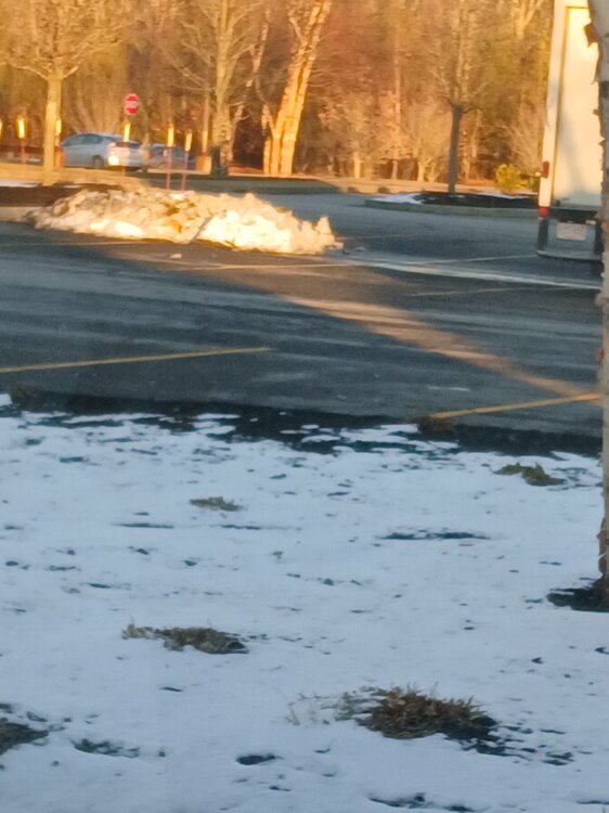
Just got to market basket in Athol.and noticed they must of plowed last night.. Hopefully we can add bigly to that pile -
-

Nov 28-30th Post Turkey Day Winter Storm
Harry Perry replied to Chicago Storm's topic in Lakes/Ohio Valley
We about to be rockin’ -
E PA/NJ/DE Autumn 2025 Obs/Discussion
JTA66 replied to PhiEaglesfan712's topic in Philadelphia Region
This time of year, I’d be happy just to see flakes fly regardless if they amount to anything. -

First Winter Storm to kickoff 2025-26 Winter season
radarman replied to Baroclinic Zone's topic in New England
toss at your peril -
Aren't the NAMs going away next month? I don't know why they don't just put them to rest.
-
now watch the next Euro's suite only bring the precip as far north as southern NY state - something is seriously wrong with some of these models..........is it GIGO (Garbage In/Garbage Out)??
-
First Winter Storm to kickoff 2025-26 Winter season
Snowcrazed71 replied to Baroclinic Zone's topic in New England
Yeah, I would toss that... Maybe I'd take the Nam more seriously tomorrow night -
E PA/NJ/DE Autumn 2025 Obs/Discussion
simbasad2 replied to PhiEaglesfan712's topic in Philadelphia Region
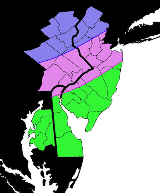
Drew up this quick map to outline some of my thoughts for this storm. Constructive feedback is appreciated! Blue - All Snow expected, accumulations around 2-4" localized 4"+ Pink - Snow, mix, and rain expected. A sharp cutoff will develop here and a slushy 0-2" will fall before changing over to rain, some of which could be heavy Green - All rain. Perhaps maybe a light mix at onset but this will quickly change over. Air temps closer to the shore could even reach into the lower 50s. Some rain could be heavy at times


