All Activity
- Past hour
-

Mid to long range discussion- 2025
WinstonSalemArlington replied to wncsnow's topic in Southeastern States
Happy Hanukkah -
30/28 -SNPL 3.0" total so far. Looks like some solid echoes are about to move in, but I feel like we're going to be dancing with the mix line for the next several hours now.
-

Central PA Fall Discussions and Obs
canderson replied to ChescoWx's topic in Upstate New York/Pennsylvania
I highly recommend the Ego power shovel or snowblower. Used it today and it was a dream. -

12/3 Snow/Sleet/Mix Bag of Everything Discussion/OBS
Kevin Reilly replied to Mikeymac5306's topic in Philadelphia Region
Drizzle chilly north wind 36f humidity 99% dew point 36f Picked up a trace of sleet three snowflakes and 1.00" of rain on the button. We had more snow here Sunday morning LOL The way I see it we just missed out on 10" of snow. We just could not hold onto the high that slipped away to the east it's a common theme! Please stop! Another common theme is the always present low pressure over the Great Lakes Please stop!! Oh well onto the next. -
Tbh that wave has nearly infinitely more potential as it’s not 3 separate ones in a trench coat pretending to be a real storm
-
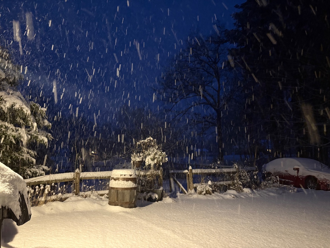
Getting into some heavier 20dbz rates now, -SN, 22/21°F, 4.8" snow
-
Not last year. We had a white Christmas, some of us, snow on Christmas Eve and sub zero morning two days before Christmas day. NYC was 13 degrees on the 22nd and 23rd.
-
Your answer is more than likely dead on correct. This storm never really got going nor had the dynamics to it. Relatively poor model performance from both medium and short ranges.
-
Just can't win....I manage to pull out a victory over the ocean in early December, and the mid levels pork me. How many ways to suck a d1ck...Mother Nature intends to have me find out.
-
Agreed. Heavier rates with the high still in a decent spot Friday morning would most certainly mean snow for the northern half of the state. Timing (earlier) rates (heavier) are keys
-

2025-2026 ENSO
PhiEaglesfan712 replied to 40/70 Benchmark's topic in Weather Forecasting and Discussion
I assume you mean 2023, instead of 2019. -
See, I told you it was too soon.
-
FTW: Tonight Snow and rain this afternoon, then snow. Additional snow accumulation of 5 to 8 inches. Total snow accumulation 3 to 8 inches. Lows in the mid 20s. North winds 10 to 15 mph. Chance of precipitation near 100 percent.
-
I’ll be honest, I’m more concerned about moisture than thermals. It’s just such a strung out suppressed mess. I think a good chunk of NC would have the temps to support snow, especially early, but we just can’t seem to get that moisture transport northward.
-
We need heavier precip. Light rates= brown ground
-
12z Friday it’s gone from 41 to 36 in Raleigh over the last 4 runs that’s not a small tick
-
Gfs may be more interested in the follow up wave (dec 8-9)
-

-
Wankum is such a dipshit..."The snow didn't really add up because of the warm ground since we just came out of all"...either that, or snow growth was putrid and it changed to ice and rain
-

Kick-Off '25-'26 Winter Storm Obs
TauntonBlizzard2013 replied to 40/70 Benchmark's topic in New England
I’ll be honest. I’m having a tough time imagining/ finding anything that would point to anything more than a few flakes to end here. -
Still ticking colder every run
-
Yeah I assume I’ll pass 6 inches but it might be painfully slow. But Jeff is getting the whole hog.
-
Token flakes north of I-40, but the gfs continues to be unenthused
-
0.88” Columbia
-

Kick-Off '25-'26 Winter Storm Obs
Damage In Tolland replied to 40/70 Benchmark's topic in New England
I’ll plan on the HRRR I guess. Today was one of the worst and most frustrating days of my wx life . 32. Something all day with rain .


.thumb.png.4150b06c63a21f61052e47a612bf1818.png)