All Activity
- Past hour
-

Winter 2025-26 Medium/Long Range Discussion
A-L-E-K replied to michsnowfreak's topic in Lakes/Ohio Valley
looks like about a week of dusters at best before any waves of note are modeled in the vicinity -
0.7” before changing over to sleet
-
Warmer temperatures will probably start pushing a bit farther north and west over the next hour or two as the sfc low and 925/850 lows really develop. But I think there are positive trends with the flip back this afternoon. This tighter thermal gradient too may also help to really beef up rates for areas that can stay all snow and under the fronto band. This is definitely going to net some (positive) surprises in spots
-
This one actually has legs imo. Southern slider, high in a decent position and the energy is digging more each run. For what it’s worth, this is the timeframe @griteaterloves.
-
I had the same moment as I looked into the sky and smiled drinking ipa enjoying giants loss.
-
2” hmmm
-
GGEM closer to something early next week as well.
-

Central PA Fall Discussions and Obs
Jns2183 replied to ChescoWx's topic in Upstate New York/Pennsylvania
That man dislikes snow like @Voyager dislikes an ice storm when he's driving Sent from my SM-S731U using Tapatalk -
We're over 2", temperature has dropped to 28f.

-
I work in West Hartford and it had been sleeting for quite a while, about half an hour ago it went over to snow and everything's covered, back to sleet/snow mix. I hope it's one of those surprises where it doesn't turn to rain, but I'm still going with it's turning to rain so I don't get disappointed LOL
-
Just drove through the rain/snow line, situated exactly at exit 127 on rt 2. Here’s to it staying put
-
Storms like this are always tricky. Even 1 or 2 degrees in marginal setups like this makes a huge difference for areas on the edge.
-
HRRR with sig. better outcome for 495 belt than previous hour. Let’s see if it keep ticking colder
-

Central PA Fall Discussions and Obs
Mount Joy Snowman replied to ChescoWx's topic in Upstate New York/Pennsylvania
Wait, did Donegal have school? My wife is telling me they are closed. -

Kick-Off '25-'26 Winter Storm Obs
Damage In Tolland replied to 40/70 Benchmark's topic in New England
should be all rain soon. Temp is soaring to 31.6 . My own personal hell Valley will get an icestorm , NW CT 6-8” snow and a 33 rainer here -
Looking at possibly 3” but that back end is chugging. Will be done by sunset most likely.
-
HRRR getting better with happy ending. Please something go right.
-
1.5 inches so far in Agawam, MA. Local mets say 1-3 inches

-
Was busy doing work and missed some sleet/graupel earlier. Not doing anything at the moment. 33.4*
-

2025-2026 ENSO
LakeEffectOH replied to 40/70 Benchmark's topic in Weather Forecasting and Discussion
IMHO, BAM does a really good job in explaining what may happen. BAM is also not afraid to not make changes to their forecasts/outlooks if the situation warrants. At this time, BAM is more midwest centric, but recently, they've spending more time discussing the eastern part of the US. -
GFS says No to Friday but brings in the goods Sunday! Big SnowStorm for Northern NC into VA
-
Half inch of dense frozen white stuff with layers of snowflakes! Yay. Well, better than white rain I guess *shrug*
-
Is this cold eventually going to be scoured out? Or can we hang on to a mix for the duration?
-
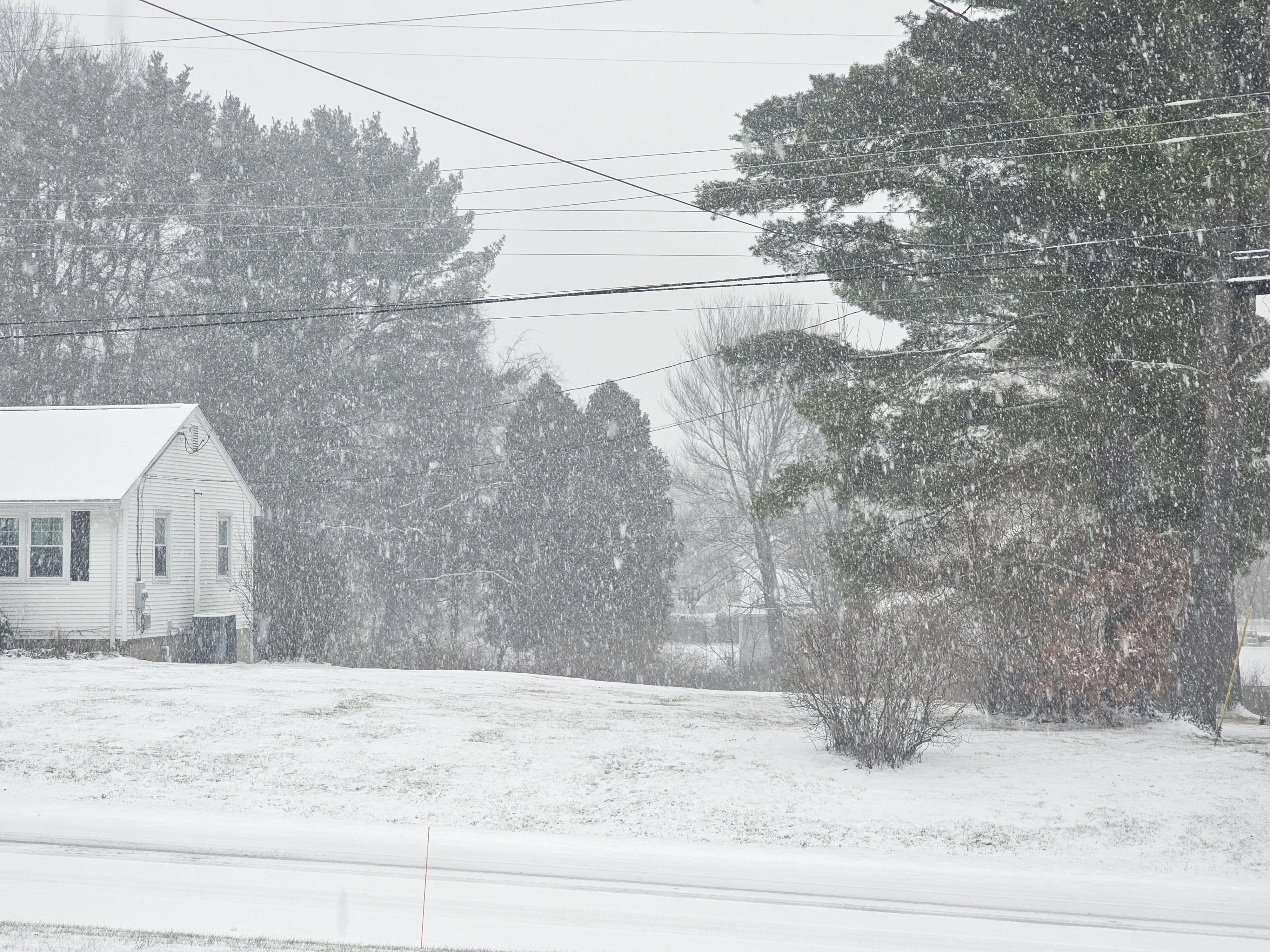
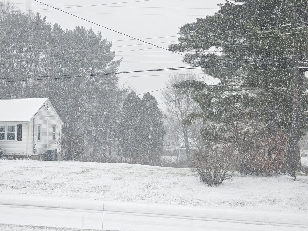
Looking more event-worthy this hour ... 27/24 Vis est .5 m No wind; straight down fall Aggregates uniform and small/mid. <=1" acc
-
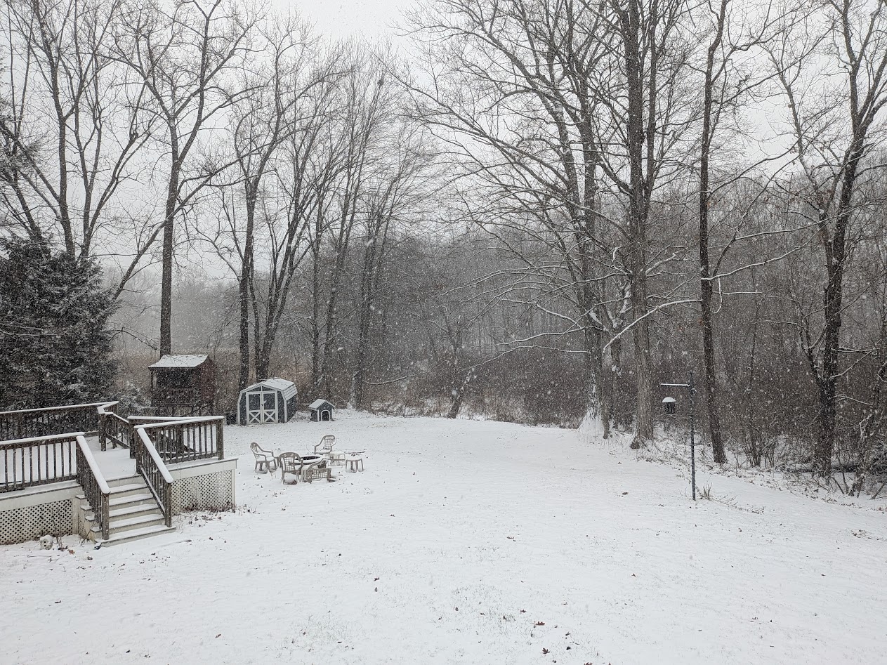
Picked 2.9” of fluff overnight, with 6.5” on the ground. That depth won’t last long though.