wxmanmitch
-
Posts
2,087 -
Joined
-
Last visited
About wxmanmitch

- Birthday February 22
Recent Profile Visitors


-

Significant Miller B Nor'easter Apr 3rd-4th OBS
wxmanmitch replied to wxeyeNH's topic in New England
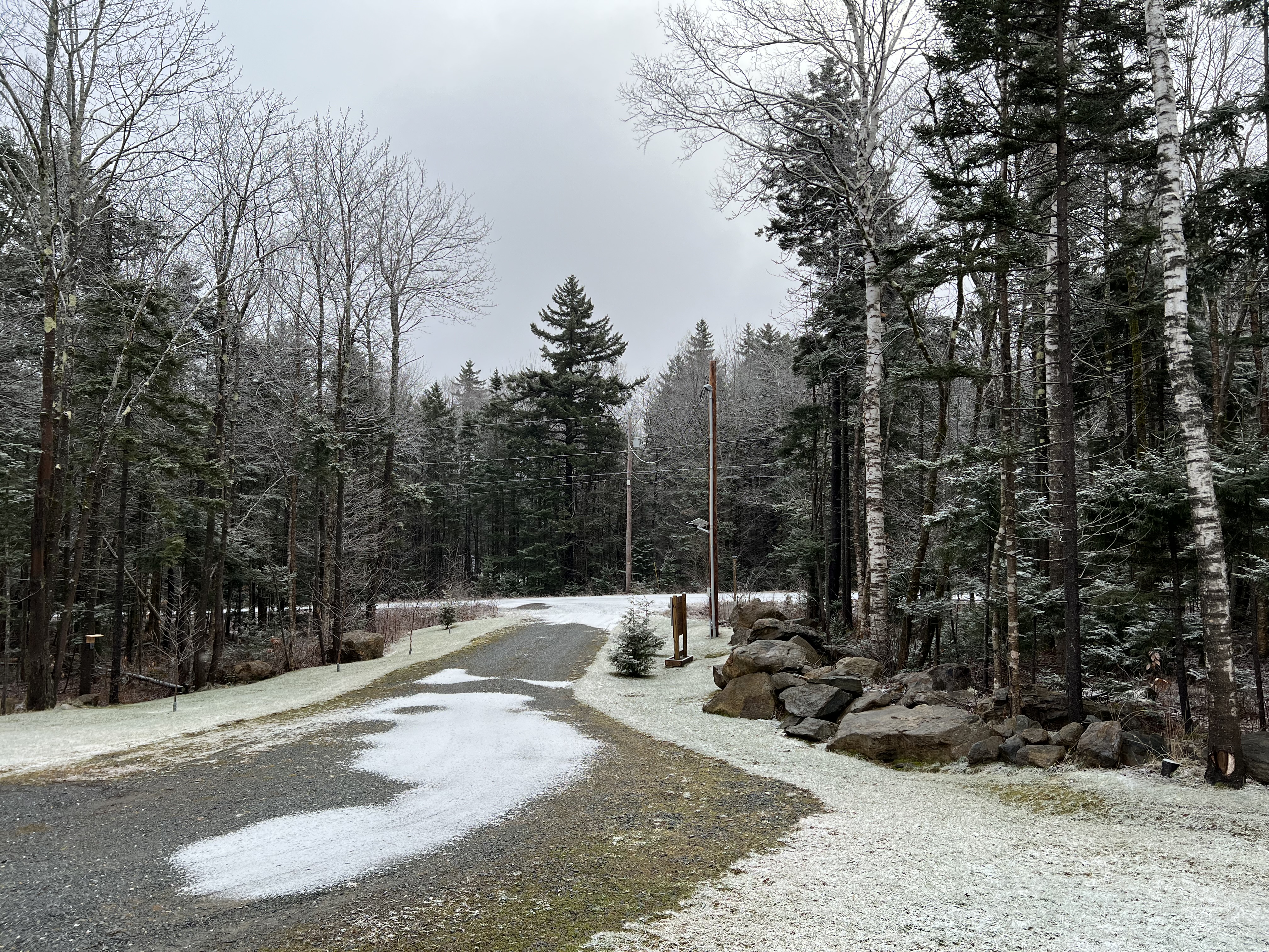
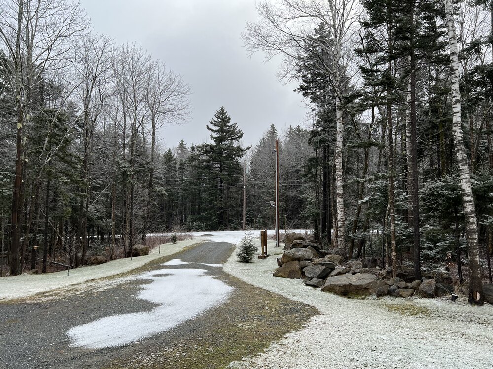
30° F, SN/PL mix. 0.5" of snow and sleet accumulation. Getting some low level snow growth beneath the warm nose aloft as we get upslope flow from the east. I've seen this happen whenever we have a high inversion like this. Snowflakes are mostly needles and needle clumps. Getting the classic freight train sound just overhead wit some decent gusts mixing down. Grid power is out, on backup. -
Planning to chase this eclipse at a venue about 1 mile south of the Canadian border in Newport, VT. The closest I was able to snag a hotel this late in the game was in Franconia, NH by Cannon Mountain. I'm surprised I was able to snag a room only 10-15 miles from the southern edge of totality that wasn't a huge price gouge. Hoteling it in the hopes to make the drive to and from totality shorter than day tripping from here as traffic is likely going to be a total clusterf***, especially after totality ends. I chased the August 21, 2017 totality in Casper, WY, but booked late and there were no hotels anywhere in or around totality so I flew to Denver, rented a car, and stayed a bit up I-25 from Denver. I got to Casper in 3-3.5 hours as I left my hotel around 2 AM, but the return took 10+ hours, and this was completely avoiding I-25. It was totally worth it though and hope the weather cooperates this go around. Early signs look decent, but there could be some high clouds coming in from the west out ahead of the next system.
-
Significant Miller B Nor'easter watch, Apr 3rd-4th
wxmanmitch replied to Typhoon Tip's topic in New England
Scalp fest has begun. PL, 31° F. There was a coating of snow last night during the evening from the WAA aloft once the column cooled enough to support RA to SN. Thinking 6-10" of sleet and snow here by Friday AM. Of course the wildcard is how quickly does that warm nose aloft collapse and we go from PL to SN. If I'm SN by 06z tomorrow, I could see 12"+. Mid level fronto tomorrow AM is also another wildcard. -
The Congrats Dendrite Deck Destroyer 3/23-3/25 obs discussion
wxmanmitch replied to Ginx snewx's topic in New England
6.8" of sleety, slushy snow that froze into a glacier overnight last night. 2.15" liquid equivalent. It was a weird event in that the usual mountain vs. valley snow dipoles didn't exist with this storm as it was pretty much all overrunning with a weak low and midlevel wind field. It's not everyday when Bennington (10") gets more from a synoptic snowstorm than I do. Purely a latitudinal gradient with snow increasing from SSE to NNW around here. 82.6" for the season, while Landgrove at 1,900' about 30 miles NNE of my location has had 129.4". Usually he and I quite similar, but I've been on the wrong side of the gradient several times this winter... -
9.4" storm total with 1.74" LE. Like a number of storms this winter it would've been good if it was a bit colder. Upslope part of the storm underperformed in S VT with only 3.2". Alas, something is better than nothing...
-
6.2" of snow with 1.43" of LE. There's some sleet in it, plus a slight glaze resulting from some freezing rain/drizzle during the dry slot overnight last night. Now let's see if I can do a daily double with the snow on 0.3" liquid by tomorrow from the upslope... -SN, 30.6° F. High was 32.1° F.
-
5.9" as of 12:30 AM EST. Changeover to straight sleet has occurred so this should about do it for the front end. 29.5° F.
-
4.5", heavy snow and wind. 29.5° F. Flakes occasionally aggregate and try to mix with sleet, but so far high UVVs and precipitation have been keeping midlevel WAA at bay. Very dense snow, probably a 6-7:1 SLR, but actually rather dry. Not loading up on trees or utility wires.
-
Dumping heavy snow, 2" when I got home at 8 pm, probably 2.5-3" now. Some aggregation going on. 29.6° F. Just rain with some sleet mixed in Williamstown and North Adams, MA.
-
I had two squalls today dropping 2.9" collectively. I had another 0.5" from one last night. This clip is from the height of squall number 2, which was shorter but more intense than squall 1.
- 365 replies
-
- 10
-

-
Happy New Year! Here are 2023's weather numbers for my location 5 miles NW Readsboro, VT at 2,230': Average Temperature: 44.0° F Low Temperature: -25.4° F (2/4) High Temperature: 83.0° F (7/6) Total Precipitation: 75.94" Total Snowfall: 124.1"
-
Heavy, heavy flizzard ongoing! 31.2° F. Might have to call in the National Guard to dig us out…
-
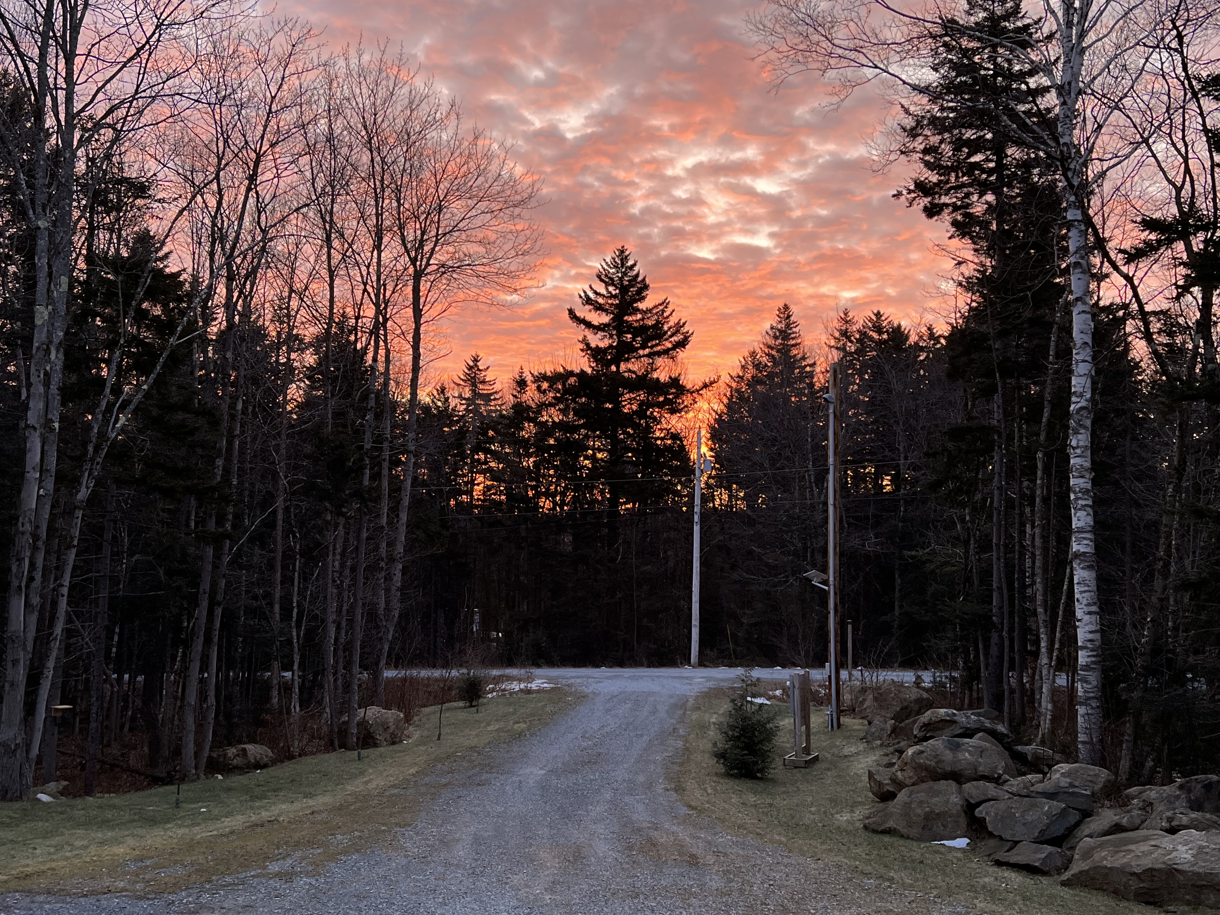
Season's Greetings! I will admit I haven't been on here much of late, but Twitter/X has been such a s***show since Musk's hostile takeover of the platform that gleaning weather info off of there has become an increasingly difficult proposition. My feed which was once a global town square of sorts with weather enthusiasts and professionals interacting with each other has turned into a cesspool of misinformation and junk that I have zero interest in. That said, as bad as it has gotten, it is still the best of the major social platforms for late breaking weather info as there are still relevant posts in my feed from time to time, and not the several days old stuff that I typically see on Facebook. Thanks to Musk X is dying, and may not be around much longer for better or worse IMO. I had high hopes for this winter with a weakening Modoki style El Niño taking hold, but those are beginning to fade some in light of the fact that we've had our warmest and least snowy December since 2015, and I'm not convinced this upcoming colder pattern can deliver the goods. It will be better than the status quo regardless. Hopefully we can get a good back loaded winter. I struck out with three storms earlier this month and late November with 32.5-33° F rain and "snain" that didn't accumulate to more than an inch of slop. Stratton and points north of there did considerably better with those. I guess this is payback for that epic 42" dump I had in mid March. In other news I've finally got decent internet up here with the installation fiber optic internet (~1.2 Gbps down/1.1 Gbps up) that blows even Xfinity and Spectrum out of the water. The aforementioned companies would never bring their services to my area and the incumbent provider Consolidated Communications (formerly FairPoint) wouldn't bring in their own fiber service, Fidium. Being on the wrong side of the digital divide, many of Vermont's towns banded together to form a series of regional communication union districts (CUDs) to chase after federal broadband infrastructure money and form non-profit community operated ISPs. As one of the least served towns in my respective district, we were one of the first to get fiber from Deerfield Valley Fiber (DVFiber). It's so nice to be off of that 10/1 Mbps bonded DSL connection where websites loaded like it was 1999. That speed may have been adequate in 2003, but not in 2023. I'll leave you with an epic sunrise shot from yesterday morning. It will be a totally brown Christmas here in the highlands of southern Vermont as well.

-
149.4" season total. Pretty much an average year snowfall wise, thanks in part to that epic nor'easter in mid March that dumped 42" here.
-
May obs/discussion thread - Welcome to Severe Season!!
wxmanmitch replied to weatherwiz's topic in New England
A raised bed garden in the backyard. It had to be dumped on a tarp in the driveway as there's no way a dump truck can get to the edge of my backyard.