MikeGold
-
Posts
710 -
Joined
-
Last visited
About MikeGold

Recent Profile Visitors
2,153 profile views


-
7" as of 1030. Thinking an inch or so more at best so totals will be a little lower than expected especially since it was all snow locally which accumulated immediately.
-
Ann Arbor just activated emergency broadcast system that pings cell phones telling everyone to get off the roads.
-
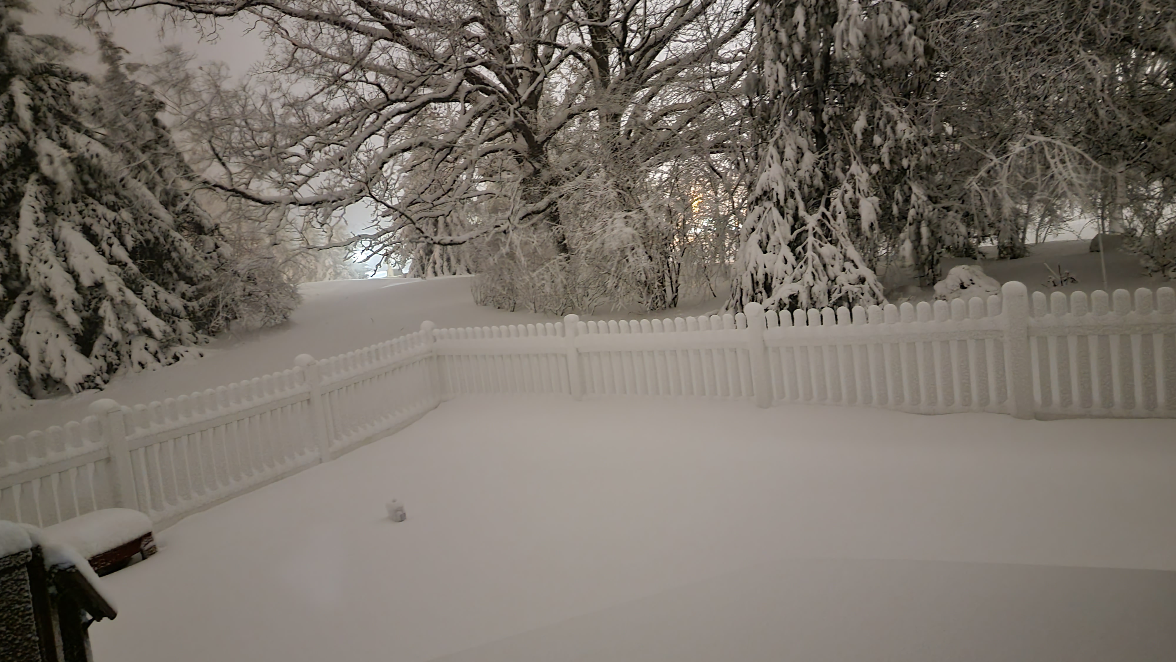
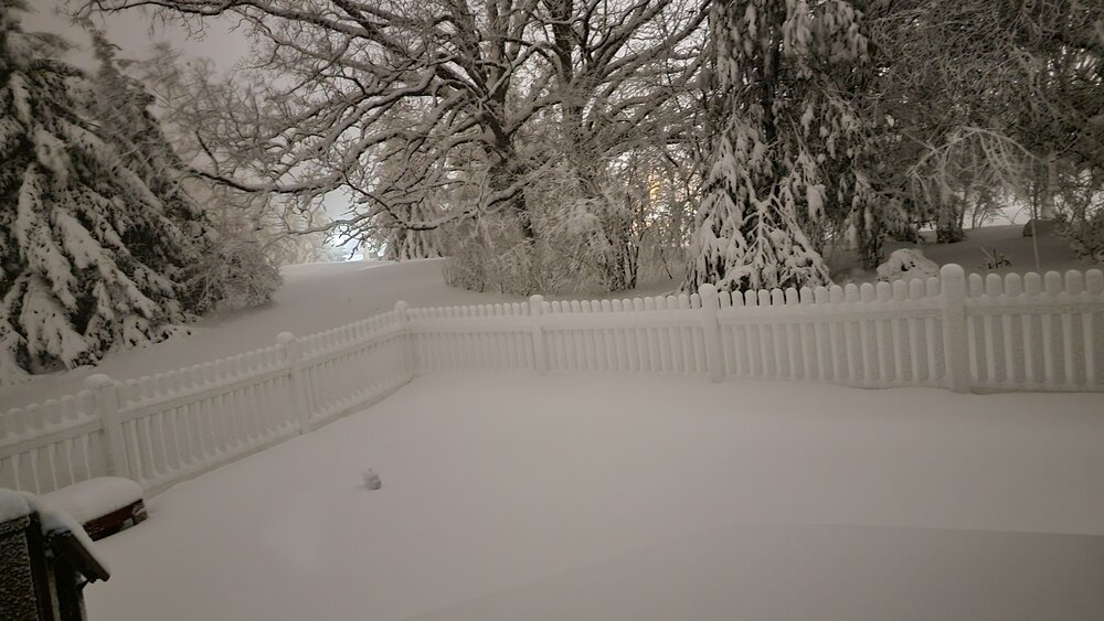
Current backyard view.
-
Epic thundersnow around 7 pm. 3 or 4 strokes extremely bright/loud; best thundersnow I've seen in many years. Hard to more pleased with how this storm turned out locally. Power is blinking right now....so maybe too much of a good thing?
-
Large flakes, and 35 just NW of Ann Arbor. No mix at all so far.
-
Specifically just East of where Wagner road crosses 94. I was first made aware of that area by a snowplow driver who told me it is where he consistently runs into the most snow in previous winters. Dexter should also do great in this setup with its cooler temperatures although precip totals are normally a little less than Ann Arbor.
-
Looks like ground zero will be the Ann Arbor area especially in the higher elevations on the west side. That is where it will be a couple degrees cooler and where the hills should be able to squeeze out some extra moisture with orographics in play due strong easterly winds.
-
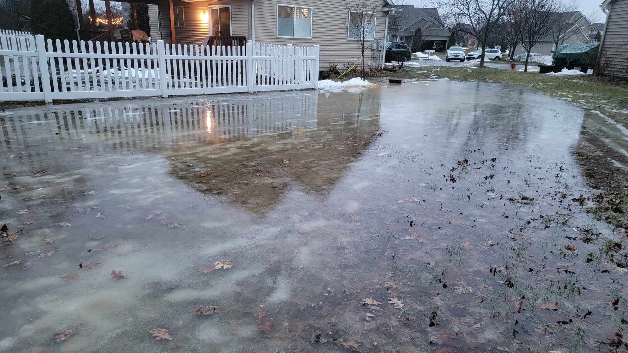
Bit of a disaster here in Dexter. The combination of frozen ground, snowmelt and overnight rain has caused it to flood into my basement. I had to create a dam out of snow to block the flow into a window well. This house just doesn't get a break. It was hit by the big Dexter tornado in 2012 and suffered EF2 damage.

-
I'm only 50 miles west of Detroit with moderate snow and a coating on the ground already so got to think the change over in Detroit will be much sooner than noon.
-
Rain/snow mix started at 5:30 just NW of Ann Arbor but still 36. Later than expected change over and lesser snows expected tomorrow have dropped expectations down to the 10 to 12 range.
-
Easy way to visualize this is to look at the DTX seasonal snowfall maps. Generally big jump in snowfall totals just East of Howell. Any easterly component to the wind will put Howell in a bit of snow shadow. https://www.weather.gov/dtx/seasonal_snow
-
Howell is definitely not a good spot for snow probably because it is too far east for lake effect and too far west of the glacial ridge where enhancement often occurs. Eastern Livingston/Washtenaw counties seem to always do better and not just with snow either. FYI...think 12 to 16" is still doable in the Dexter/Ann Arbor area if storm #2 ends up still clipping us.